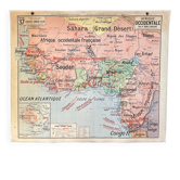
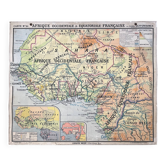
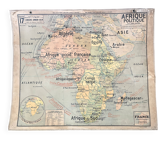
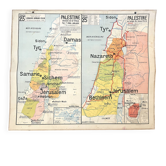
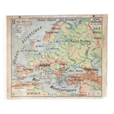
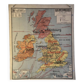
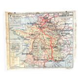
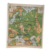
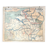
Old school map Vidal-Lablache 37, T10, 1914 - West Africa

- Dimensions :
- H100 x W120
- Color :
- multicolour
- Material :
- paper
- Style :
- vintage
🌐 Old geography school wall map representing French West Africa and the Antilles, Guyana and New Caledonia🌐 Original Vidal-Lablache collection. Circa 1915. Armand Colin Bookstore, 103 Bd Saint-Michel, Paris. Dufrénoy Zinc Printing, Paris. Print run 10, list of maps up to 43. Mention "General Atlas at the top" and material at the bottom with price mentions in francs. Polychrome cardboard poster. Dimensions: 120 × 100 cm. Front: 37 French West Africa (Sudan, Senegal, Guinea, Sahara, Cameroon, Congo, Nigeria, Sierra Leone, Ivory Coast, Niger...) Back: 37 bis Antilles, Guyana, New Caledonia (Guadeloupe, Martinique, Dominica, Saint Martin, Marie Galante, Nouméa, Cayenne...) Medallions: Legend, French possessions in Africa, World map. Very good condition: brass eyelets and fabric border present, colours preserved, some signs of use and age, stain at the bottom of Guyana (see photo). Dating: between 1913 and 1916. Cameroon (in yellow) is officially a German possession from 1908. The border on the map is that of 1911 (Agadir crisis). Cameroon will be occupied in 1916 and then divided between France and the United Kingdom. Upper Volta was created in 1920 and then abolished in 1932. It was recreated in 1947 as a territory of the French Union. Ideal for vintage decoration, collection or original gift! Map shipped carefully in thick cardboard cut to size in France or abroad. FREE SHIPPING FOR THIS MAP (in France, via Mondial Relais). For abroad, costs will be calculated based on the destination. Please contact me for rates.
Earth globes & geographical maps: other similar vintage pieces
Discover more similar items- -22%