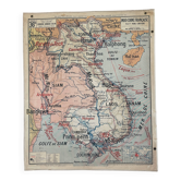
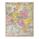
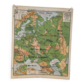
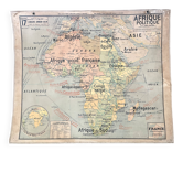
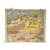
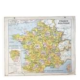
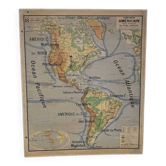
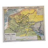
Old school map Vidal-Lablache Mézières 12, T33, 1910 Europe relief

- Dimensions :
- H100 x W120
- Color :
- multicolour
- Material :
- paper
- Style :
- vintage
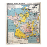
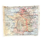
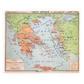
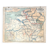
🌐 Old school geography wall map representing physical Europe, terrain relief. 🌐 Scale 1 / 5, 000, 000. Original Vidal-Lablache collection. Years 1900/1910. Armand Colin Bookshop, 5, rue de Mézières, Paris. Monrocq Printing, Paris. Print 33, list of maps up to 39. Mention "General Atlas, Historical Atlas" at the top and material at the bottom with price display in francs. Polychrome cardboard poster. Dimensions: 120 × 100 cm. Front: 12 - Physical map (Caucasus, Carpathians, Russian Plain, Ural, Pyrenees, Alps, Danube, Black Sea, Mediterranean, Atlantic...) Back: 12 bis - Blank map. Medallions: Legend, world map. Good condition: brass eyelets present, fabric border missing on some sides, one corner at the bottom damaged, other signs of use and age (see photo). Rare condition for a map of this era! Very nice patina, well-preserved colours and historical interest. Dating: before 1913. Armand Colin editions were located at 5, rue de Mézières until 1913, and the publication of Vidal-Lablache maps began in 1885. Ideal for vintage decoration, collection, or original gift! These maps, both aesthetic and educational, adorned French classrooms from the 1880s to the 1960s and sparked students' imaginations. The so-called blank maps allowed them to test their knowledge. Map shipped carefully in thick cardboard cut to size in France or abroad. FREE SHIPPING FOR THIS MAP (in France, via Mondial Relay or Colissimo). For abroad, costs will be calculated based on the destination (international Colissimo). Contact me for advantageous rates (Europe, worldwide). All types of payment accepted. Hand delivery possible in Lyon. Discount for multiple posters and maps purchased from my listings. Over 300 vintage posters and maps to discover on VintAffich. 12VL8.