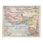
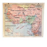
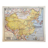
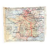
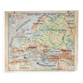
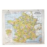
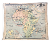
Old school map Hatier 51, 1930, Equatorial West Africa

- Dimensions :
- H100 x W120
- Color :
- multicolour
- Material :
- paper
- Style :
- vintage
🌐Old school geography map representing French equatorial and western Africa (colonial empire)🌐 Original Hatier collection, by P. Deffontaines. Hatier Bookstore, 8 rue d'Assas, Paris. Demersseman Cartography Workshop, Gaillac-Monrocq Printing, Paris. 1930s/40s (old version of map 51, French colonies) Polychrome cardboard poster. Dimensions: 120 × 100 cm. Front: 51 Political map (Western Africa, Equatorial Africa, Guinea, Dakar, Ivory Coast, Cameroon, Niger, Congo, Mauritania, Sahara, Freetown, Libreville...) Back: 51 bis Economic map (Sorghum, oil, wood, palm, ebony, mahogany, elephants, camels, dromedaries...) Cartouches: France compared to AOF and AEF, Ethnography, Rain and winds, Main imports, legend. Very good condition: brass eyelets present, fabric border missing in places, some signs of use and age (see photos). Beautiful patina and preserved colours. Ideal for vintage decoration, collection, or original gift! These maps, both aesthetic and educational, adorned French classrooms from the 1880s to the 1960s and sparked students' imaginations. The so-called blank maps allowed them to test their knowledge. Map carefully shipped in thick cardboard cut to size in France or abroad. FREE SHIPPING FOR THIS MAP (in France, via Mondial Relais). For abroad, costs will be calculated based on the destination (international Colissimo). Contact me for advantageous rates (Europe, worldwide). All types of payment accepted. In-person collection possible in Lyon.
Earth globes & geographical maps: other similar vintage pieces
Discover more similar items- -22%