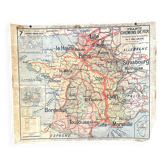
Old school map Vidal-Lablache 36, 1914, T14 – French Indochina

- Dimensions :
- H120 x W100
- Color :
- multicolour
- Material :
- paper
- Style :
- vintage
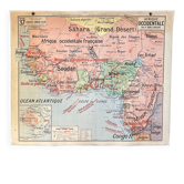
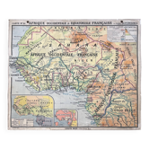
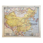
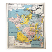
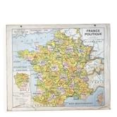
🌐Old school geography map representing Indochina and Madagascar (French colonies). 🌐 Scale 1 / 1, 500, 000. Original Vidal-Lablache collection. Circa 1914/15. Armand Colin Bookstore, Paris. Duffrénoy Zinc Printing, Paris. Print 14, list of maps up to 39! Mention "General Atlas at the top" and material at the bottom with price mentions in francs. Polychrome cardboard poster. Dimensions: 120 × 100 cm. "French Indochina" (the oldest designation) Front: 36 Political and Economic Madagascar (Tananarive, Mayotte, Comoros Islands, Mozambique Channel, Cotton Cultivation, Indian Ocean...) Back: 36 bis Political and Economic French Indochina (Mekong, Siam, Bangkok, Cochinchina, Saigon, Annam, South China Sea, Tonkin, Hanoi, Cambodia, Phnom Penh...) Cartouches: Reunion Island, French Union World Map, Climate and Vegetation, French Colonies, legends. Good condition: fabric border and metal eyelets present, beautiful colours, small tears restored at the edges, some signs of use and age (see photo). Rare condition for a map of this era! Beautiful patina, well-preserved colours, and historical interest. Dating: circa 1914. The title "French Indochina" dates from World War I. The world map side of Madagascar is titled "French Colonies, " a designation that existed until 1914/15. Ideal for vintage decoration, collection, or original gift! Map shipped carefully in thick cardboard cut to size in France or abroad. FREE SHIPPING FOR THIS MAP (in France, via Mondial Relais). For abroad, costs will be calculated based on the destination. Contact me for the rate.
Earth globes & geographical maps: other similar vintage pieces
Discover more similar items- -22%