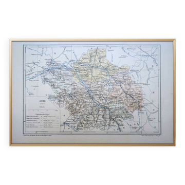
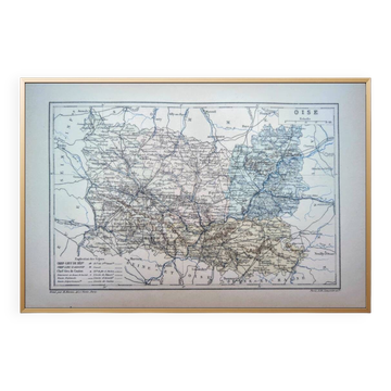
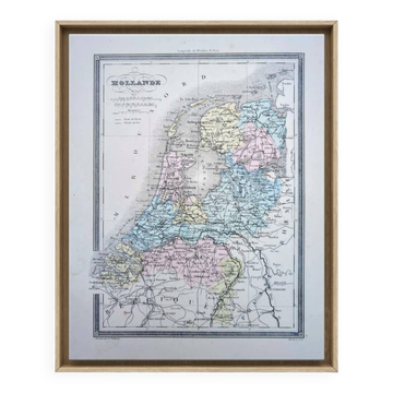
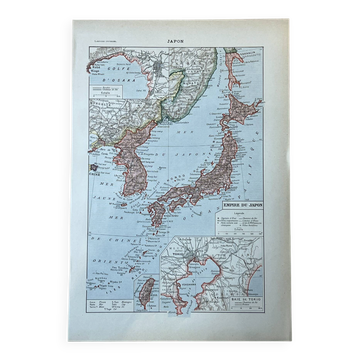
Antique engraved map of Wiltshire by J. Archer

This map represents Wiltshire, a historic county in southwest England known for its ancient monuments including Stonehenge and Avebury. Maps of this type were produced during the early to mid-19th century as part of the growing demand for county atlases and geographical references during the Victorian era. Joshua Archer was a London-based map publisher active in the mid-1800s, producing detailed county maps from his establishment in Pentonville. Antique county maps like this Wiltshire example are highly sought after by cartography collectors, local historians, and those with ancestral connections to the region. These maps offer a fascinating glimpse into historical geography, showing towns, villages, roads, and administrative divisions as they existed nearly two centuries ago. Collectors particularly value hand-colored examples and maps in good condition with original frames, as they serve both as historical documents and attractive decorative pieces that celebrate regional heritage.
Earth globes & geographical maps: other similar vintage pieces
Discover more similar items- -9%