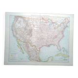
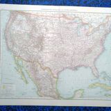
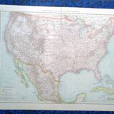
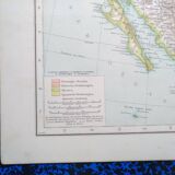
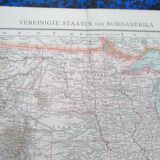
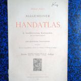

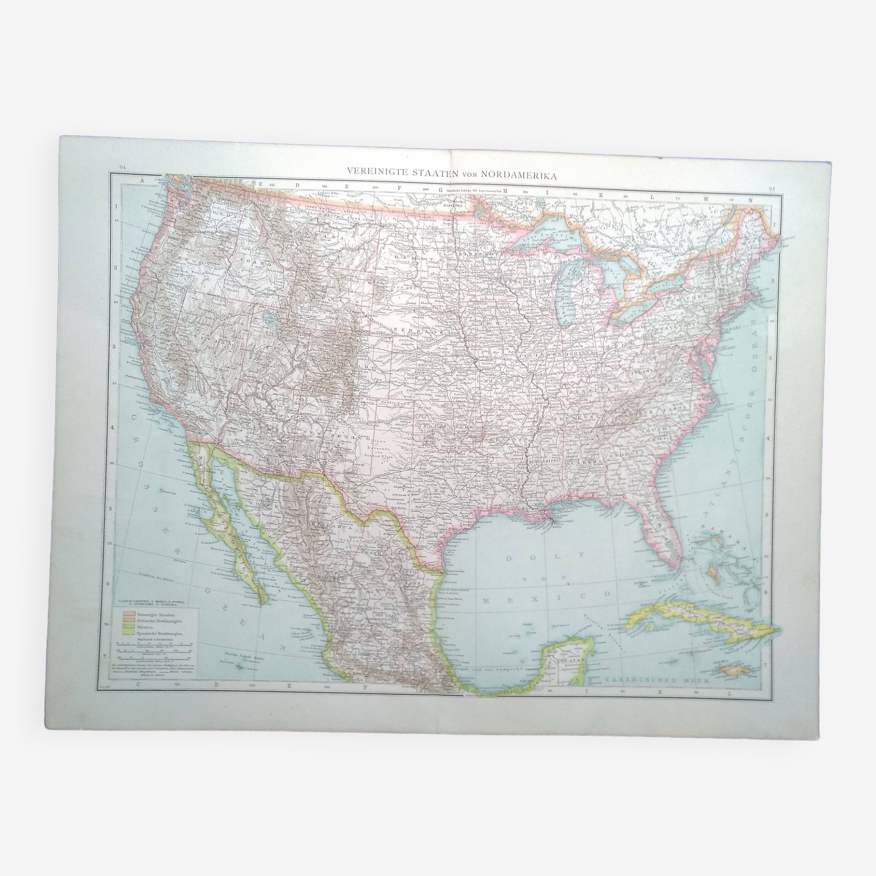

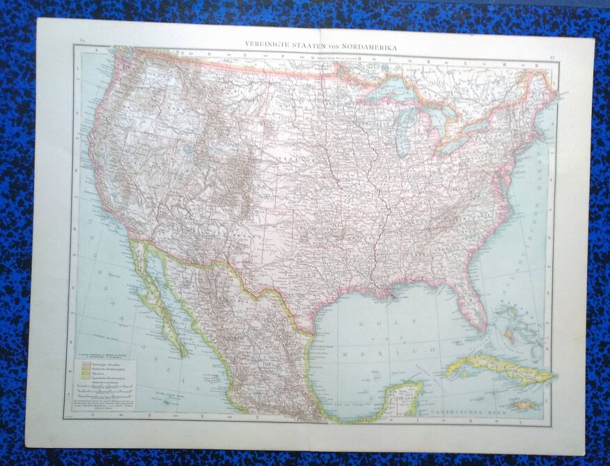
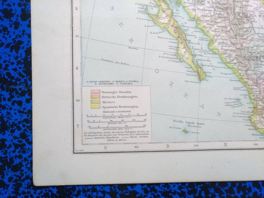
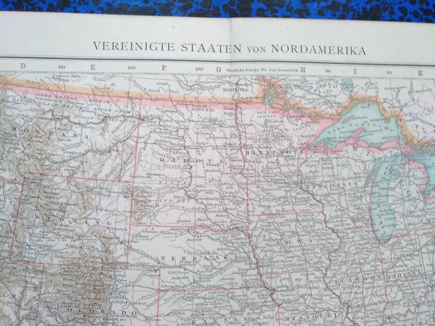
A geographical map from Atlas Richard Andrees year 1887 North America Nordamerika
- H56 x W42
- paper
- multicolour
5 ()
🙈 Oops, this product is already sold or unavailable. Discover our 1500 new products or products similar to this item !
Description
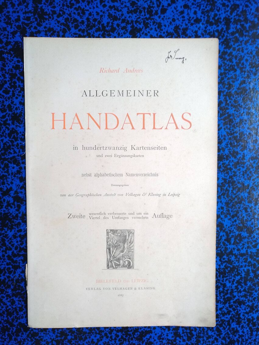
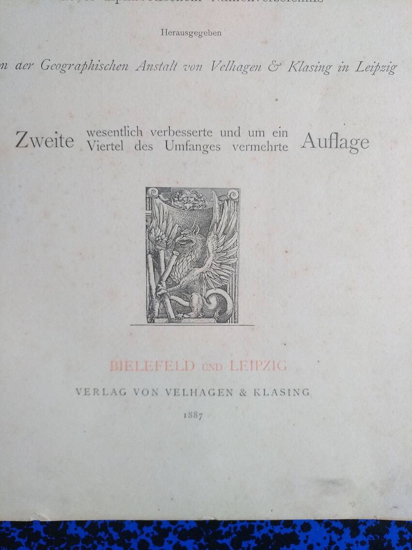
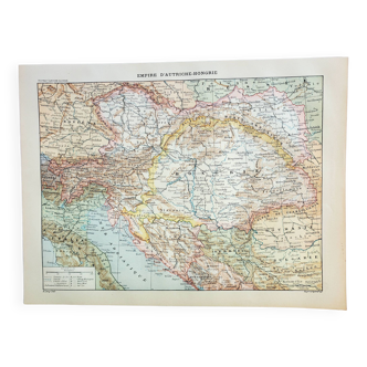
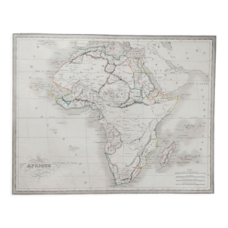
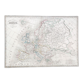
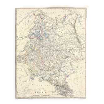
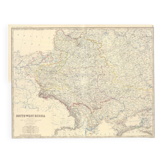
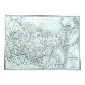
This map comes from a richard andrees atlas from 1887 and is folded! On the back on each half a card dir pacifischen staaten der union & zentralamerika. There is the photo of the cover page to justify its origin it is not sold with it. This card is sent in a large reinforced envelope. The given format is that of the unfolded map. The card support is relatively thick, so it provides good support for possible framing. Several maps available.
Ref. : Q582YFDE
- Dimensions :
- H56 x W42
- Color :
- multicolour
- Material :
- paper
- Style :
- vintage
Return your item within 14 days
Cherry-picked items
Carrefully selected sellers
100% secured payment