


Page 1 of 7
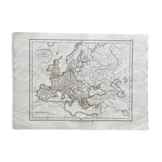
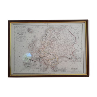
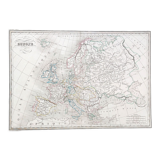
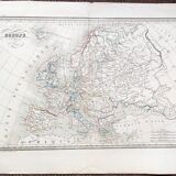
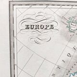
Old Map 1836 - Map of Europe
€60 €100
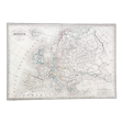
Old Map 1836 - Map of Europe
€60 €100
- Dimensions :
- H40 x W63
- Color :
- white
- Material :
- paper
- Style :
- classic
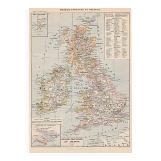
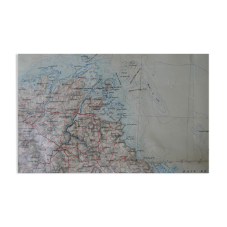
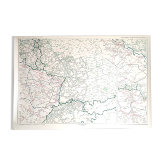
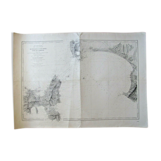
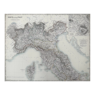
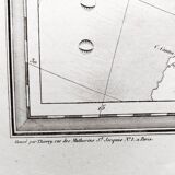
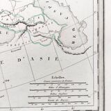
Old map 1836. Hand-colored engraving. Map of Europe from the "complete atlas of the precise of universal geography" by M. Malte-Brun in 1836. Engraved by Thierry rue des Mathurins Saint Jacques N°1. Paper dimensions: 63x39.5 cm. Dimensions engraving: 44.5x31 cm. Good general condition for age. Some small tears on the perimeter - some stains - normal tarnishing of the paper. Look at the photos to realize the defects.