


Page 1 of 10
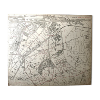
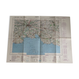
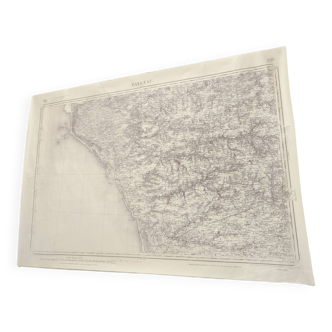
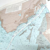
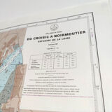
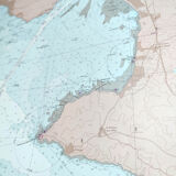
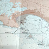
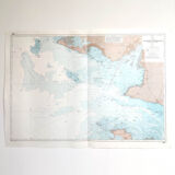
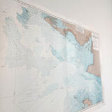
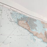
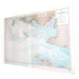
Estuary map of the Loire Croisic île Noirmoutier 1981
€65
🎁 30€ off on your first order with the code SELENCY30.
Learn more
Enjoy €30 off with a minimum order value of €300 (delivery cost excluded).
Estuary map of the Loire Croisic île Noirmoutier 1981
€65
- Dimensions :
- H85 x W120 x D1
- Color :
- multicolour
- Material :
- paper
- Style :
- vintage
Large vintage map of the loire estuary from croisic to noirmoutier island (west atlantic coast of france). Dated 1981. Dimensions: length 120cm and height 85cm. Cardstock cardboard card, a fold in the center.
🇫🇷
Alan P.
Super Pro
Sellers like this? We'd like to have thousands of them! This seller has fulfilled all of their clients' expectations. Will you be up next?
1140 sales
4.98 ()