
Page 1 of 10
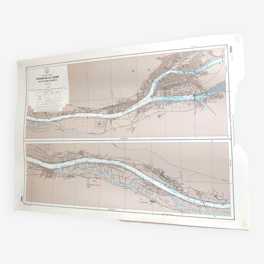
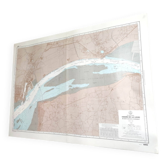
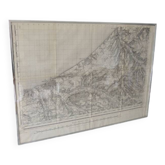
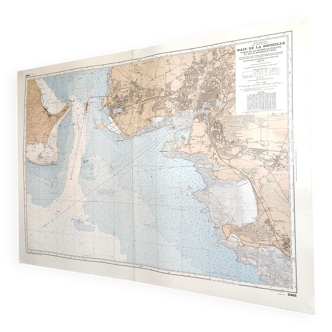
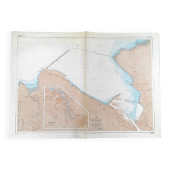
Vintage map Nantes cours de la Loire 1980
€60
- H53 x W75 x D1
- paper
- multicolour
Pro ambassador
This seller has earned our full trust with their record of flawless sales. Just read their customer reviews! A gem.
4.95 ()
Description
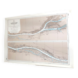
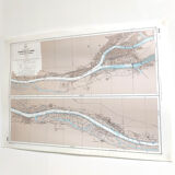
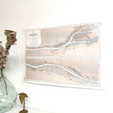
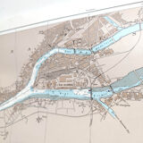
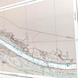
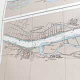
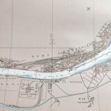
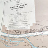
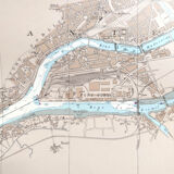
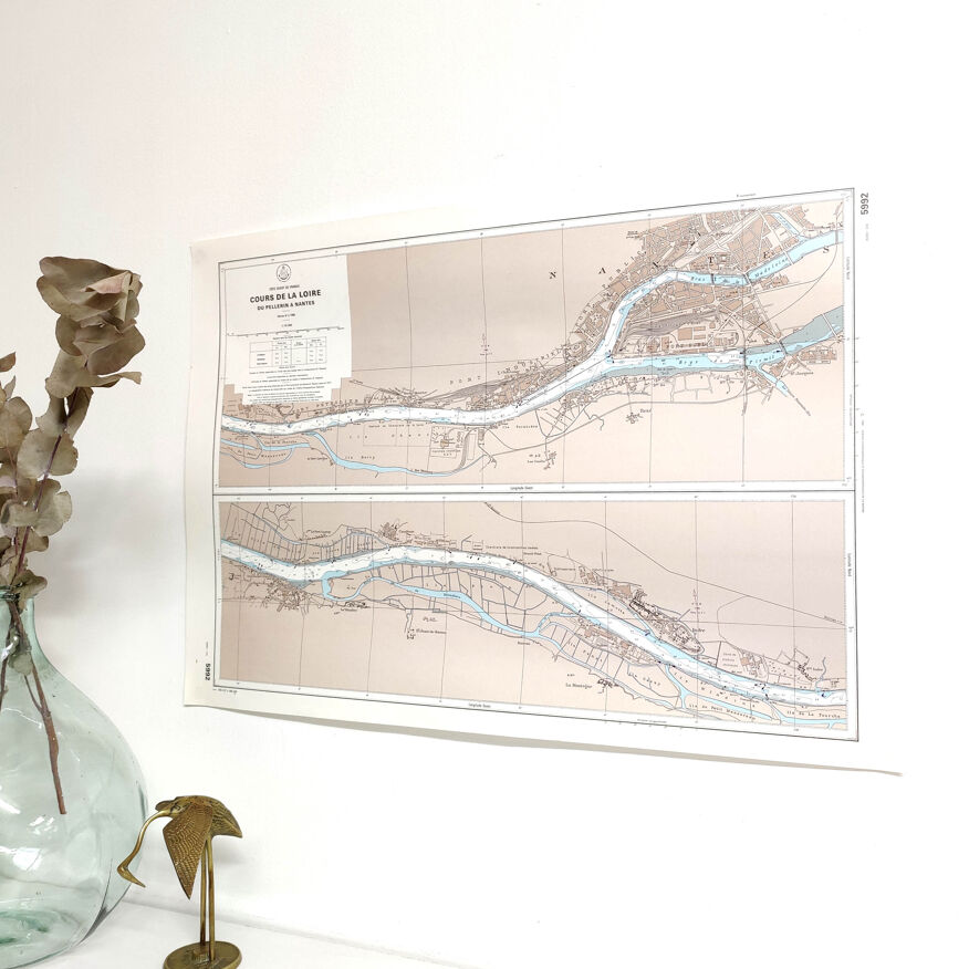
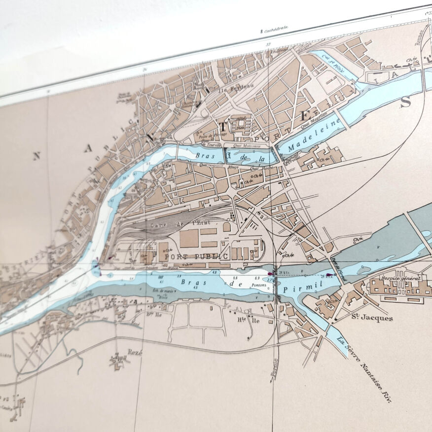
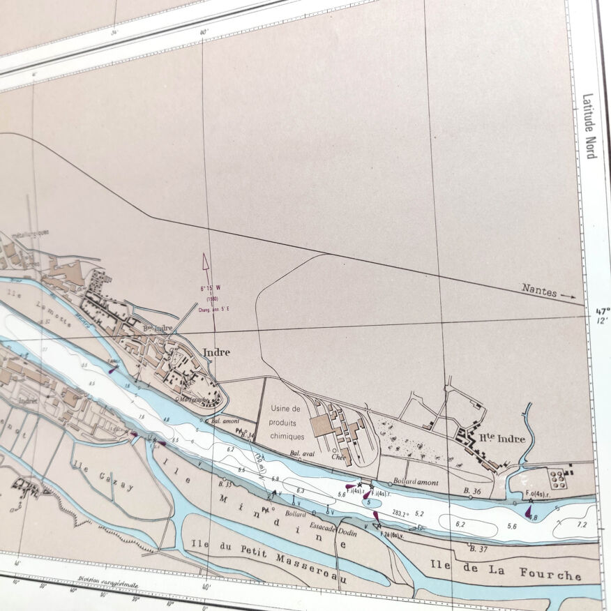
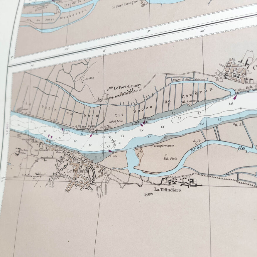
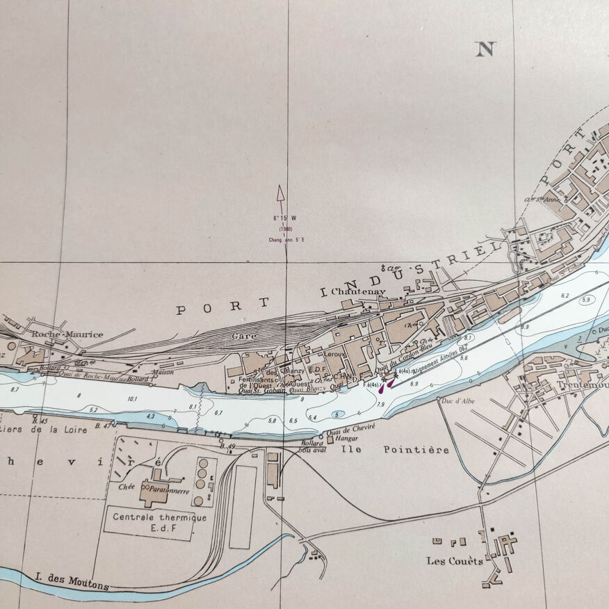
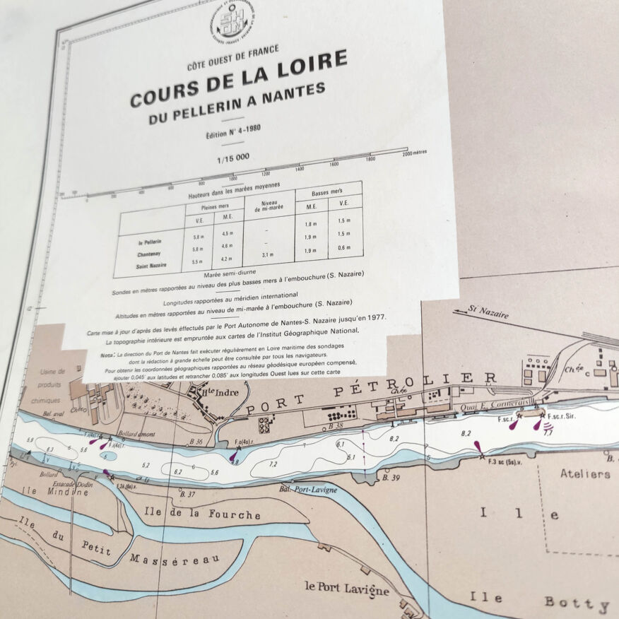
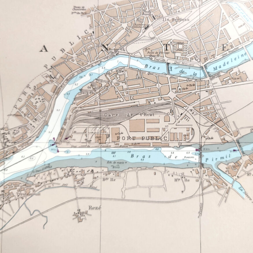
Nice big vintage map of the west coast of the france more precisely from the island of nantes to the pellerin (estuary of the loire and port of trentemoult). Dated 1980. Dimension: length 75cm and height 53cm. Cardstock map.
Ref. : 45Z742XG
- Dimensions :
- H53 x W75 x D1
- Color :
- multicolour
- Material :
- paper
- Style :
- vintage
Alan P.
Pro ambassador
This seller has earned our full trust with their record of flawless sales. Just read their customer reviews! A gem.
1057 sales
4.95 ()
Return your item within 14 days
Cherry-picked items
Carrefully selected sellers
100% secured payment