Page 1 of 13
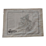
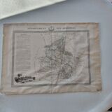
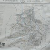
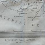
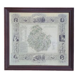
Map of the Ardennes department 1841
€40 €150
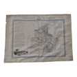
Map of the Ardennes department 1841
€40 €150
- Dimensions :
- H60 x W85
- Color :
- multicolour
- Material :
- paper
- Style :
- classic
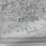
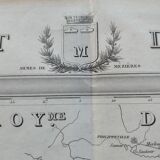
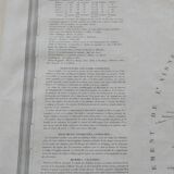
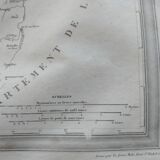
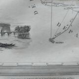
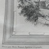
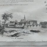
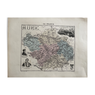
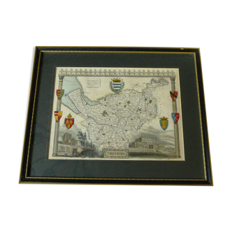
Map printed on strong paper. Map published in "atlas général de france", divided into departments by donnet & monin (geographic engineers), with arms and views of chapuy, engraved on copper and steel by the malo brothers, quai st michel-paris, at the publisher mbdusillon (1841). Each map is decorated with a view of the departmental capital and a statistical text relating to administration, agriculture, industry, trade and monuments and famous people. Alexis donnet was a geographer attached to the land registry. Good condition of the map, slightly yellowed paper but normal wear compared to the period.
🇫🇷
Béatrice B.
Professional
This seller has been carefully selected for their reliability and unique items. Let yourself be tempted.
55 sales
5 ()
