


Page 1 of 8
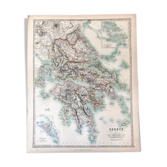
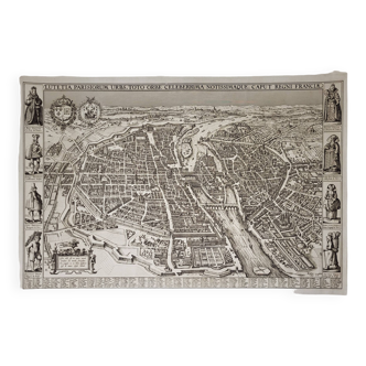
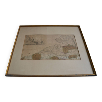
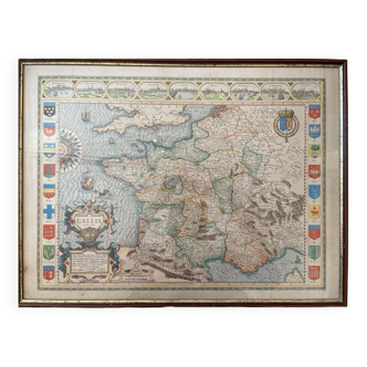
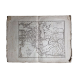
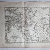
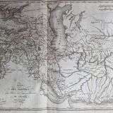
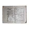
Map of the Parthian Empire from the Atlas of the History of the Emperors of 1819, 48 x 34 cm
€22 €42
Map of the Parthian Empire from the Atlas of the History of the Emperors of 1819, 48 x 34 cm
€22 €42
- Dimensions :
- H34 x W48
- Color :
- white
- Material :
- paper
- Style :
- classic
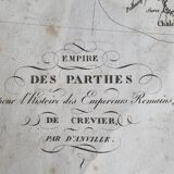
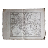
Old map of the parthian empire (nineteenth century), original engraving extracted from the atlas of the history of the emperors of 1819 after the history of the roman emperors of crevier by d'anville, ordinary geographer of the king. The map measures 34 cm high by 48 cm wide margins included, with age-related traces, freckles and traces of wear on the edges. In good condition otherwise. See detailed photos. Note. Cyprus, the cities of palmyra and babylon, the tigris river are mentioned.
Daniel G.
Pro ambassador
This seller has earned our full trust with their record of flawless sales. Just read their customer reviews! A gem.
1415 sales
4.94 ()