


Page 1 of 26
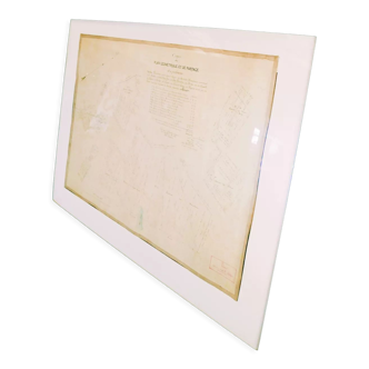
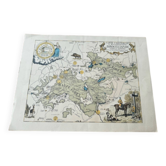
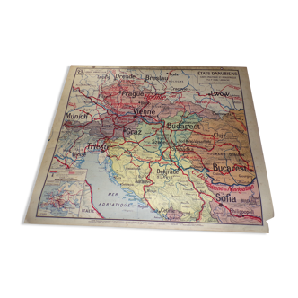
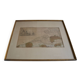
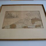
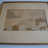
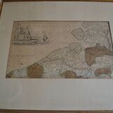
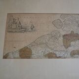
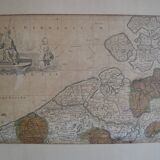
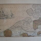
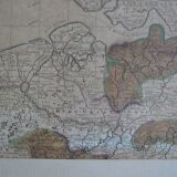
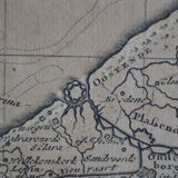
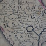
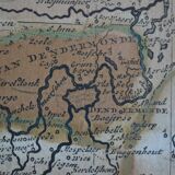
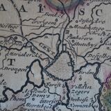
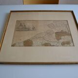
Map of the County of Flanders Belgium by Peter Schenck (1660 1718)
€300
🎁 30€ off on your first order with the code SELENCY30.
Learn more
Enjoy €30 off with a minimum order value of €300 (delivery cost excluded).
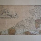
Map of the County of Flanders Belgium by Peter Schenck (1660 1718)
€300
- Dimensions :
- H57 x W65 x D3
- Color :
- white
- Material :
- paper
- Style :
- classic
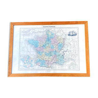
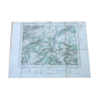
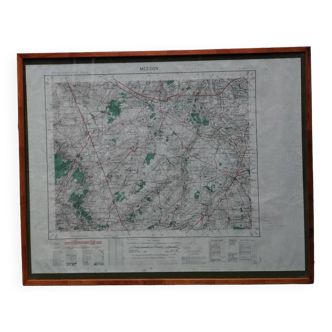
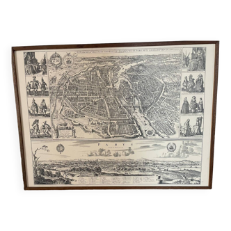
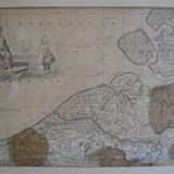
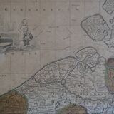
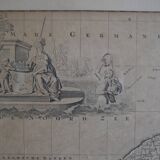
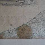
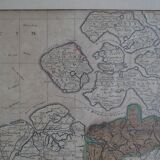
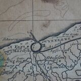
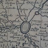
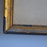
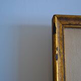
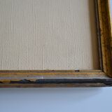
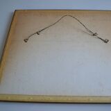
We offer you map of the county of Flanders Belgium "flandriae comitatus" by Peter Schenk (1660 1718) Copper engraving on watermarked laid paper, formerly colorized. Engraving around 1700, late 17th or early 18th century. Appears in Schenk's atlas contractus (ca. 1700) Scale approximately 1: 330,000. Beautifully framed and under glass (small defects in the gilding) Frame dimensions 65/57 cm. Card 64 / 48 cm. Stunning. Low price, worth grabbing.
🇫🇷
Philippe M.
Professional
This seller has been carefully selected for their reliability and unique items. Let yourself be tempted.
166 sales
4.96 ()