Page 1 of 6
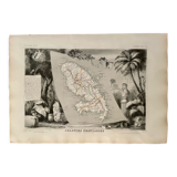
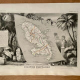
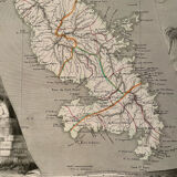
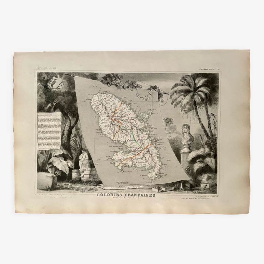
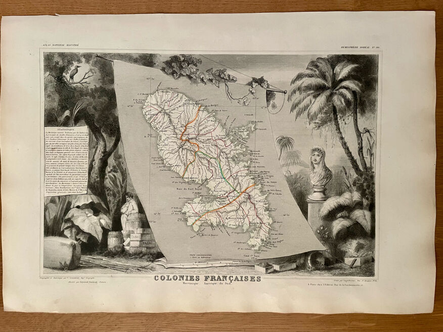
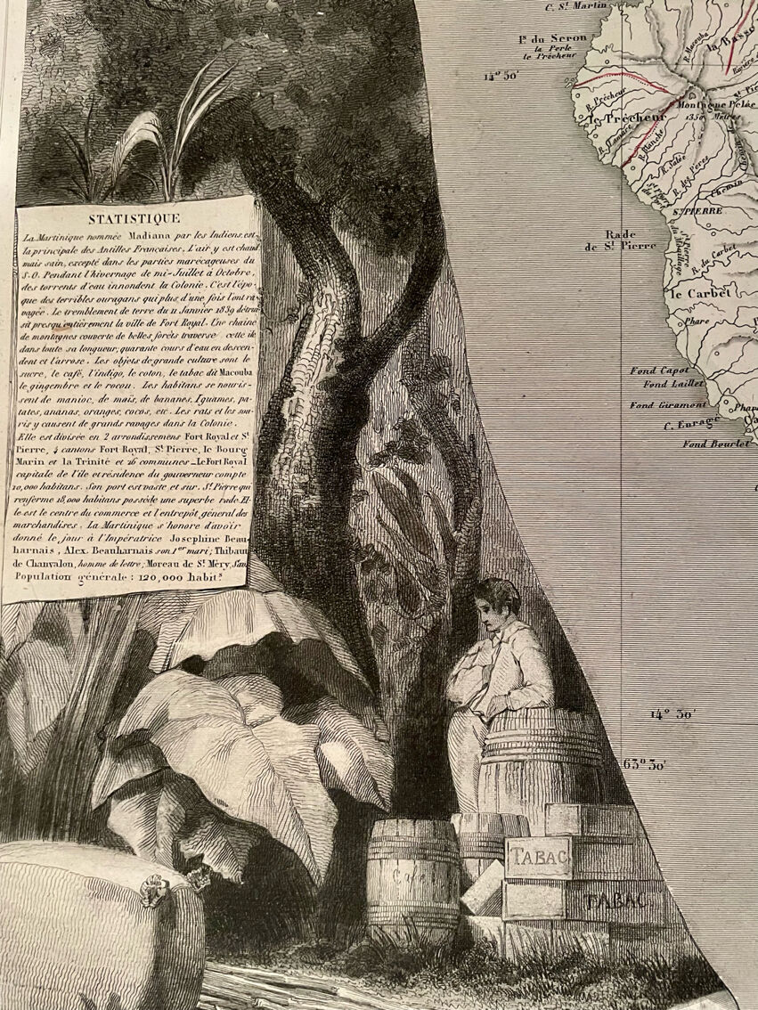
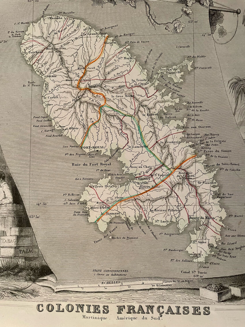
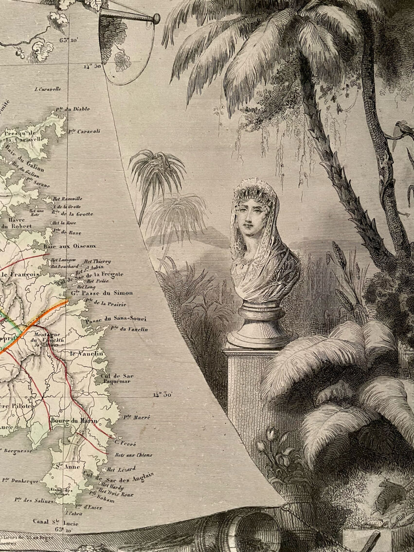
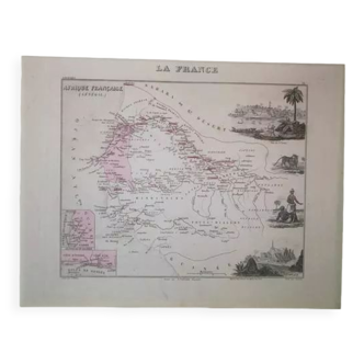
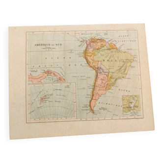
Illustrated map of Martinique and South America 1840
€115
- paper
- black
Pro ambassador
This seller has earned our full trust with their record of flawless sales. Just read their customer reviews! A gem.
4.95 ()
Description
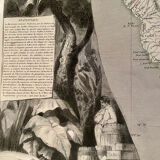
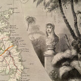
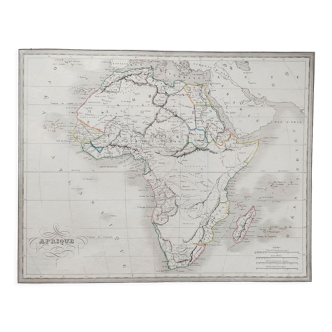
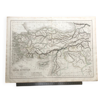
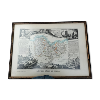
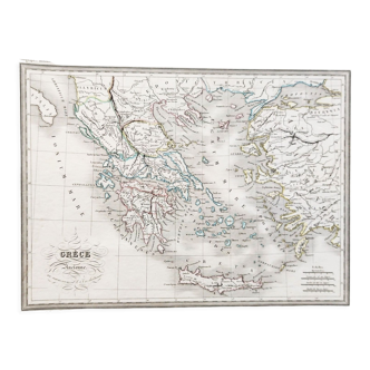
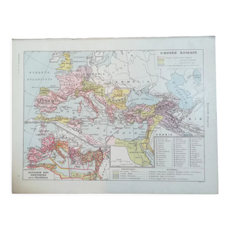
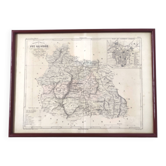
Old map of martinique and south america (original and very rare), extracted from an old colonial atlas. 💎 all lithographs and maps in this account are originals and not copies. Date: publication of the work in the 1840s. Dimensions: approx. 53 X 36.5 cm. To be framed. Decoration, decoration, vintage, gift idea and country house. World voyages cartography planisphere sea maritime country former colonies fort-royal, island, saint martin.
Ref. : Z3Y6XUFH
- Color :
- black
- Material :
- paper
- Style :
- vintage
Mathilde S.
Pro ambassador
This seller has earned our full trust with their record of flawless sales. Just read their customer reviews! A gem.
498 sales
4.95 ()


Return your item within 14 days
Cherry-picked items
Carrefully selected sellers
100% secured payment