Page 1 of 10
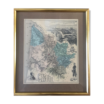
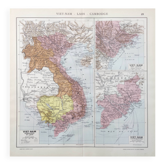
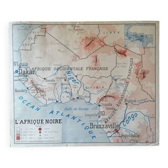
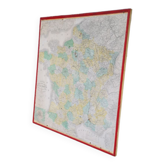
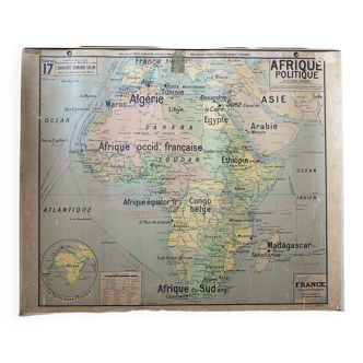
Old map of French Africa, Senegal 1861
€20
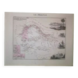
Old map of French Africa, Senegal 1861
€20
- Dimensions :
- H30 x W40 x D1
- Color :
- multicolour
- Material :
- paper
- Style :
- classic
Geographical map of french africa senegal. From the national illustrated atlas of france by levasseur - pelissier publisher. Paris. 1861. Original card, authentic it is not 1 reproduction. The main limits are enhanced in red or pink watercolor. There is 1 rich décor around the map. This is 1 fine quality print from the nineteenth century. They are engraved and already mounted on card pass. Drawn up by vuillemin and engraved by villerey. Very good condition.