
Page 1 of 12
School map West & Equatorial Africa map 1950s
€110
- H100 x W123 x D1
- paper
- multicolour
Super Pro
Sellers like this? We'd like to have thousands of them! This seller has fulfilled all of their clients' expectations. Will you be up next?
4.81 ()
Description
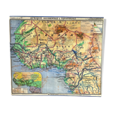
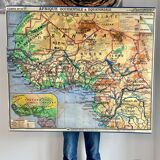
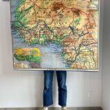
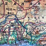
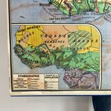
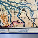
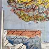
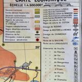
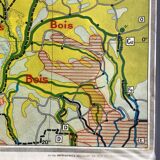
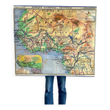
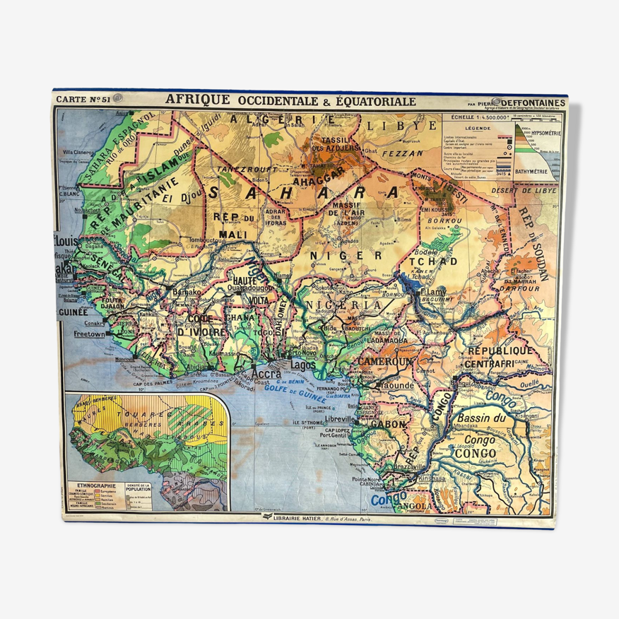
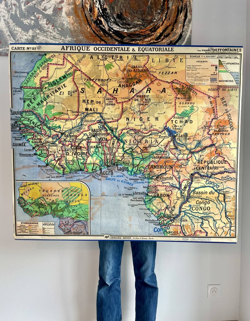
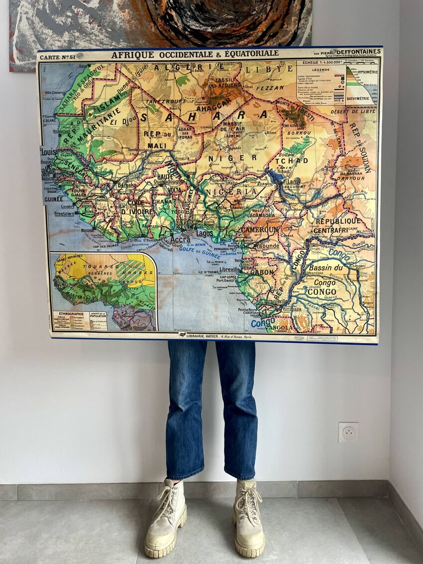
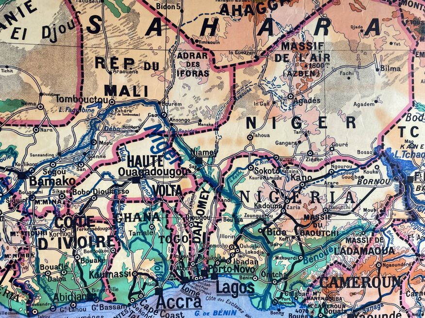
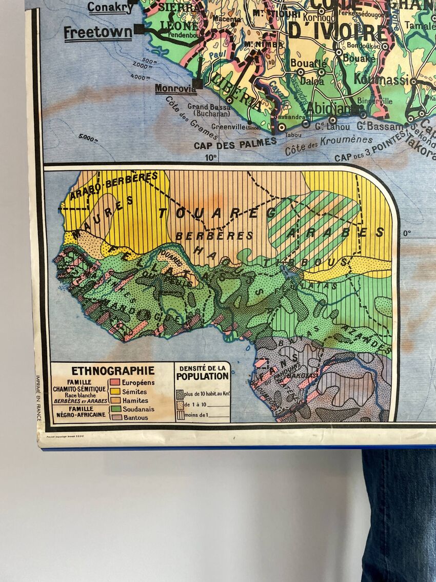
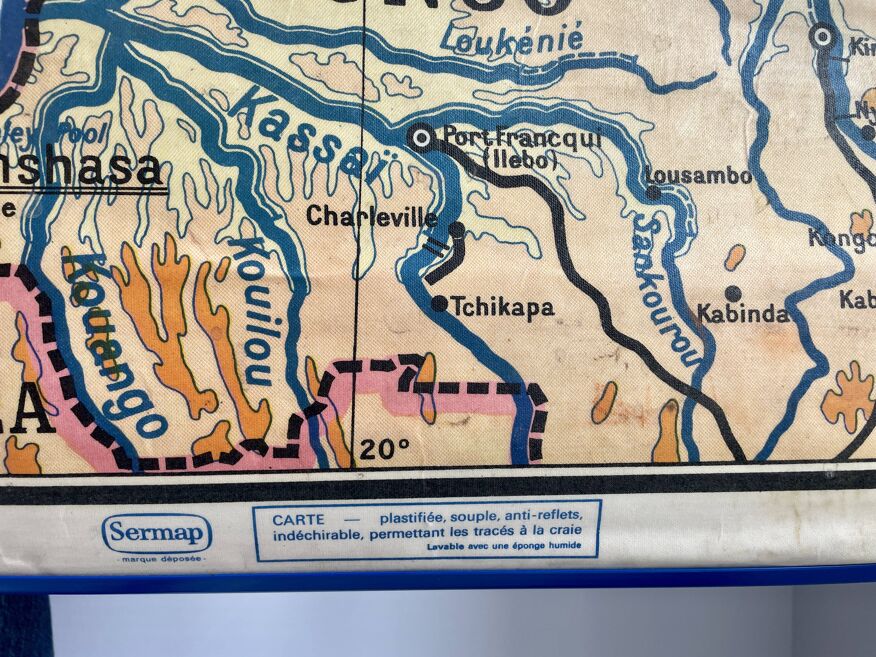
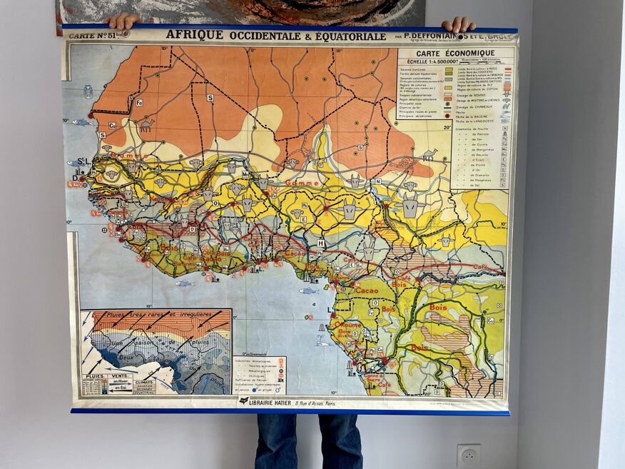
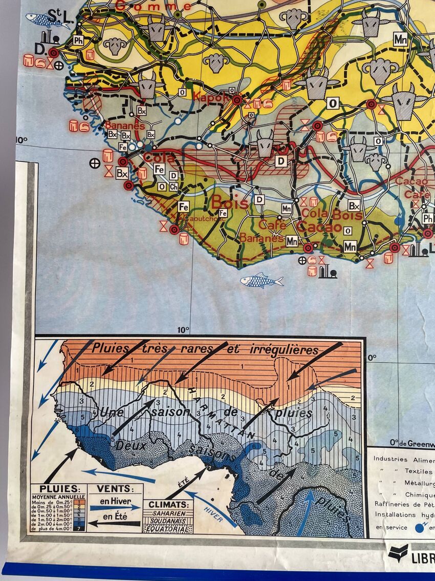
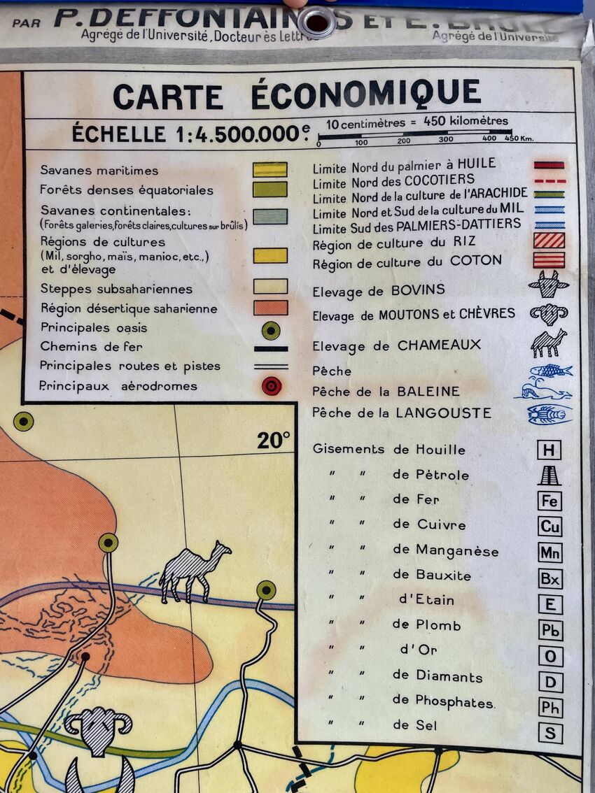
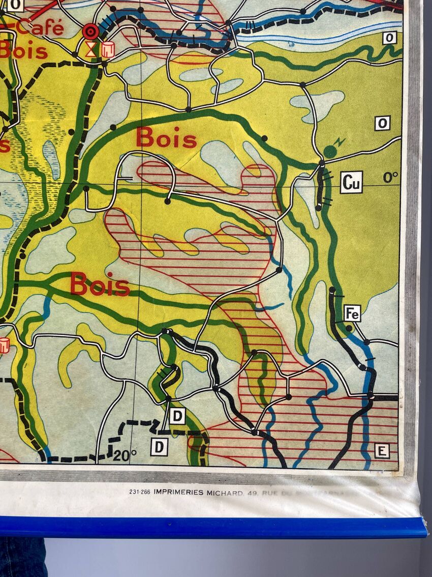
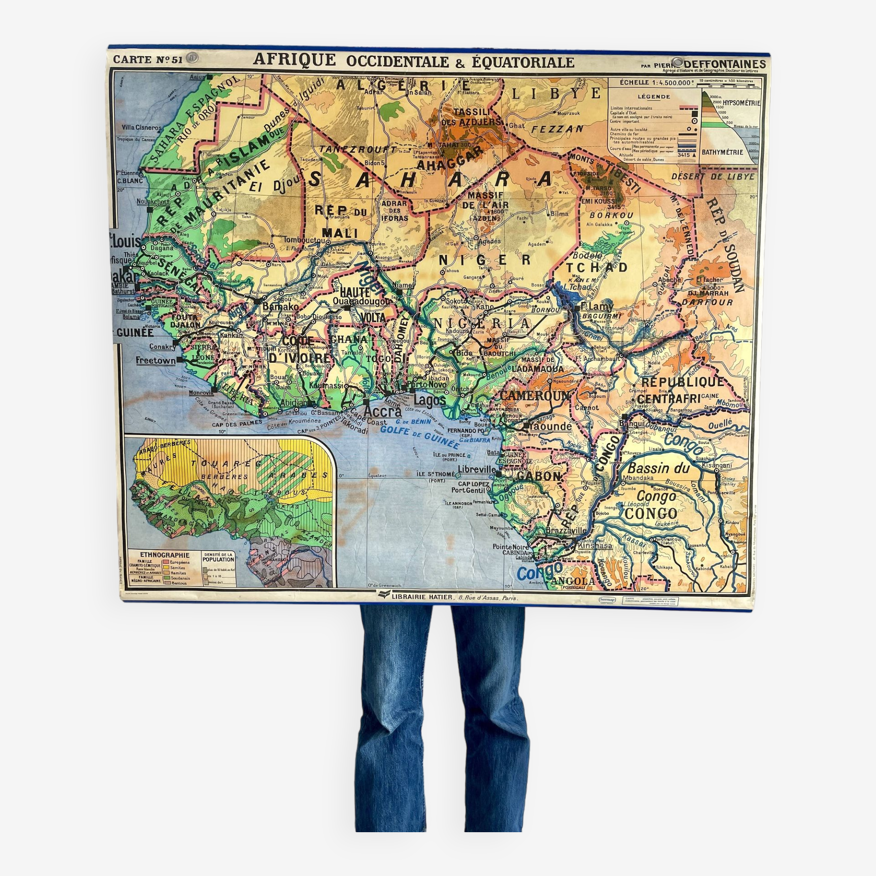
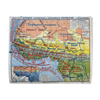
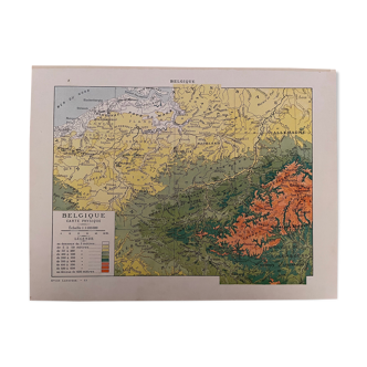
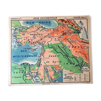
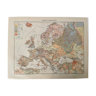
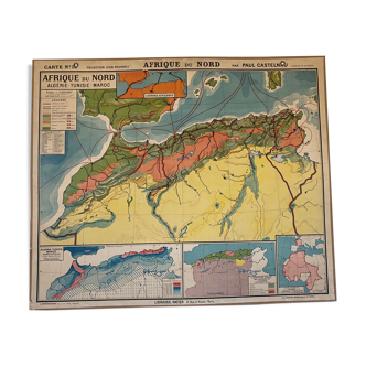
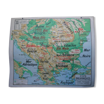
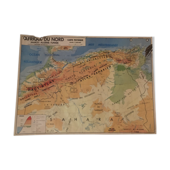
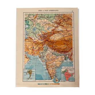
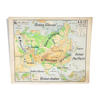
Old school laminated double-sided map representing western and equatorial africa. On the front, administrative borders, population density and representations of ethnic groups, numbers 51 and 51 bis. On the back, economic exchanges and climates. Possibility of hanging via two eyecups by the geographer pierre deffontaines at édition bibliothèque hatier - paris, made in france in the 1950s.
Ref. : XRFB98E2
- Dimensions :
- H100 x W123 x D1
- Color :
- multicolour
- Material :
- paper
- Style :
- vintage
Charlène R.
Super Pro
Sellers like this? We'd like to have thousands of them! This seller has fulfilled all of their clients' expectations. Will you be up next?
852 sales
4.81 ()
Return your item within 14 days
Cherry-picked items
Carrefully selected sellers
100% secured payment