Unavailable


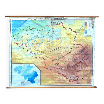
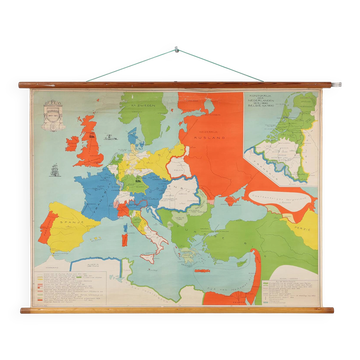
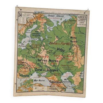
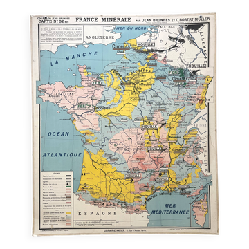
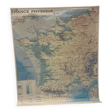
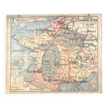
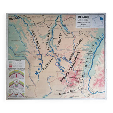
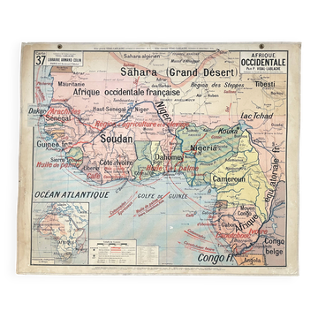
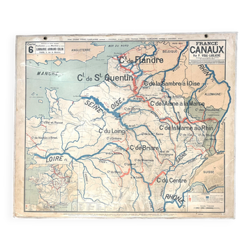
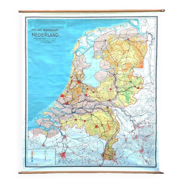
School Chart of Map Geography of the Netherlands, 950s
This item has found its owner, but other one-of-a-kind items await you. 👇
Discover similar items- Dimensions :
- H99 x W115
- Color :
- multicolour
- Material :
- linen
- Style :
- vintage
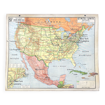
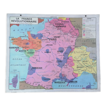
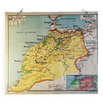
A beautiful old school map of the netherlands, painted on linen. The map shows the 3 different reliefs (low, middle, high) of the netherlands. The beautiful colors give this school map a colorful touch to your interior. The text is in dutch. There are some small tears at the edges, but the linen is otherwise undamaged. The school map is in very nice condition. Belgium, probably 1950s. Designer/manufacturer: unknown for de procure (brussels) In good vintage condition, with normal signs of use. Dimensions: 99 (h) X 115 (w) cm.