Map of the Alps
- H120 x W100 x D1
- paper
- multicolour
4.66 ()
🙈 Oops, this product is already sold or unavailable. Discover our 1500 new products or products similar to this item !
Description
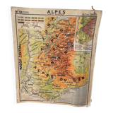
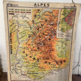
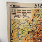
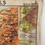
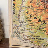
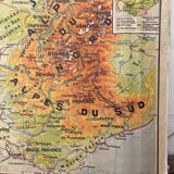
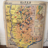
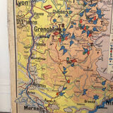
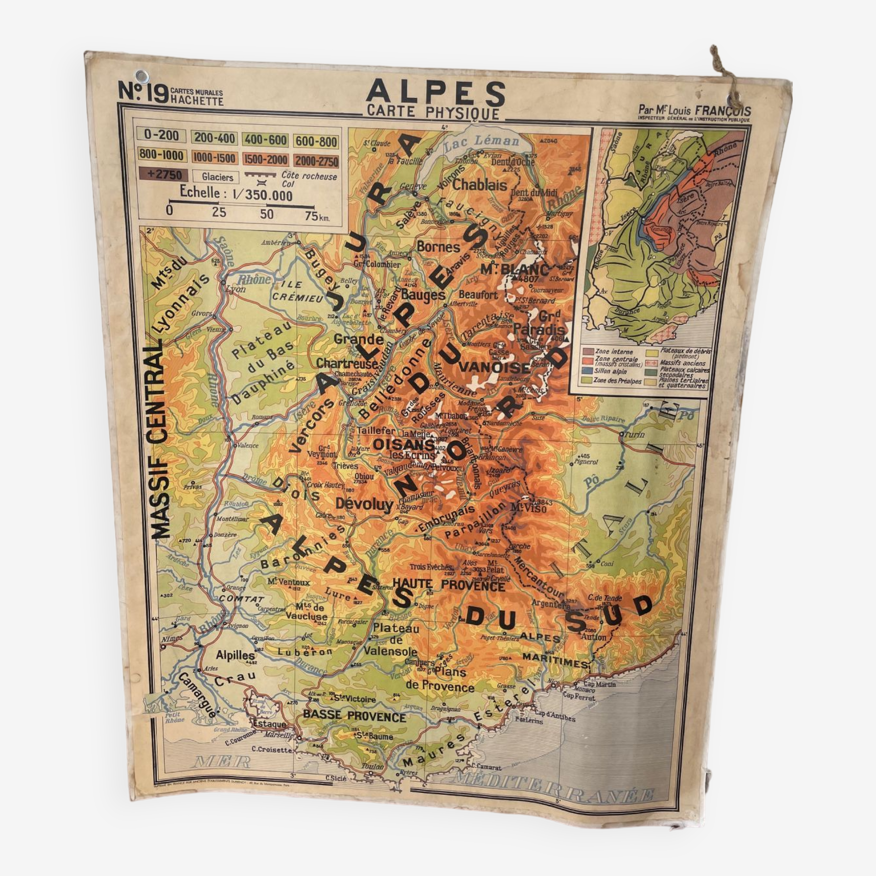
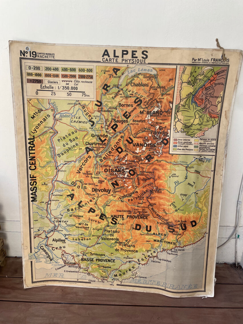
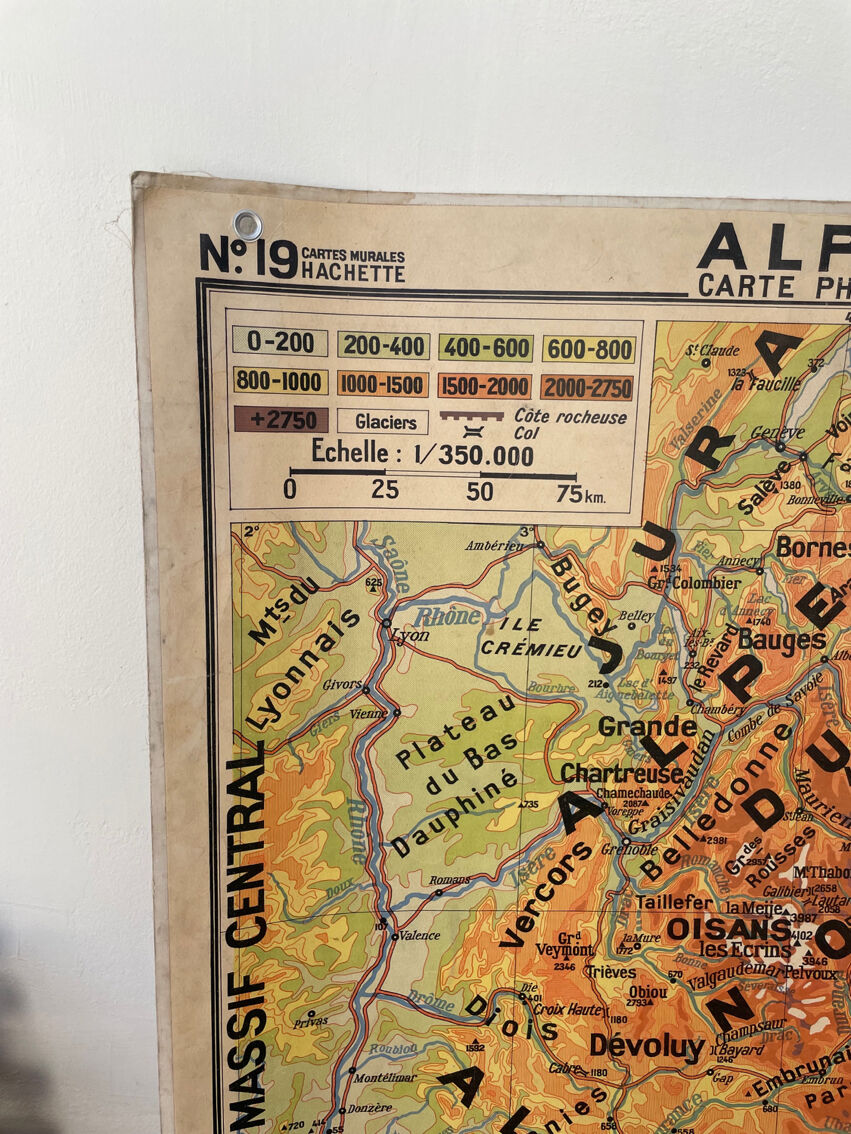
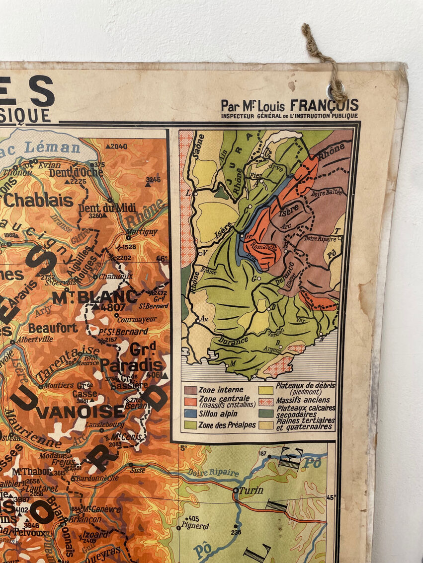
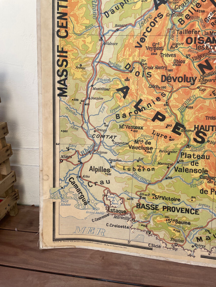
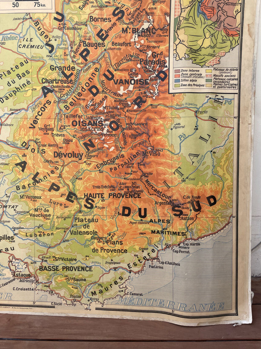
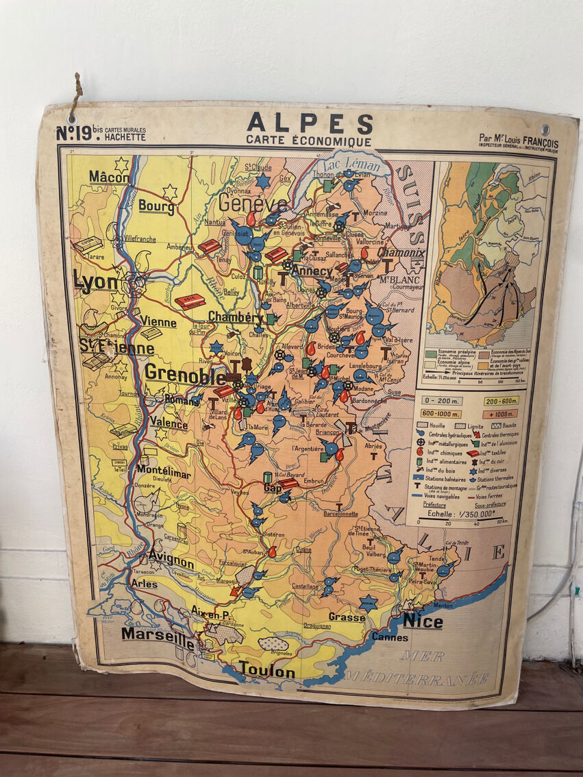
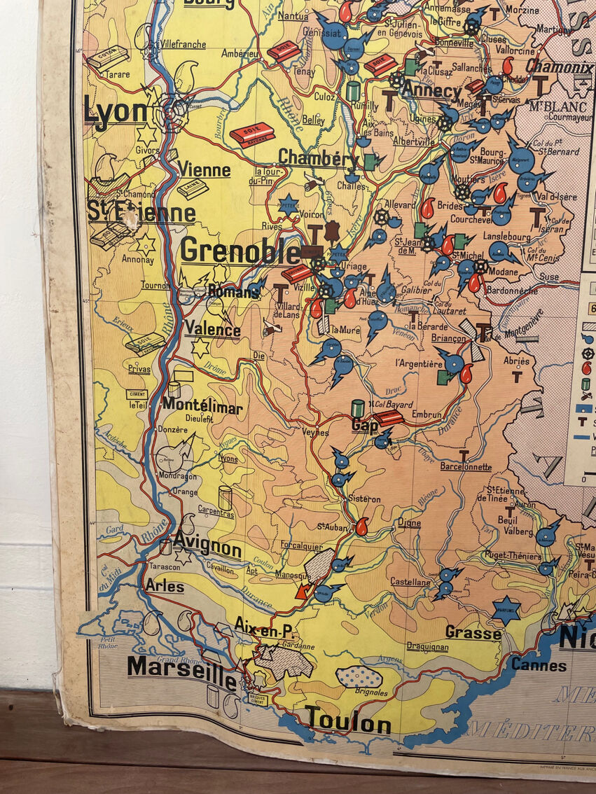
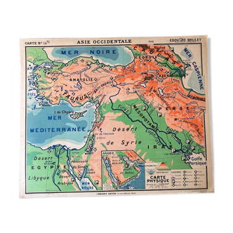
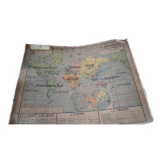
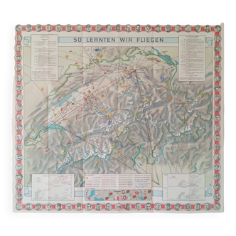
Physical and economic map of the alps, numbers 19 and 19 bis. By mr louis françois, inspector general of public instruction. Printed in france at the former dufrénoy establishments, 49 rue du montparnasse, paris. Wall map ideal for nature lovers, snow-capped peaks or not. This card does not bend or roll.
Ref. : QZU9KZBR
- Dimensions :
- H120 x W100 x D1
- Color :
- multicolour
- Material :
- paper
- Style :
- vintage
4.66 ()
Our suggestion of similar items
Discover more similar items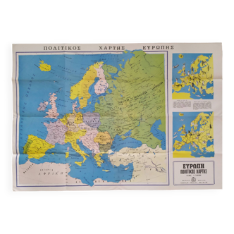


Return your item within 14 days
Cherry-picked items
Carrefully selected sellers
100% secured payment