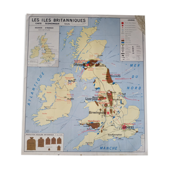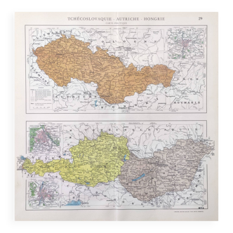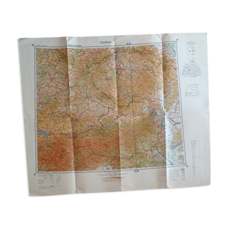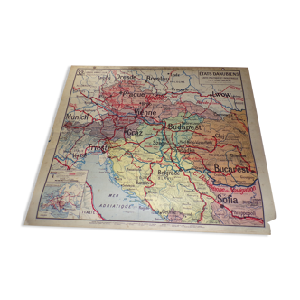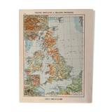
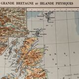
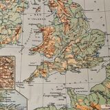
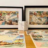
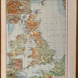


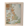
Old map of Great Britain and Ireland (physical) from 1945
- Color :
- multicolour
- Material :
- paper
- Style :
- vintage
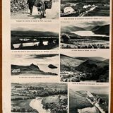
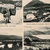
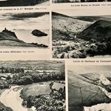
Lithograph displays old map of great britain and ireland (original), taken from an old atlas. 💎 all lithographs and maps in this account are originals and not copies. Illustrated on both sides and back (photographic board of landscapes and emblematic cities of the region) Other maps (including illustrated) on brazil, argentina and other countries also available on this account. Date: publication of the book between 1945 and 1950. Dimensions: 26 X 33 cm. To be framed. Deco, decoration, vintage, gift idea and country house. World travel mapping planisphere economy sea country maritime coasts atlantic ocean film and movie set paraguay geography guest house history mapping passion english united kingdom london liverpool, atlantic ocean, ireland, channel, wales bed and breakfast military, artillery, film set and cinema cavalry, england jubilee queen elizabeth II british london westminster abbey, windsor, london bridge london tour canterbury tower bridge.
4.97 ()