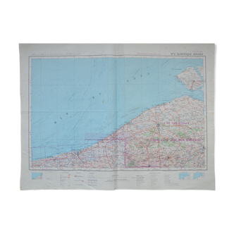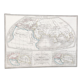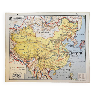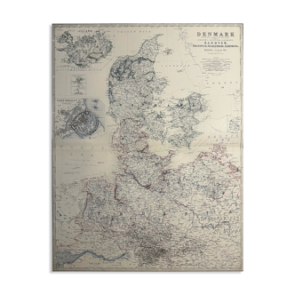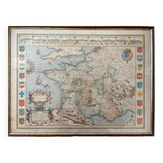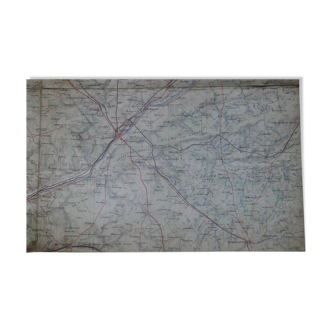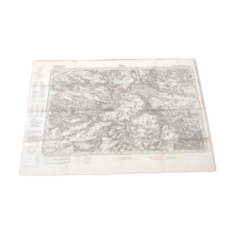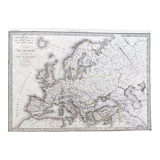
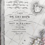
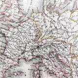


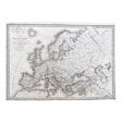
Old map of Europe around the year 350 - 1842
- Dimensions :
- H29 x W41
- Color :
- white
- Material :
- paper
- Style :
- classic
Old map 1842, engraving, hand colored. Map of europe before the invasion of the barbarians around the year 350, drawn up by m. Lapie colonel of the general staff. Comes from the "universal atlas of ancient and modern geography (...)" of pierre lapie and his son alexandre emile lapie in 1842. Engraved by pierre tardieu. Dimensions: 40.5x28.5 cm. Very good general condition. Card normally tarnished by time - a few moisture stains on the back. Look at the photos to realize the defects. Pierre lapie: officer in the french army, he joined the corps of geographical engineers in 1799 and made several campaigns of the consulate and the first empire. Captain in 1800, he was in charge of major surveying works. Appointed director of the topographical cabinet of king louis XVIII in 1814, he was promoted to chef d'escadron in 1819. Director of the survey and realization of the map of france, he was made lieutenant-colonel in 1829. Appointed chief of the topographical section of the war depot in 1830, he was promoted to the rank of staff colonel in 1832 and retired in september 18383. Colonel lapie is a knight of saint-louis and an officer of the legion of honour. Author of globes, atlases and maps, he contributed to many books. He is the father of alexandre emile lapie, also a cartographer, with whom he collaborated.