


Page 1 of 6
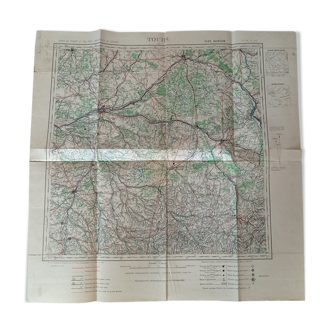
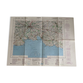
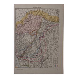
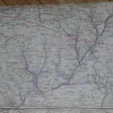
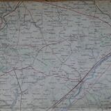
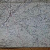
Old map of Tours, Blois, Orléans, Le Mans
€19 €25
Old map of Tours, Blois, Orléans, Le Mans
€19 €25
- Dimensions :
- H40 x W64
- Color :
- multicolour
- Material :
- paper
- Style :
- classic
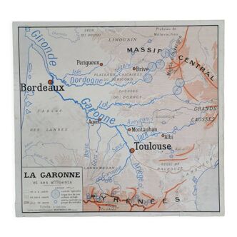
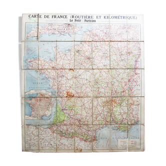
Old map of the region of Tours, Blois, Orléans, Le Mans dating from the end of the 19th century, beginning of the 20th century. Scale 1: 200,000, or 1 cm for 2 km. Printing: recto. Unfolded dimensions: 64 X 40 cm. Map in good condition. The folds were formerly reinforced on the back. Some annotations of city names and old traces on the back.