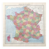

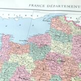
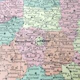
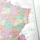
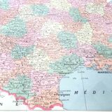
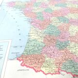

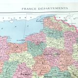
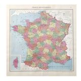
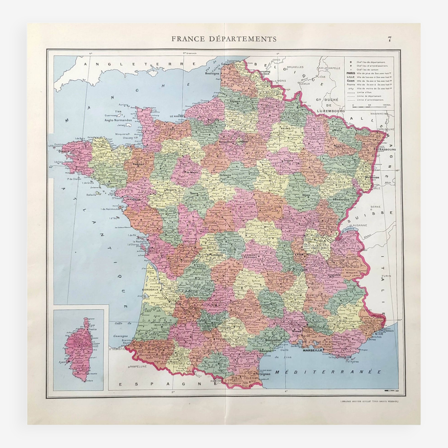
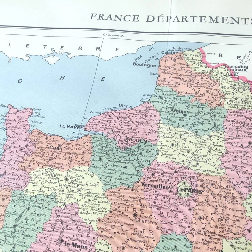
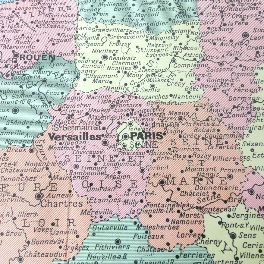
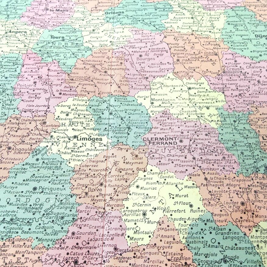

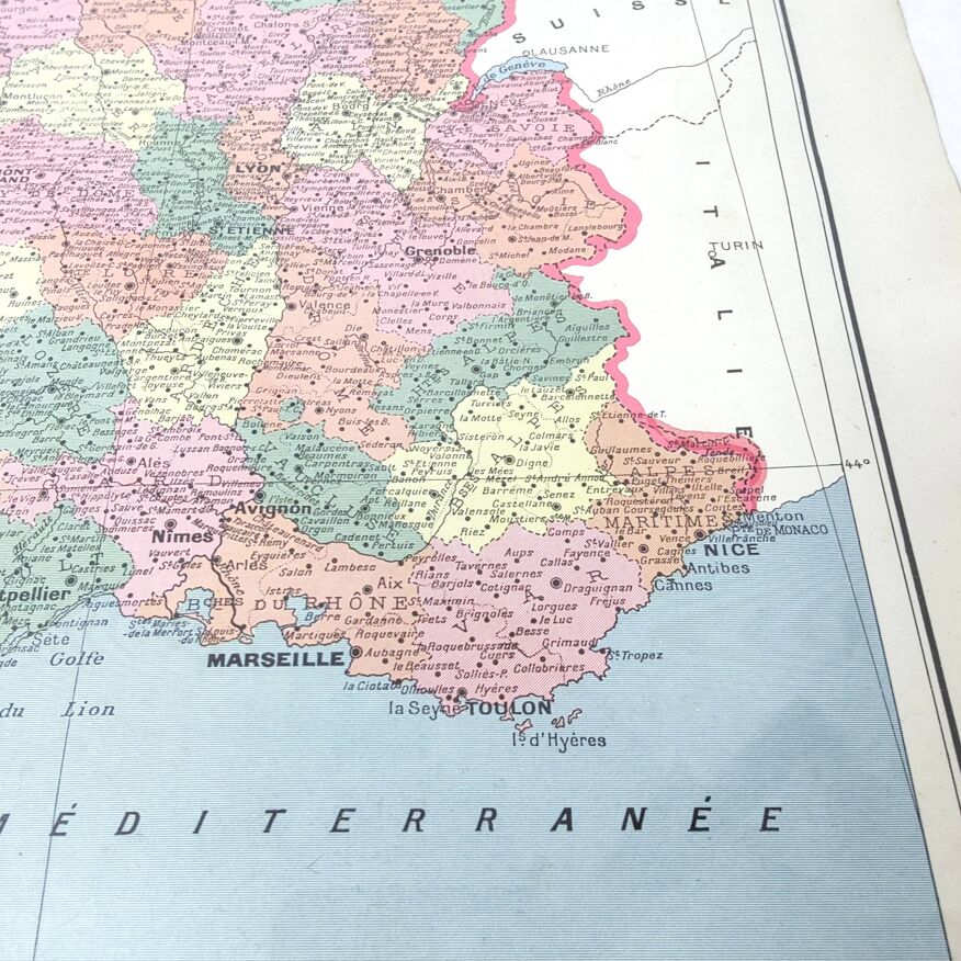
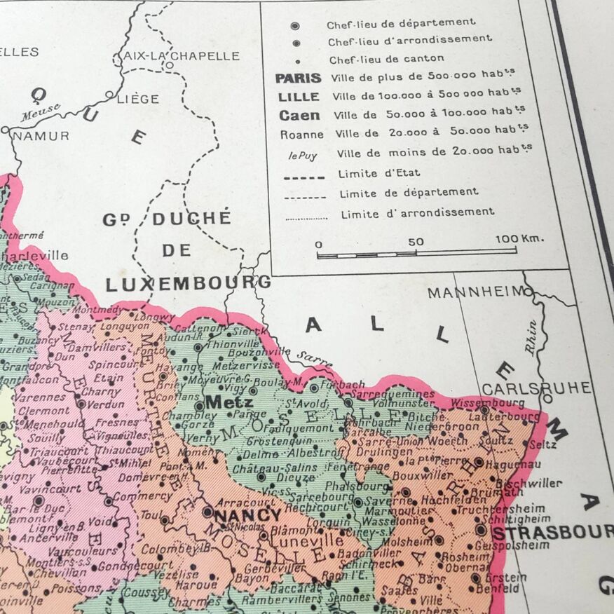
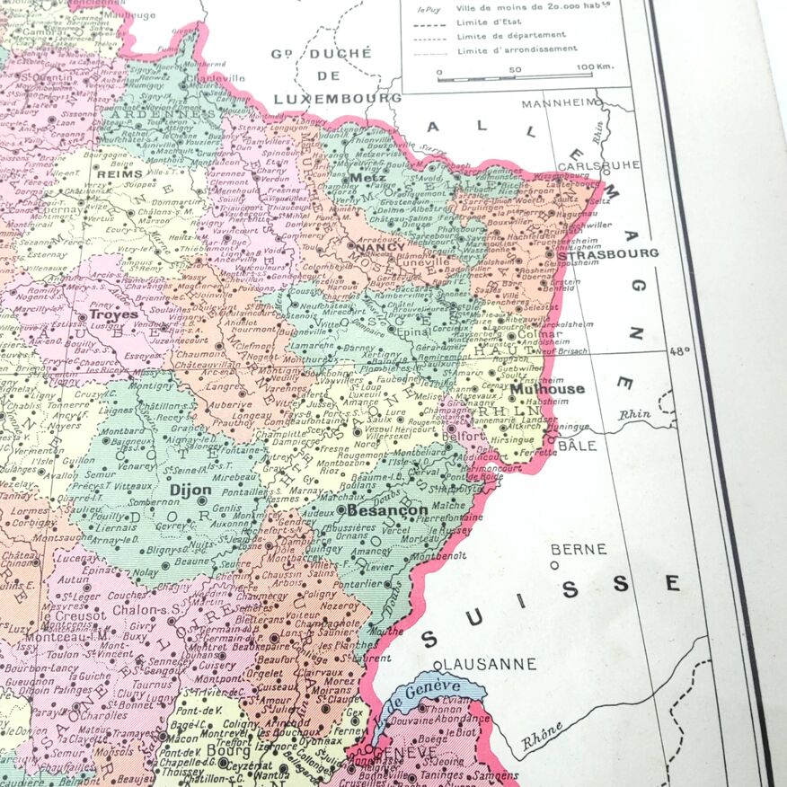

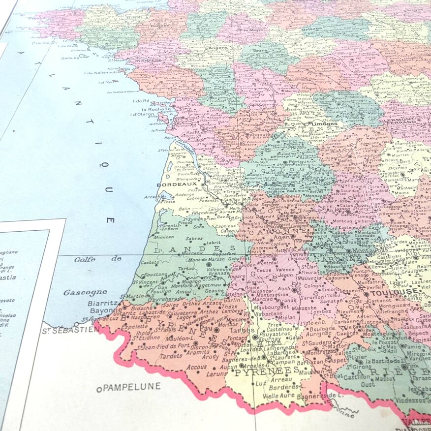
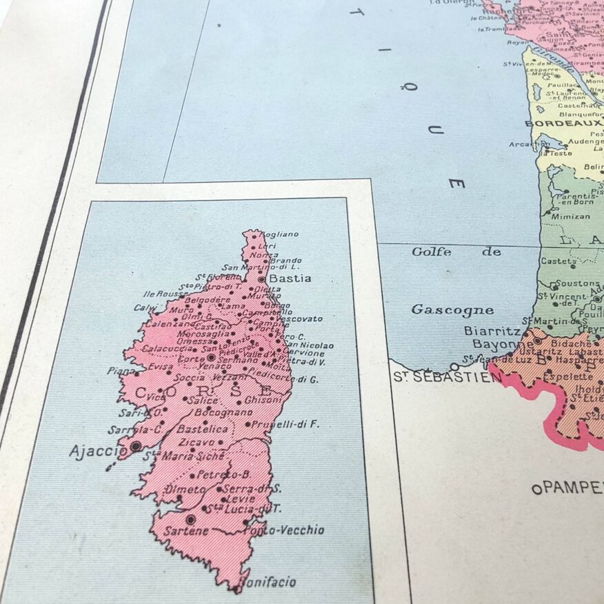
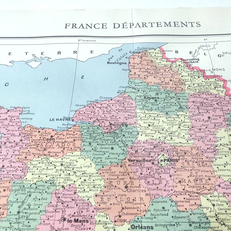

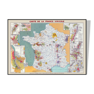
Old map of France and its departments in 1950 43x43cm
- Great deal
- H43 x W43
- paper
- multicolour
4.95 ()
Description
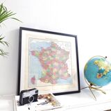
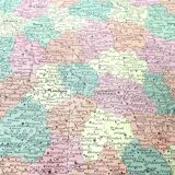
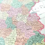
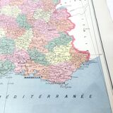
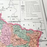
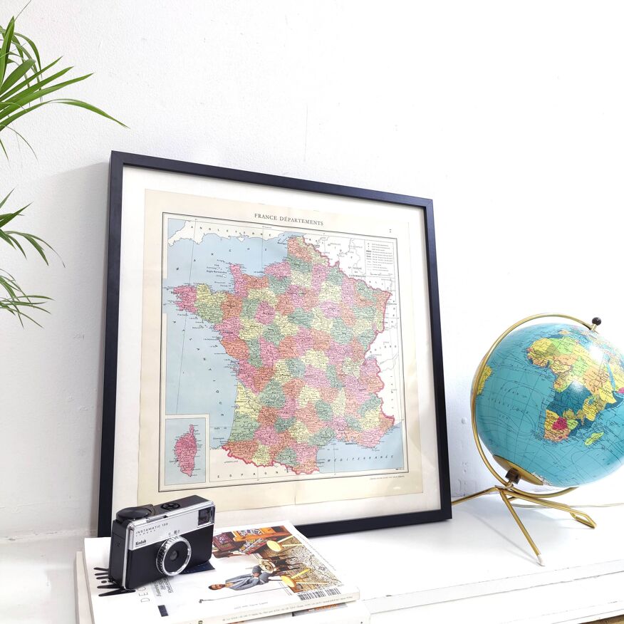
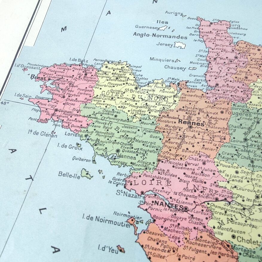
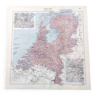
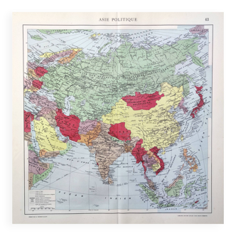
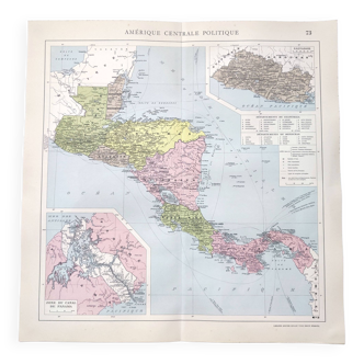
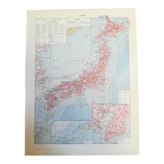
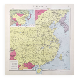
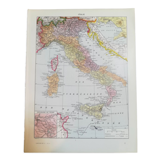
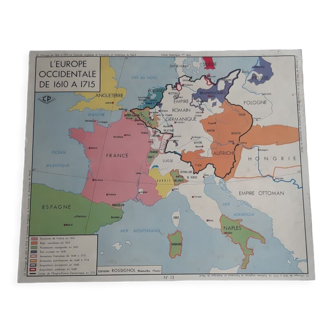
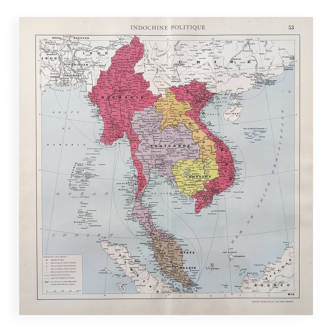
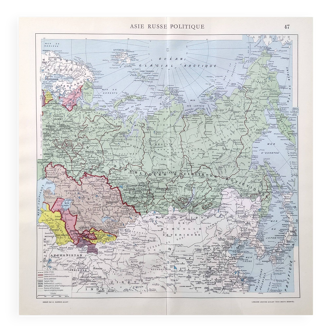
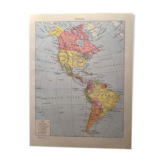
Pretty vintage geographic lithograph of france and its departments in color, authentic illustrated plate taken from an old atlas dating from the 1950s (sold without the frame). Historical cartography nicely detailed illustration. This card is an original and not a copy or soulless reproduction! Dimensions: height 43.5cm, length 43cm. The back is printed with photo documents dealing with the same subject as the front, in black and white. You can frame it (see photo of example of framing) it will join your wall of frames. The map is sold without a frame. Great gift idea for a travel enthusiast or perfect as a decoration in your vintage interior (entrance, living room, office, kitchen, bedroom, hallway, etc.) or for decorating a bar, restaurant, business. Thick paper card folded in half, the central fold is original and is barely visible. Very good general condition for this document, over 70 years old, with patina of time. Keywords: oldmaps maps geography cabinet of curiosities oldschool retro engraving poster poster commerce gift idea christmas birthday antique maps geography history deco flea market decor for guest house accommodation vacation rental countryside world planisphere explorers mountain landscape river architecture heritage sea islands atlantic ocean mediterranean channel paris brittany nantes bordeaux corsica havre lyon toulouse montpellier nice marseille lille rennes toulon reims angers brest avigonj grenoble amiens dijon caen besancon limoge nimes metz lille nancy.
Ref. : PU4VAG8Q
- Dimensions :
- H43 x W43
- Color :
- multicolour
- Material :
- paper
- Style :
- vintage
4.95 ()

Return your item within 14 days
Cherry-picked items
Carrefully selected sellers
100% secured payment