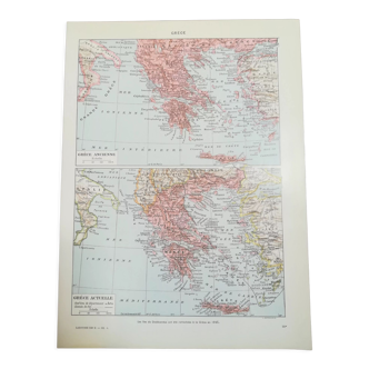
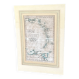
Watercolor map of the Antilles - Engraving from 1785
- Dimensions :
- H34 x W21
- Color :
- white
- Material :
- paper
- Style :
- classic
Watercolor map of the West Indies - original engraving from 1785 - by the hydrographic engineer of the navy, m. Bonne. Delve into the fascinating history of the West Indies with this exceptional map, representing the Leeward Islands, including Martigny, Guadeloupe, and many others. Created by the hydrographic engineer of the navy, m. Bonne, this original engraving is a real treasure for lovers of old cartography and maritime history. Characteristics. Artist: m. Bonne, hydrographic engineer of the navy. Type: original engraving. Dimensions: sheet size: 41 X 26.5 cm. Engraving size: 34 X 21.5 cm. Areas represented: Leeward Islands, including Martinique and Guadeloupe. Condition: excellent, ideal for interior decoration.
5 ()