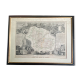

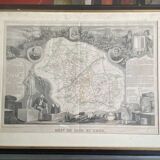
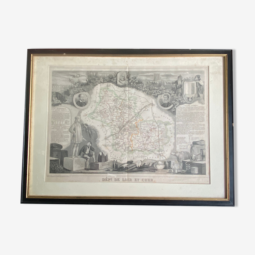
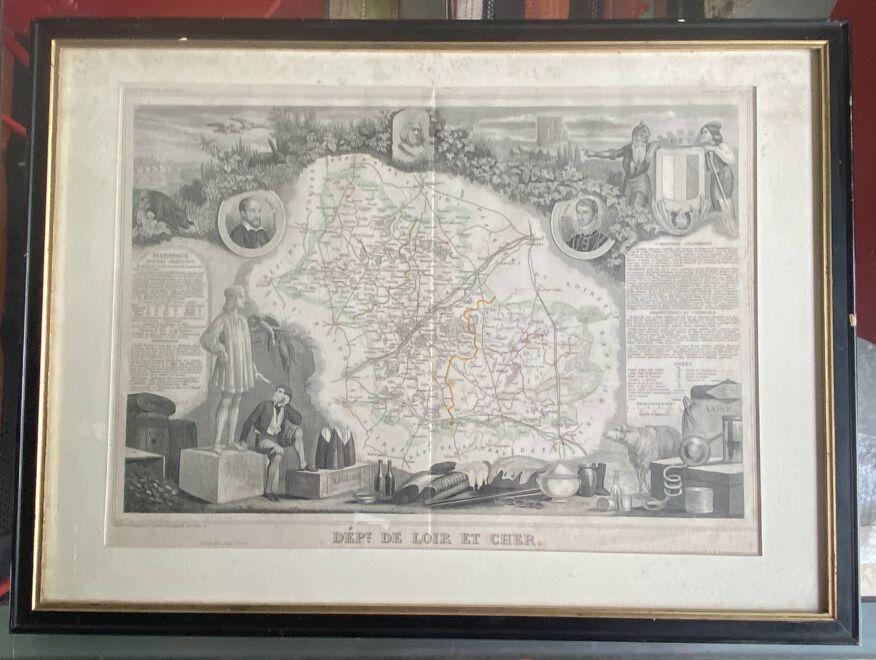
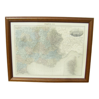
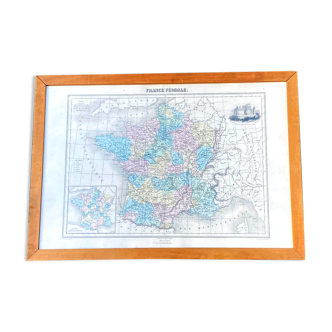
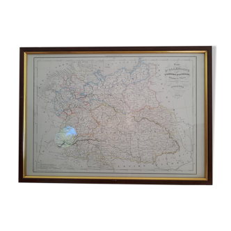
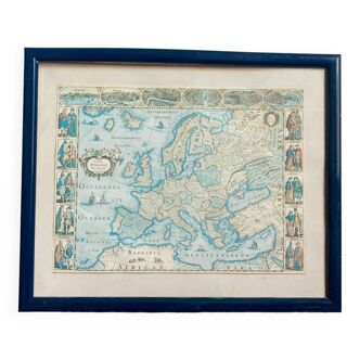
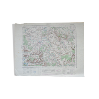
Framed antique engraving 19th geographical map of the Loir et Cher department
- H40 x W55 x D2
- paper
- white
5 ()
🙈 Oops, this product is already sold or unavailable. Discover our 1500 new products or products similar to this item !
Description
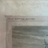
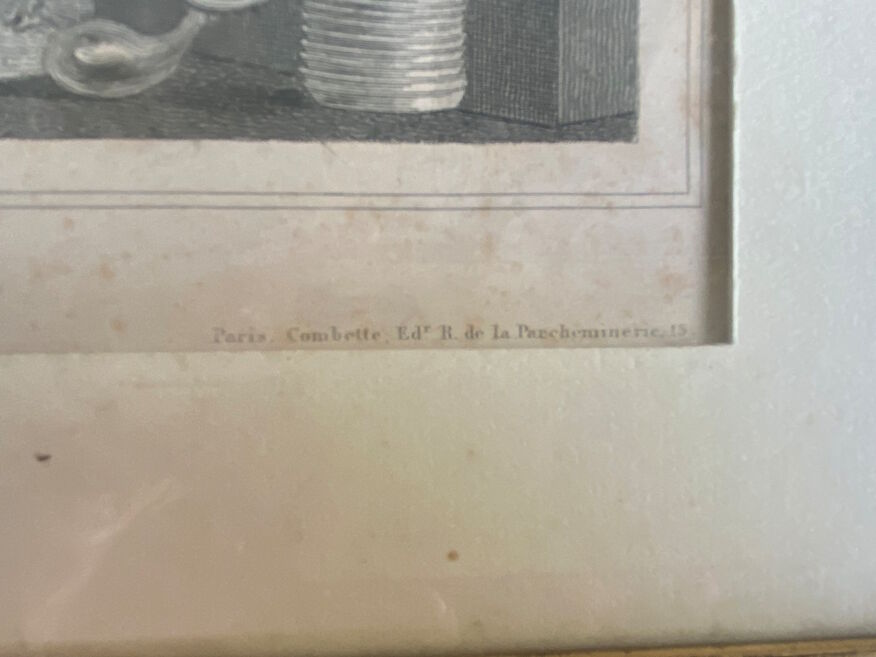
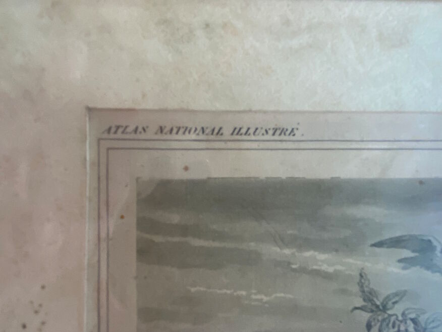
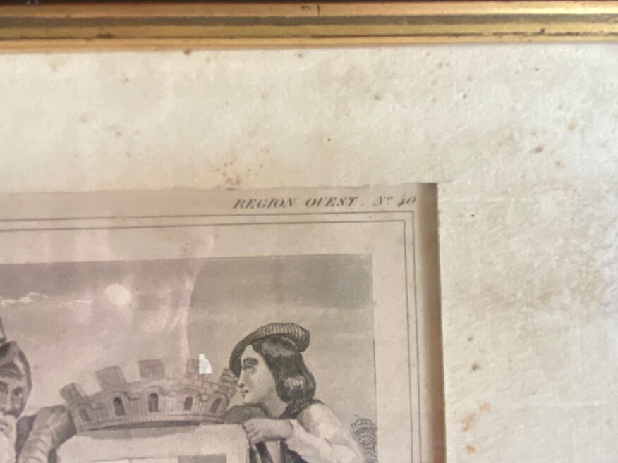
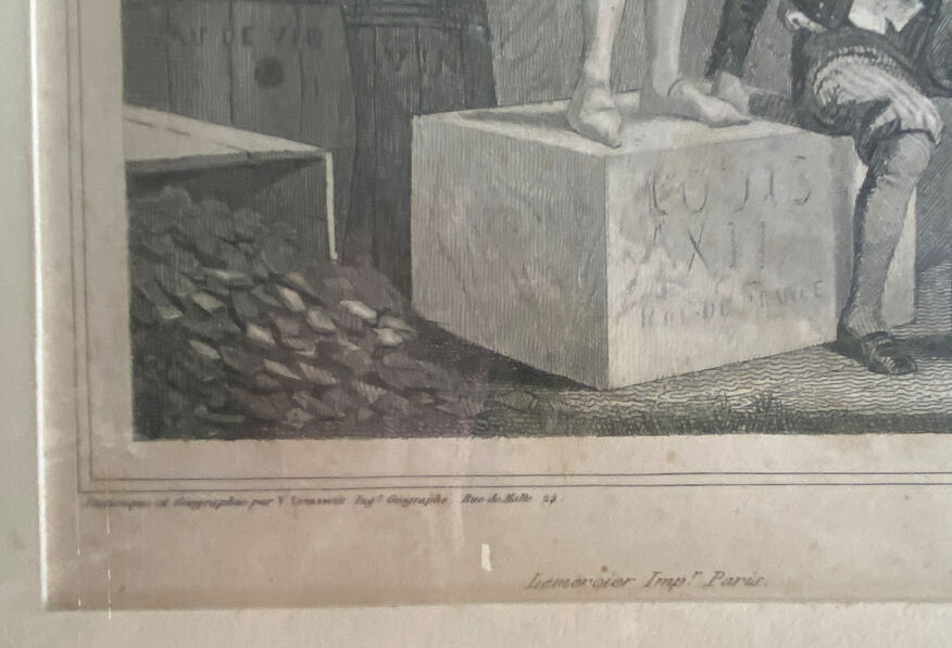
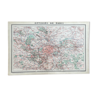
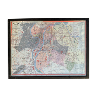
Old engraved geographical map (19th) of the department of loir and expensive, printed on strong paper and colored at the time. Original map engraved on steel, illustrated with a finely engraved frame decoration depicting the geography of this department (views of cities and landscapes, and portraits of famous characters), with cartouches giving the written description of: statistics, division, administration, communal districts, territory, curiosities, celebrities, productions and trade. In Paris at a. Combette, publisher, rue de la parcheminerie 15. Geography and statistics by levasseur, geographer engineer. Imprimerie lemercier, paris. Very large authentic colorized map included in the illustrated national atlas. Map n°40. The frame has wear marks, the engraving has been folded (see photos)
Ref. : HYR7BCJ9
- Dimensions :
- H40 x W55 x D2
- Color :
- white
- Material :
- paper
- Style :
- classic
Return your item within 14 days
Cherry-picked items
Carrefully selected sellers
100% secured payment