
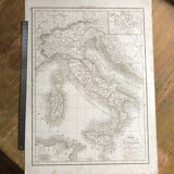

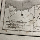

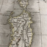
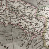
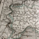
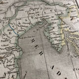
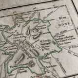
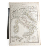
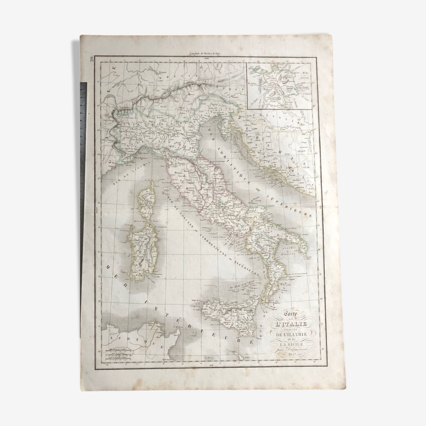
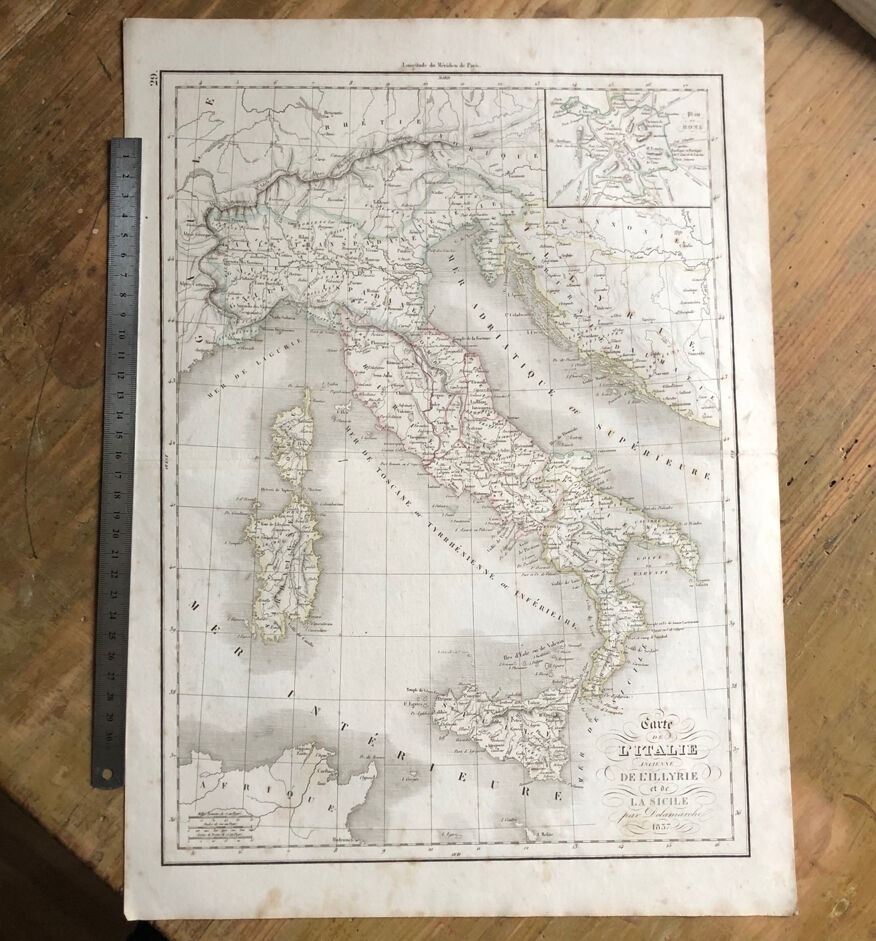
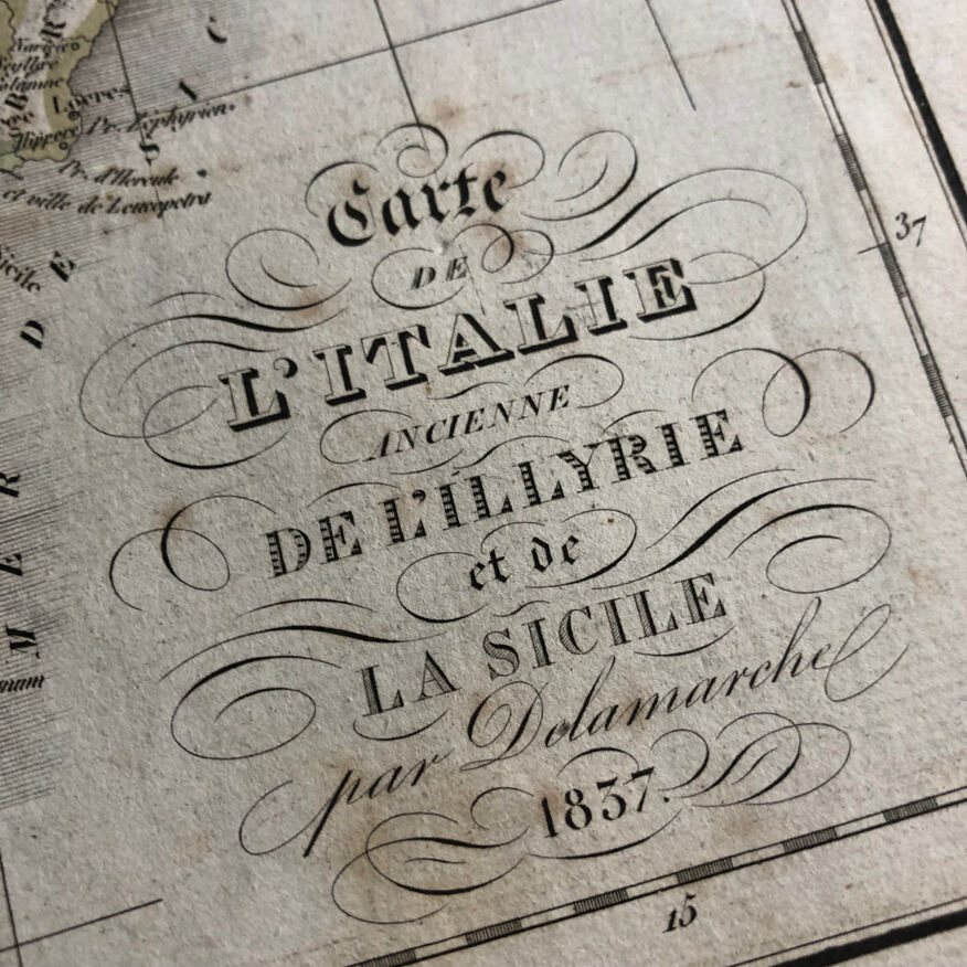
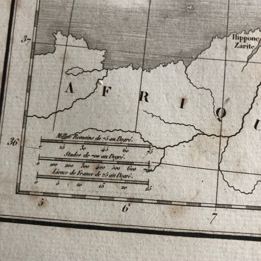
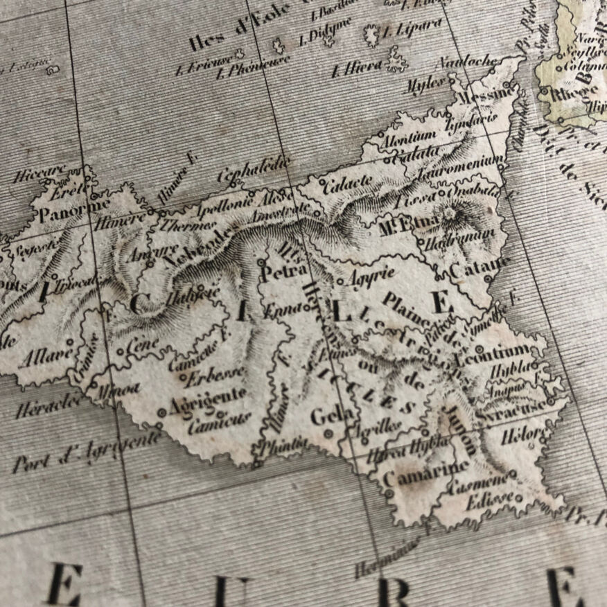
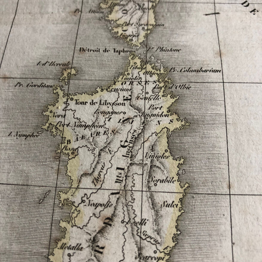
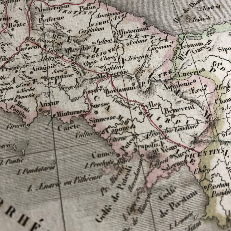
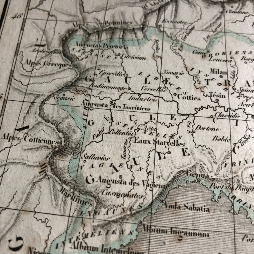
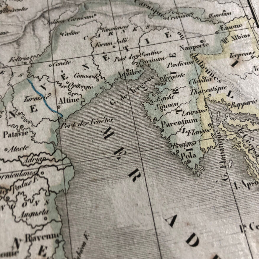
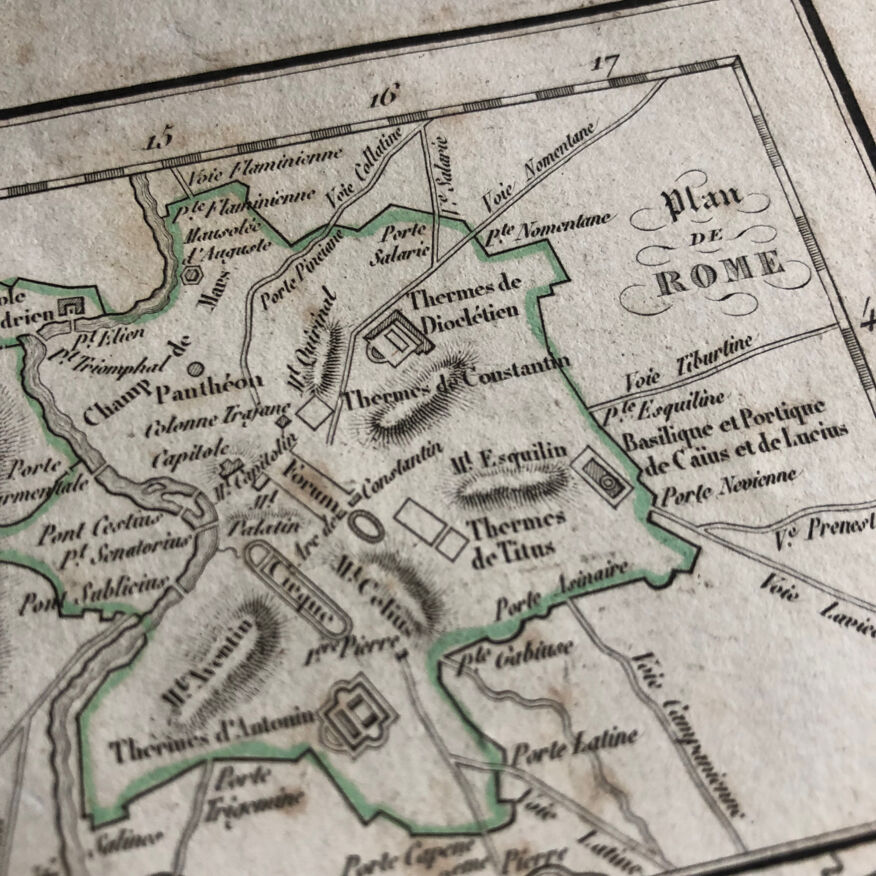
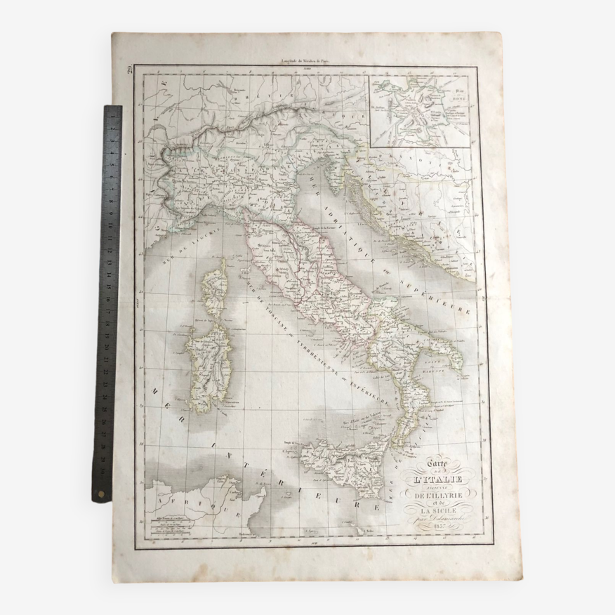
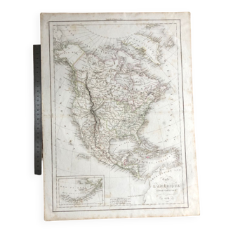
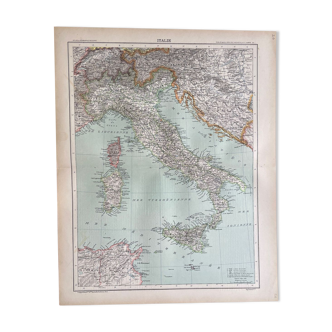
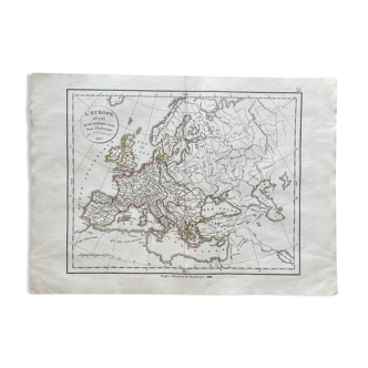
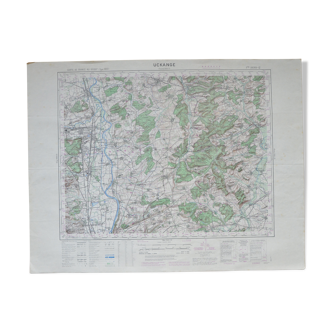
1837 - Map of ancient Italy from Illyria and Sicily
- H47 x W33
- paper
- multicolour
Description
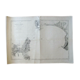
🌏 original antique historical geographical map engraving dating from the early nineteenth century (1837) 47x33cm. Roman italy with map of ancient rome. All proposed documents are originals. 📦 sent flat folded in half, the fold is original and is not very visible see photos (this type of document may be damaged if it is rolled) protected between several thicknesses of cardboard. No hand delivery except for consequent lot. Do not hesitate to contact me to make a batch to save on shipping costs: for maps and lithographs you only pay one shipment. Possible discounts on lots.
Ref. : FEX3ASEJ
- Dimensions :
- H47 x W33
- Color :
- multicolour
- Material :
- paper
- Style :
- vintage
Return your item within 14 days
Cherry-picked items
Carrefully selected sellers
100% secured payment