
Longuyon vintage map
- H56 x W73
- paper
- multicolour
4.93 ()
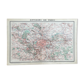
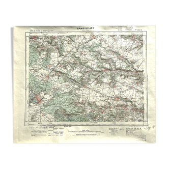
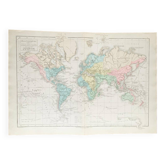
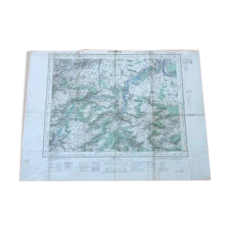
Description
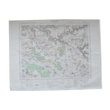
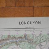
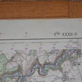
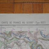
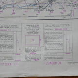
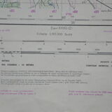
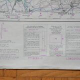
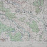
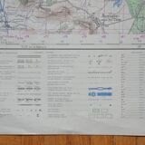
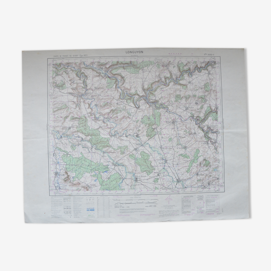
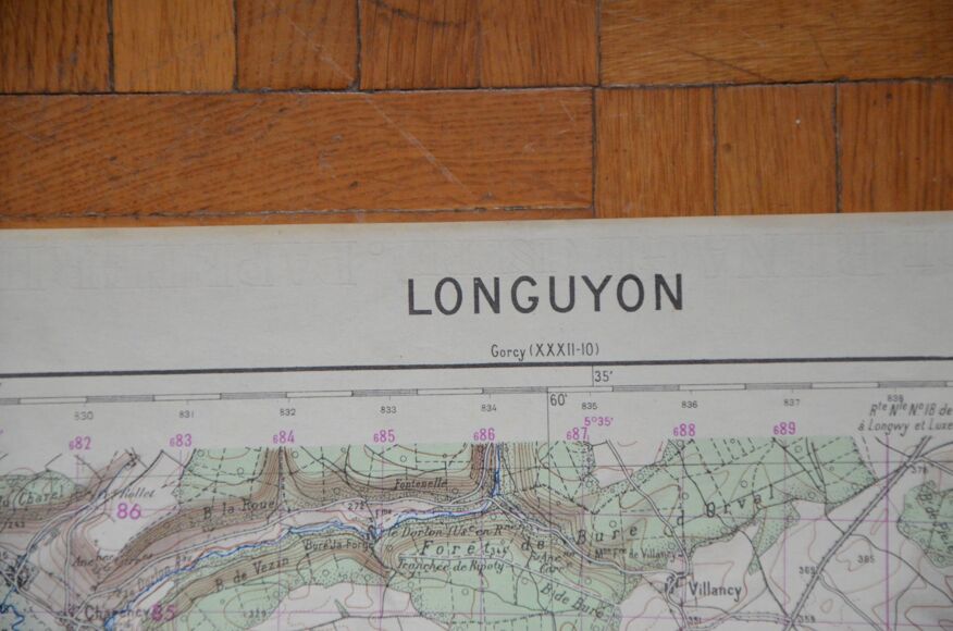
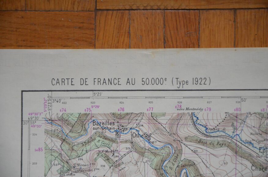
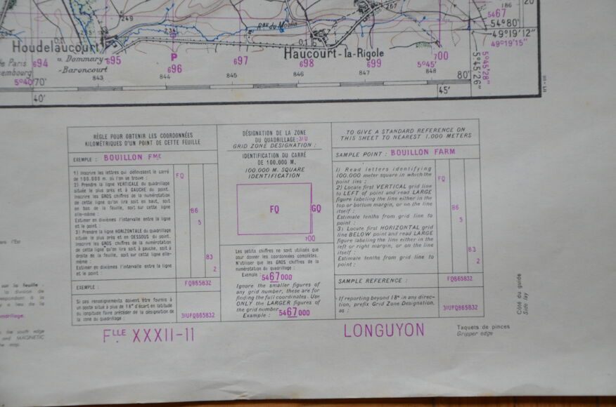
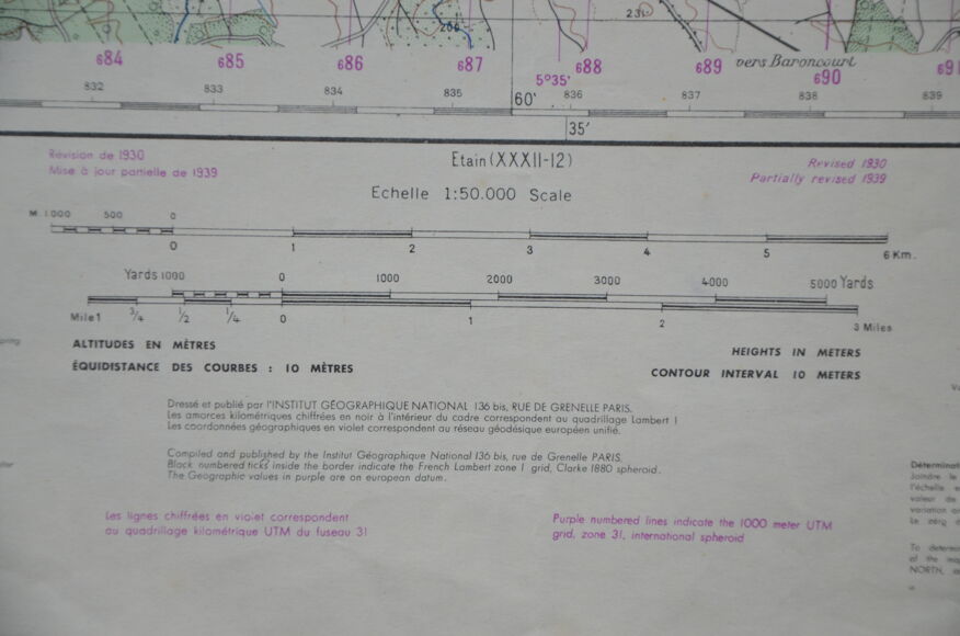
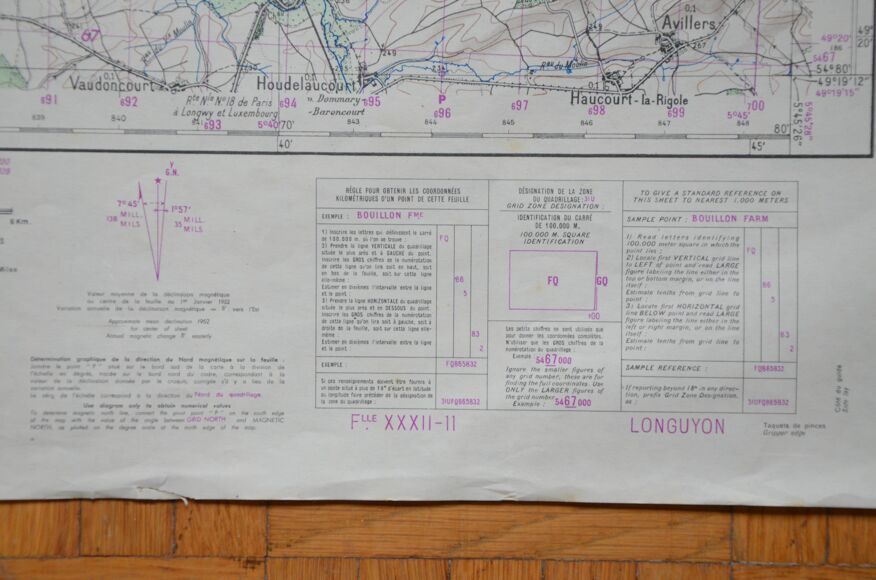
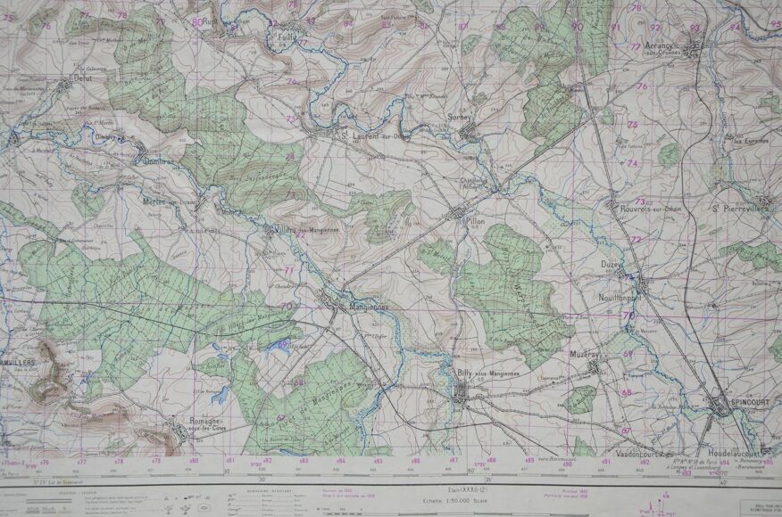
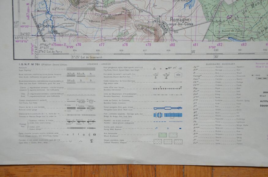
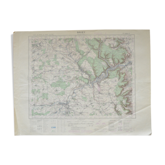
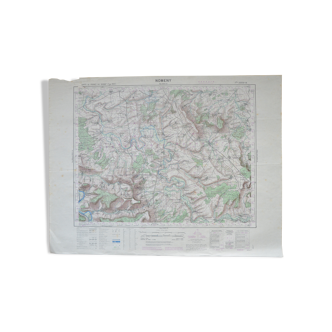
Map of Longuyon. 1930 revision. Partial update of 1939. France 50,000 (type 1922). Printed probably after 1952 (inscription: average value of the magnetic declination in the center of the sheet on January 1, 1952). The map is 73 cm wide and 56 cm high. I picked up this card (and the twenty others!) from a gentleman who worked at the SNCF. Originally I wanted to frame the cards but the price would have been higher and sending would have been complicated. You can choose the frame you want! Colors may differ between the screen and reality. -----------------------------------------------------------------------------------------------------I live abroad but from July 7, 2023 to September 30, 2023 I will be in France. Take the opportunity to order! ---------------------------------------------------------------------------------------------------- if you want to buy several items at the same time, let me know: I recalculate the shipping costs and refund the overpayment. ----------------------------------------------------------------------------------------------------- all items are carefully packaged. The packaging I use is recycled, which avoids waste and reduces costs. Always with a view to preserving our planet, I only mail packages once a week. If the order is urgent, please contact me!
Ref. : 3hUgNpu
- Dimensions :
- H56 x W73
- Color :
- multicolour
- Material :
- paper
- Style :
- vintage
4.93 ()
Return your item within 14 days
Cherry-picked items
Carrefully selected sellers
100% secured payment