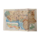
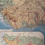
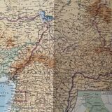


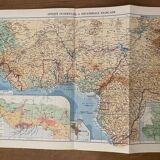
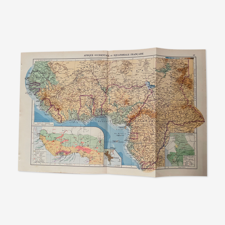

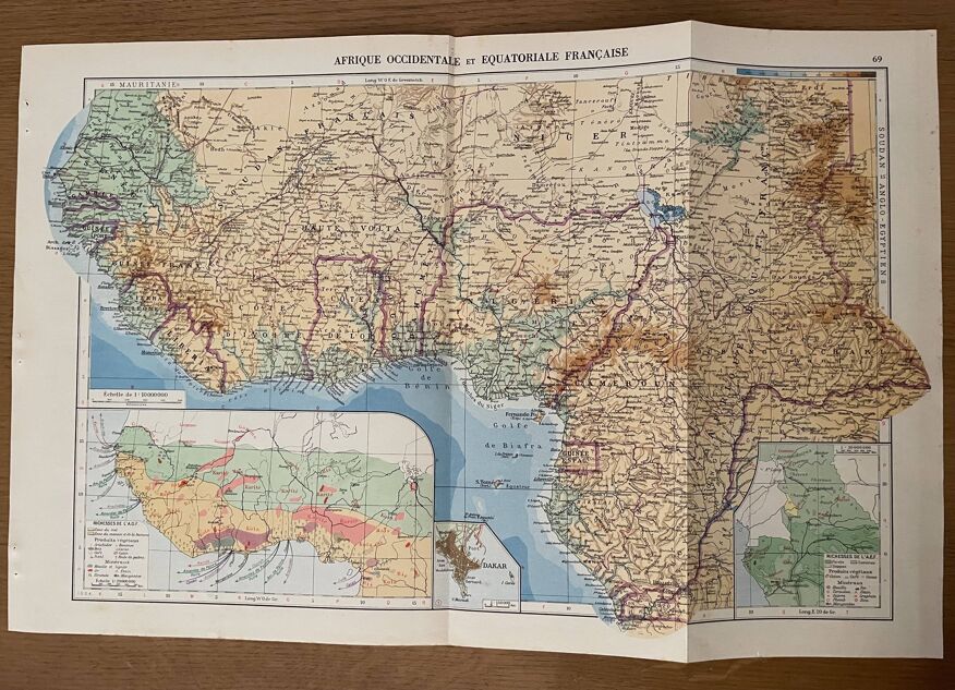
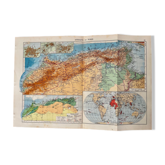
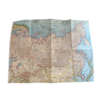
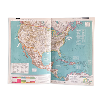
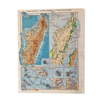
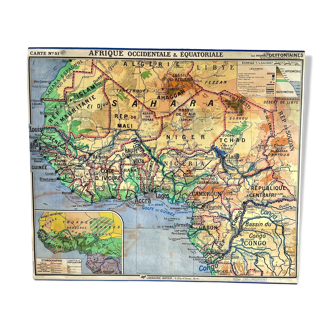
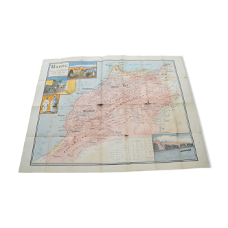
Old map of French West and Equatorial Africa - 1940
- paper
- multicolour
4.95 ()
Description
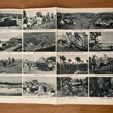
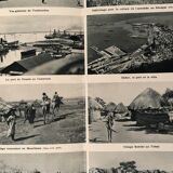
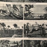
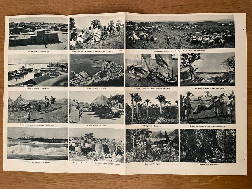
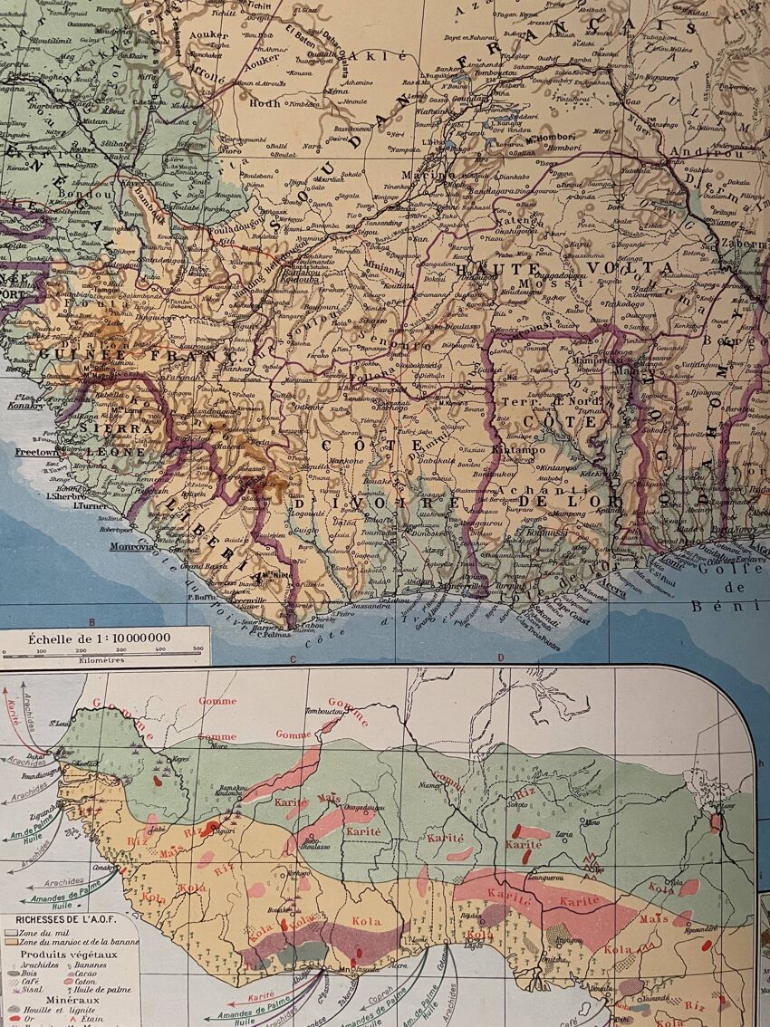
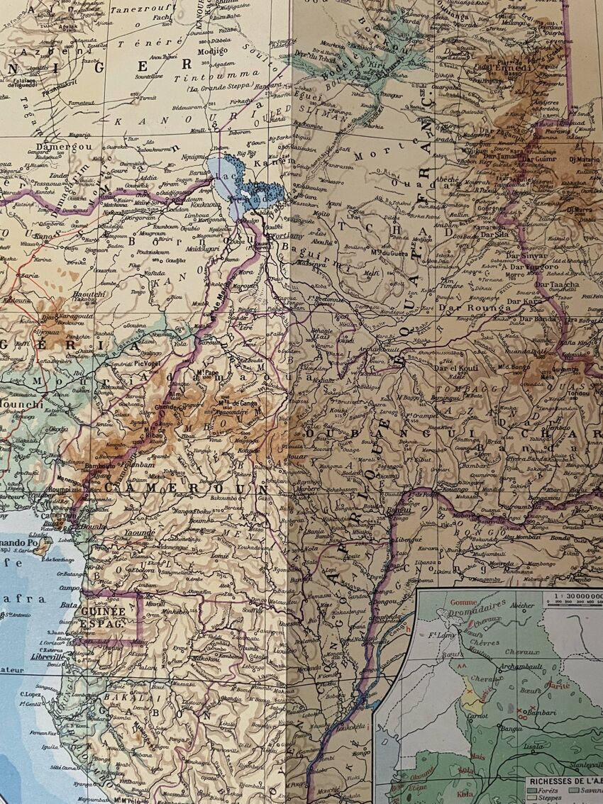
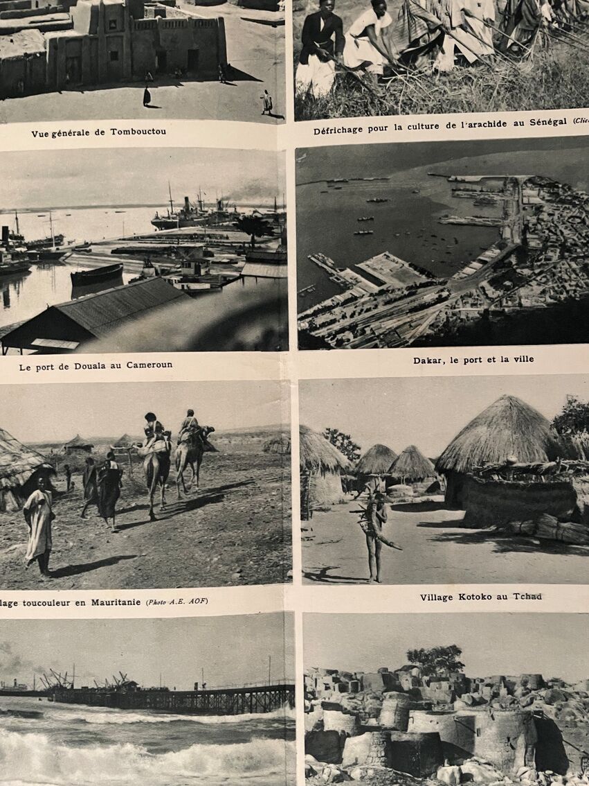
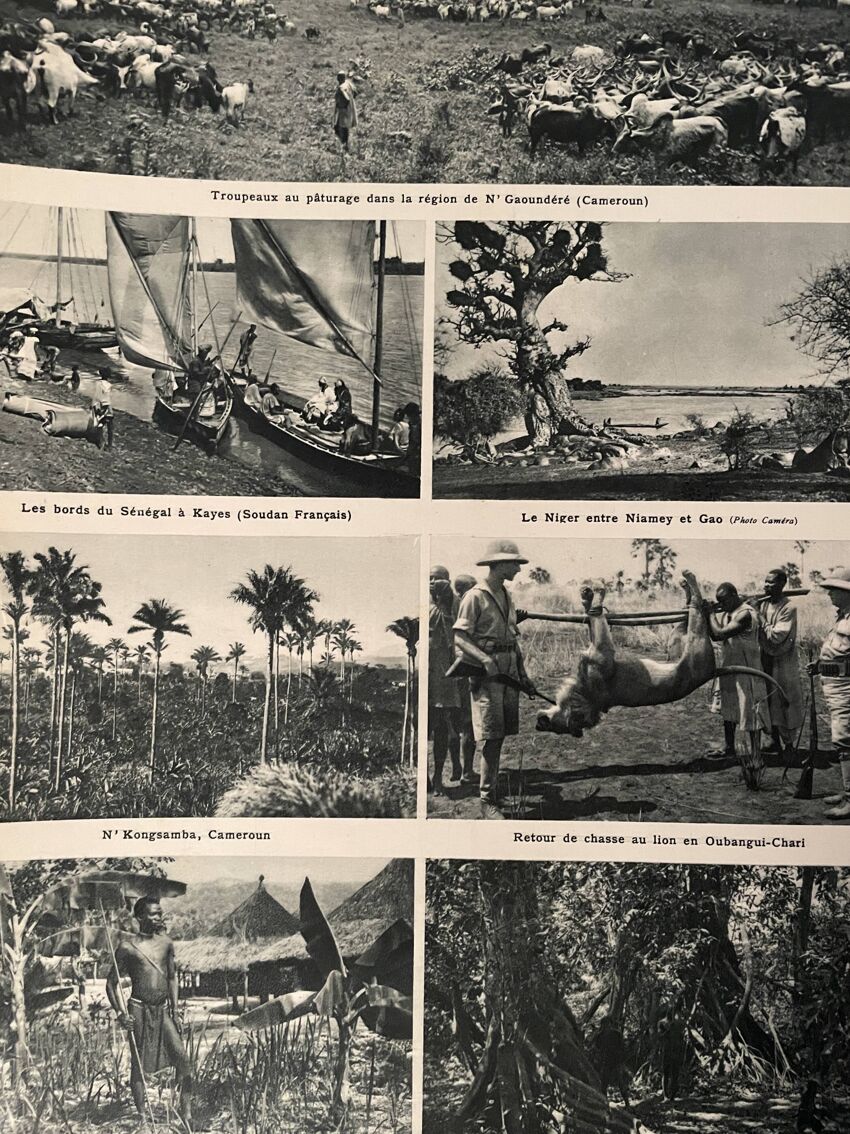
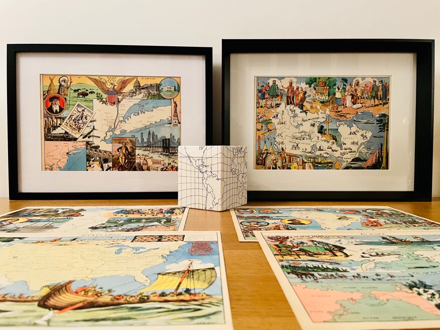
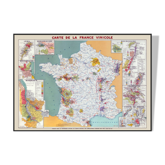
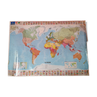
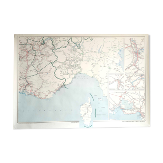
Old poster map of french west and equatorial africa (original), extracted from an old atlas. 💎 all lithographs and maps in this account are originals and not copies. Illustrated on the front and back (photographic plate of landscapes and emblematic cities of the country) Other maps (especially illustrated) on north and north africa. Date: publication of the book in the 40s. Dimensions: 49.5 X 33 cm. To be framed. Decoration, decoration, vintage, gift idea and country house. World travel cartography planisphere economy sea country mountain film and film scenery geography guest house souk morocco algeria tunisia fez algiers orange kabylie dunes sahara palm grove cedars sousse oasis marrakech kairouan wine vineyard travel agency tourist office.
Ref. : C84TPKHC
- Color :
- multicolour
- Material :
- paper
- Style :
- vintage
4.95 ()
Return your item within 14 days
Cherry-picked items
Carrefully selected sellers
100% secured payment