Sold out


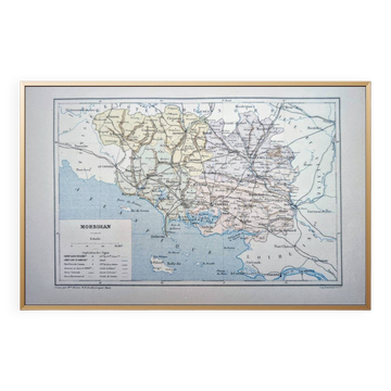
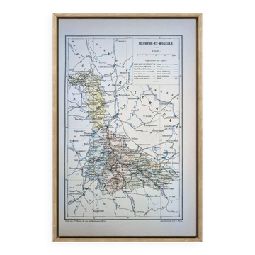
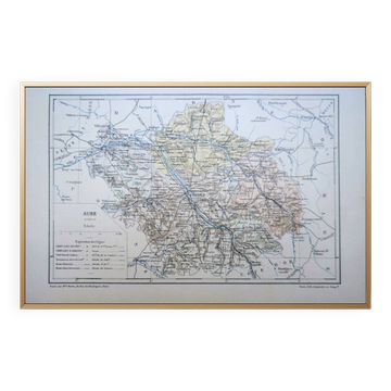
Engraving map of Eure-et-Loir region Centre-Val de Loire wooden frame old map of Chartres
This item has found its owner, but other one-of-a-kind items await you. 👇
Discover similar items- Dimensions :
- H39 x W29 x D29
- Color :
- multicolour
- Material :
- paper
- Style :
- vintage
Pretty old engraving map of eure-et-loir, in the centre-val de loire region. Zoom on the old map of chartres. Map drawn up under the direction of malte-brun by geographer ah dufour (1884). Burgundy-colored wooden frame, under glass. Length 39cm height 29cm. Beautiful condition, traces of time.
Earth globes & geographical maps: other similar vintage pieces
Discover more similar items- -14%
- -9%
- -11%
Item 1 of 20