Page 1 of 11
Historical school geographic map of France and Europe
€150
🎁 30€ off on your first order with the code SELENCY30.
Learn more
Enjoy €30 off with a minimum order value of €300 (delivery cost excluded).
Historical school geographic map of France and Europe
€150
- Dimensions :
- H112 x W98 x D1
- Color :
- blue
- Material :
- plastic
- Style :
- vintage
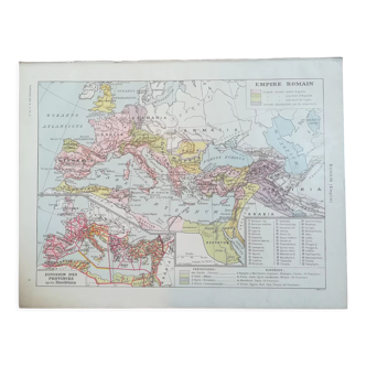
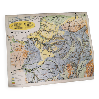
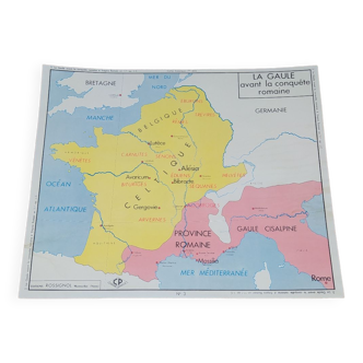
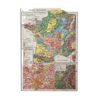
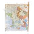
Vintage geographic school map. On one side it has the historical map of france we see the royal domain of hugues capet, the enlargement of louis vii, philippe le bel on the other side historical map of europe. You can see the boundaries of the egyptian empire, the roman empire, the empire of charlemagne and the barbarian empire. It is from pedago editions and stands out a little in the corners. There is a wooden bar on one side which measures 135cm height: 112cm width: 98cm.