Page 1 of 12
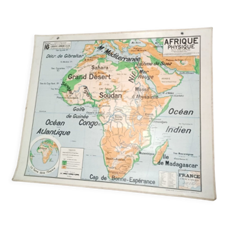
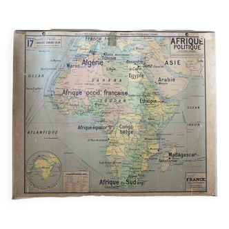
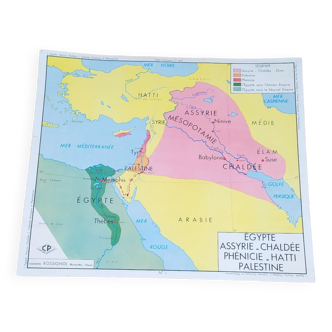
School map Palestine Jerusalem 1950
€125
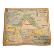
School map Palestine Jerusalem 1950
€125
- Dimensions :
- H100 x W120 x D2
- Color :
- multicolour
- Material :
- paper
- Style :
- vintage
Old school map from the 1950s: map of the Orient for the study of the history of the Hebrew people and on the other side Palestine at the time of Jesus Christ. Height 100cm and length 120cm Note a tear on the top half and some old humidity stains. It is not new! Vintage product. Delivery only by carrier or cocolis.
🇫🇷
Franck E.
Pro ambassador
This seller has earned our full trust with their record of flawless sales. Just read their customer reviews! A gem.
1568 sales
4.77