


Page 1 of 14
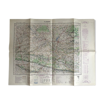
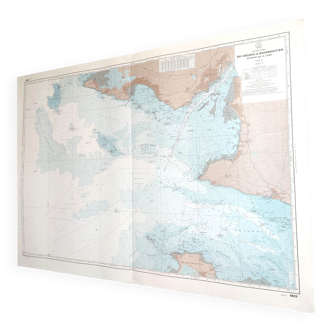
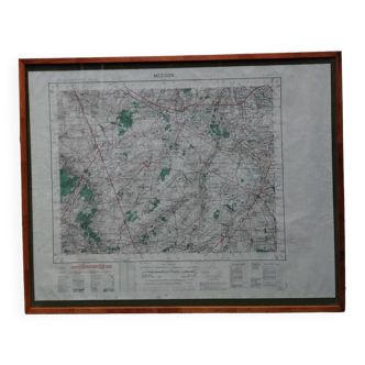
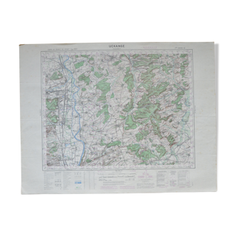
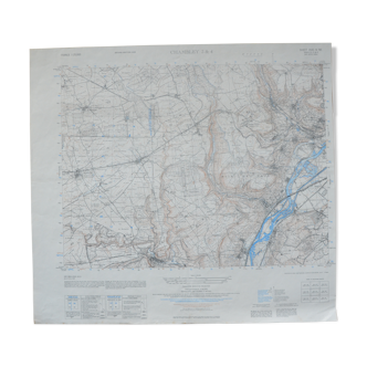
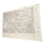
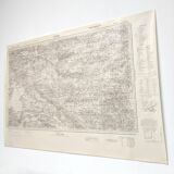
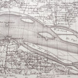
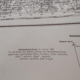
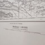
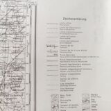
Old map St Nazaire Loire estuary 1940
€70
🎁 30€ off on your first order with the code SELENCY30.
Learn more
Enjoy €30 off with a minimum order value of €300 (delivery cost excluded).

Old map St Nazaire Loire estuary 1940
€70
- Dimensions :
- H67 x W95 x D1
- Color :
- beige
- Material :
- paper
- Style :
- vintage
Large vintage map dated 1940 established just before the war and the reconstruction of st nazaire. From the loire estuary, its islands to nantes and the river erdre. Length 95cm, height 67cm. Rolled-up paper map.
🇫🇷
Alan P.
Super Pro
Sellers like this? We'd like to have thousands of them! This seller has fulfilled all of their clients' expectations. Will you be up next?
1140 sales
4.98 ()