Sold out


Page 1 of 8
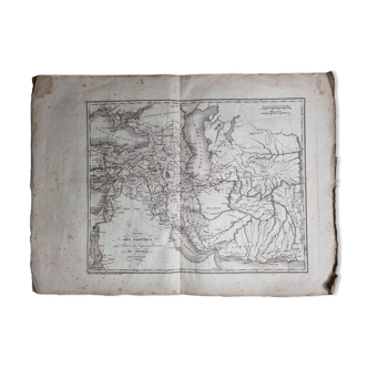
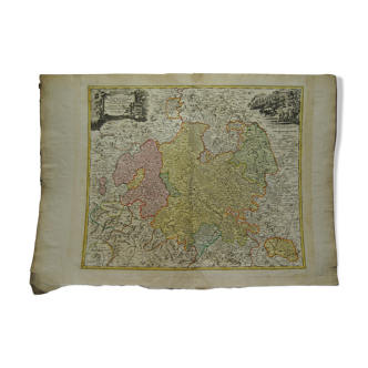
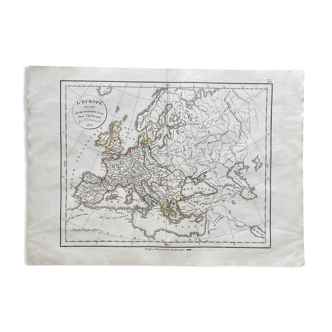
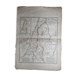
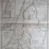
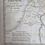
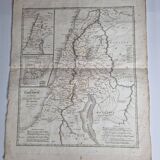
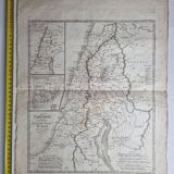
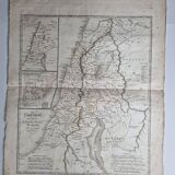
Old map of Palestine from the Atlas of the History of the Emperors of 1819, 48 x 34 cm
€38 €52
🙈 Oops, this product is already sold or unavailable. Discover our 1500 new products or products similar to this item !
- Dimensions :
- H48 x W34
- Color :
- white
- Material :
- paper
- Style :
- classic
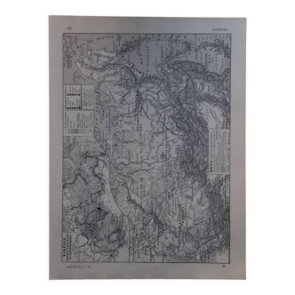
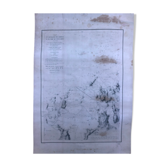
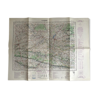
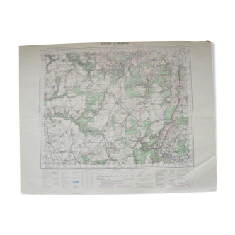
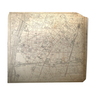
Old map of palestine (nineteenth century), original engraving extracted from the atlas of the history of the emperors of 1819 according to the history of the roman emperors of crevier by d'anville, ordinary geographer of the king. The map measures 48 cm high by 34 cm wide margins included, with age-related traces, freckles and traces of wear on the edges. In good condition otherwise. See detailed photos. Note. The dead sea, judea, samaria, galilee are mentioned.
Daniel G.
Pro ambassador
This seller has earned our full trust with their record of flawless sales. Just read their customer reviews! A gem.
1416 sales
4.94 ()