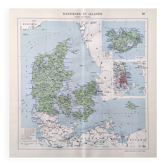
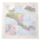
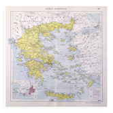
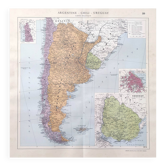
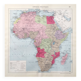
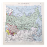
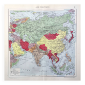
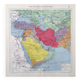
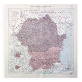
Old map of Great Britain and Ireland 43x43cm from 1950

- Dimensions :
- H43 x W43 x D0.1
- Color :
- printed
- Material :
- paper
- Style :
- vintage
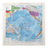
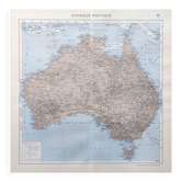
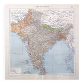
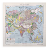
Beautiful vintage lithograph poster of the British Isles, an authentic illustrated plate taken from an old atlas dating from the 1950s (sold without framing). Historically detailed cartographic illustration. This map is an original and not a copy or soulless reproduction! Dimensions: height 43.5cm, length 43cm. The reverse is printed with photo documents related to the same subject as the front, in black and white. You can frame it (see example framing photo) and it will complement your wall of frames. The map is sold without a frame. A lovely gift idea for a travel enthusiast or perfect for decoration in your vintage interior (entrance, living room, office, kitchen, bedroom, hallway…) or for decorating a bar, restaurant, or business. Map on thick paper folded in two, the central fold is original and is barely visible. Very good overall condition for this document over 70 years old, with the patina of time. Keywords: old maps, cards, geography, curiosity cabinet, old school, retro, engraving, poster, commerce, gift idea, Christmas, birthday, antique maps, geography, history, decor, flea market, decor for guest houses, holiday rentals, countryside, world, world map, explorers, mountain, Europe, ski resort, hiking, landscape, river, France, Europe, architecture, city plan, urban planning, Ireland, estuary, Thames, Pas de Calais, English Channel, Atlantic Ocean, archipelago, United Kingdom, English, Celts, England, Wales, Scotland, Jersey, Normandy, London.
Earth globes & geographical maps: other similar vintage pieces
Discover more similar items- -11%
- -11%
- -14%
- -17%
- -14%
- -20%
- -14%
- -14%
- -11%
- -11%
- -22%
- -11%
- -14%
- -11%
- -11%