Sold out


Page 1 of 5
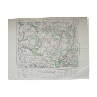
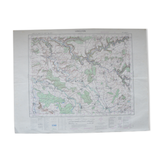
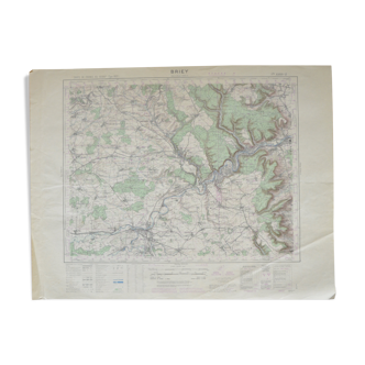
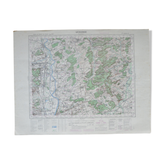
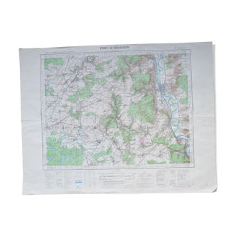
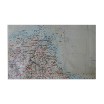
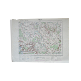
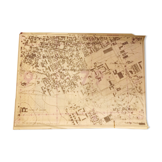
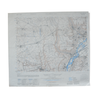
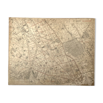
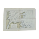
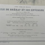
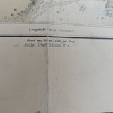
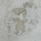
Ancient marine map of the island of Brehat and its surroundings
€45
🙈 Oops, this product is already sold or unavailable. Discover our 1500 new products or products similar to this item !
- Color :
- multicolour
- Material :
- paper
- Style :
- classic
Beautiful hydrographic map of the old navy lifted in 1837/38 (july 1949 edition no. 4). Mapping the island of brehat and its surroundings. Scale: 1/14400. Dimensions: 106 cm X 75 cm. That's a good state.