


Item 1 of 13
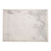
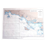
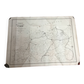
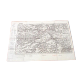
Navy chart no. 150 “from ile d’yeu to pointe de chassiron”
€25

Navy chart no. 150 “from ile d’yeu to pointe de chassiron”
€25
- Dimensions :
- H74 x W105 x D1
- Color :
- printed
- Material :
- paper
- Style :
- vintage
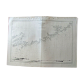
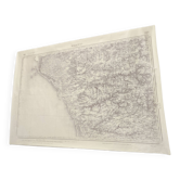
Map of the navy according to the surveys of 1818-1819, from the hydrographic service of the navy. It is printed at 1: 124, 180 scale on heavy stock paper and has been used, has some stains but no creases. A correction by gluing is visible in the last photo. Now it is stored rolled and is in good overall condition. 105 X 74 cm. Other cards are on sale, do not hesitate to ask for a quote in the event of multiple purchases for delivery costs rolled in a tube.
Earth globes & geographical maps: other similar vintage pieces
Discover more similar items- -50%
- Sold out
- -43%
- -46%
- -37%
- -57%
- -11%
- -48%






Item 1 of 20