
Old physical and mineralogical map of France - 1836
- H39 x W55
- paper
- white
Enter the delivery postal code to see the available options
- You will be able to select your delivery option during payment
Description
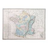
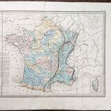
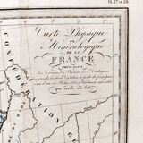
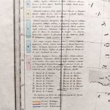
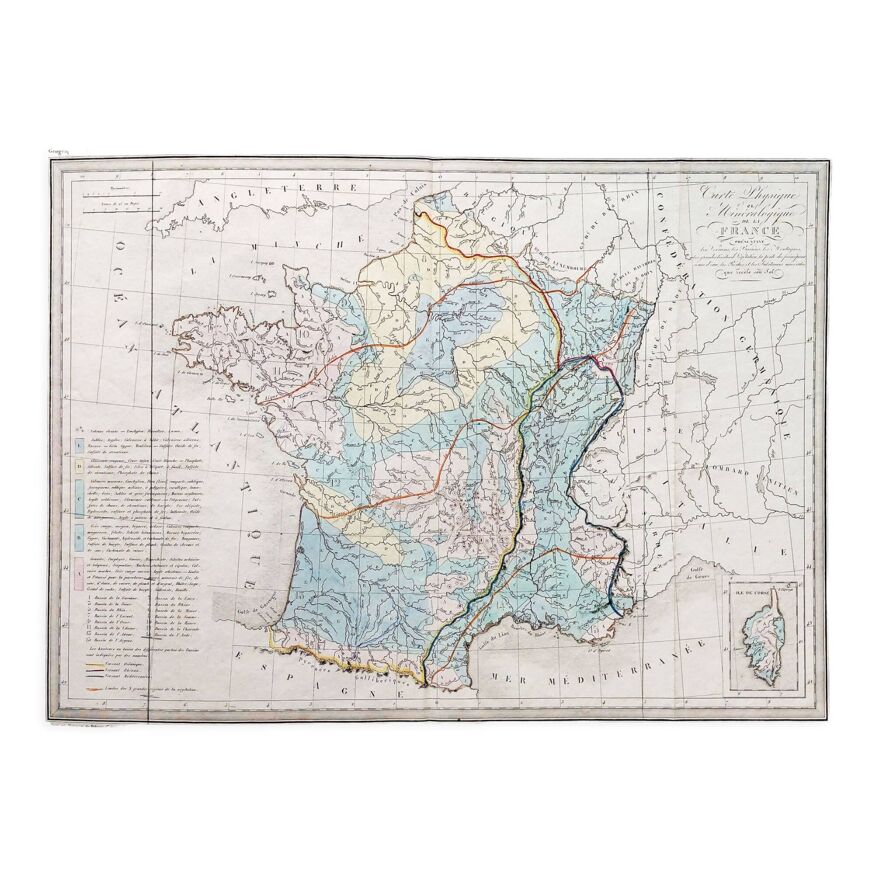
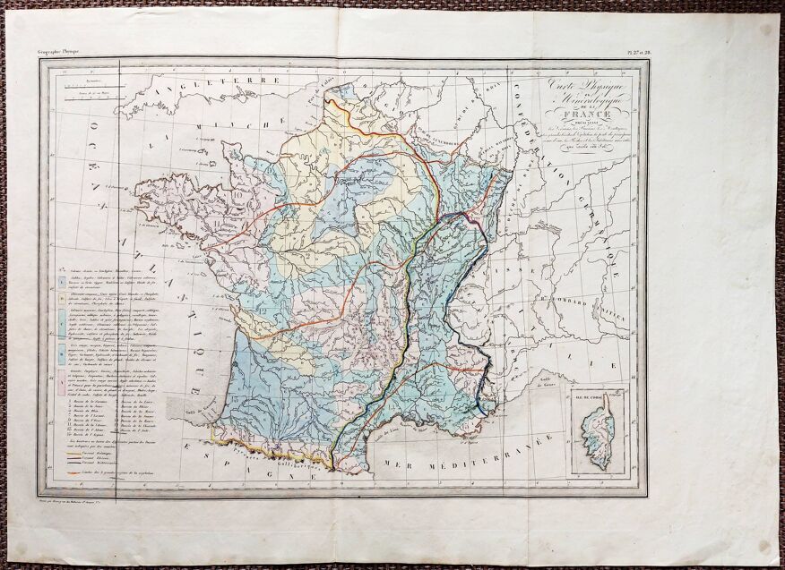
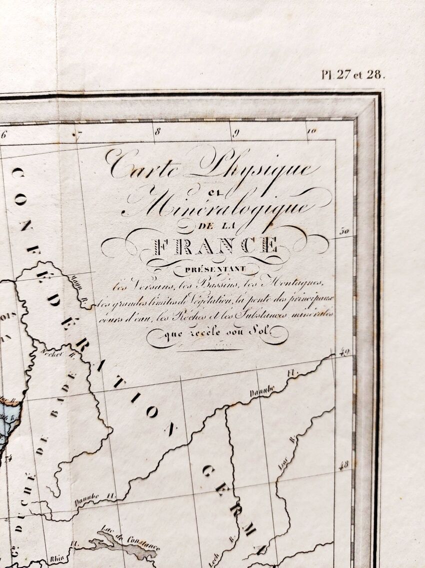
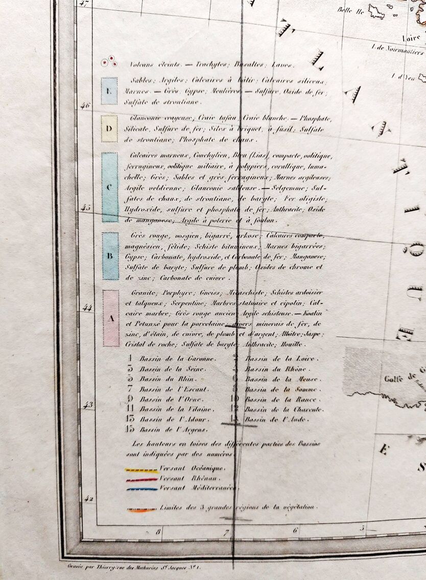
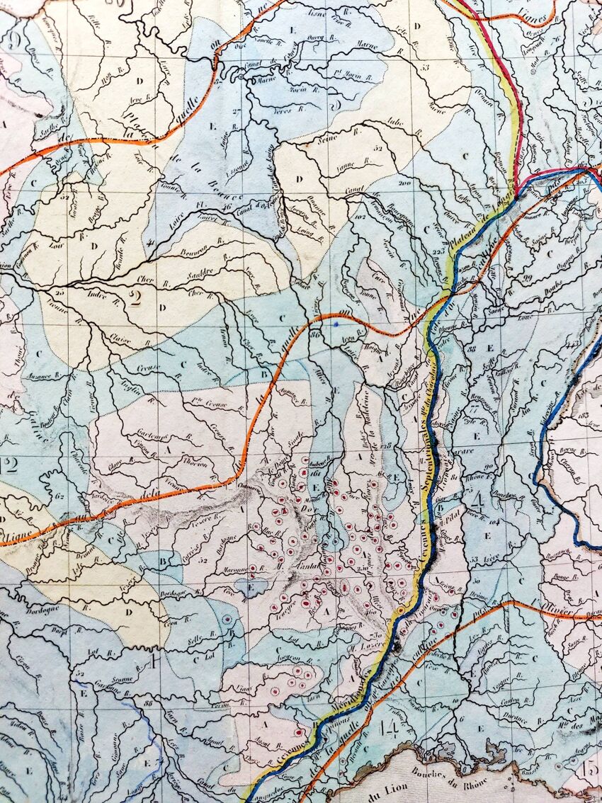
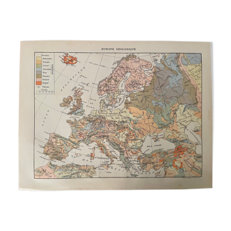
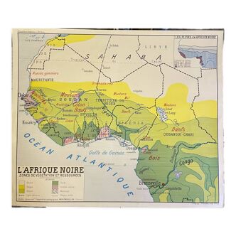
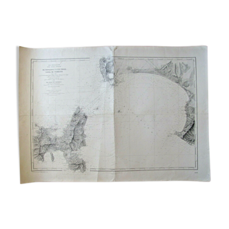
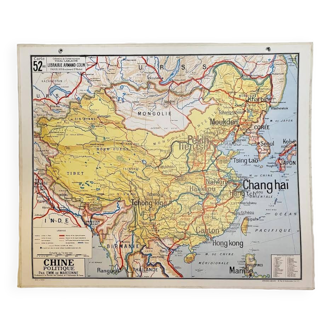
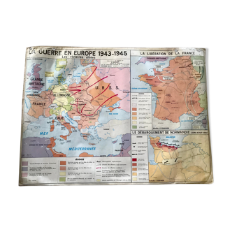
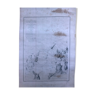
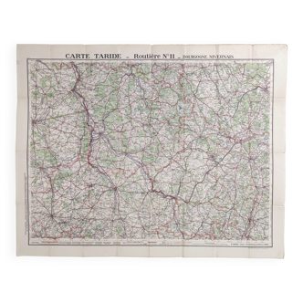
Old map 1836. Hand-colored engraving. Physical and mineralogical map of the france, presenting the slopes, basins, mountains, the great limits of vegetation, the slope of the main rivers, the rocks and the mineral substances concealed "sousol", from the "complete atlas of the precise of universal geography" by m. Malte-brun in 1836. Engraved by thierry rue des mathurins saint jacques n°1. Paper dimensions: 54.5x39 cm. Dimensions engraving: 43.5x32 cm. Good general condition for age. Some stains - normal tarnishing of the paper - three original folds. Look at the photos to realize the defects.
Ref. : SJSJ14S3
- Dimensions :
- H39 x W55
- Color :
- white
- Material :
- paper
- Style :
- classic
Return your item within 14 days
Cherry-picked items
Carrefully selected sellers
100% secured payment