Page 1 of 4
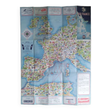
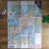
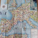
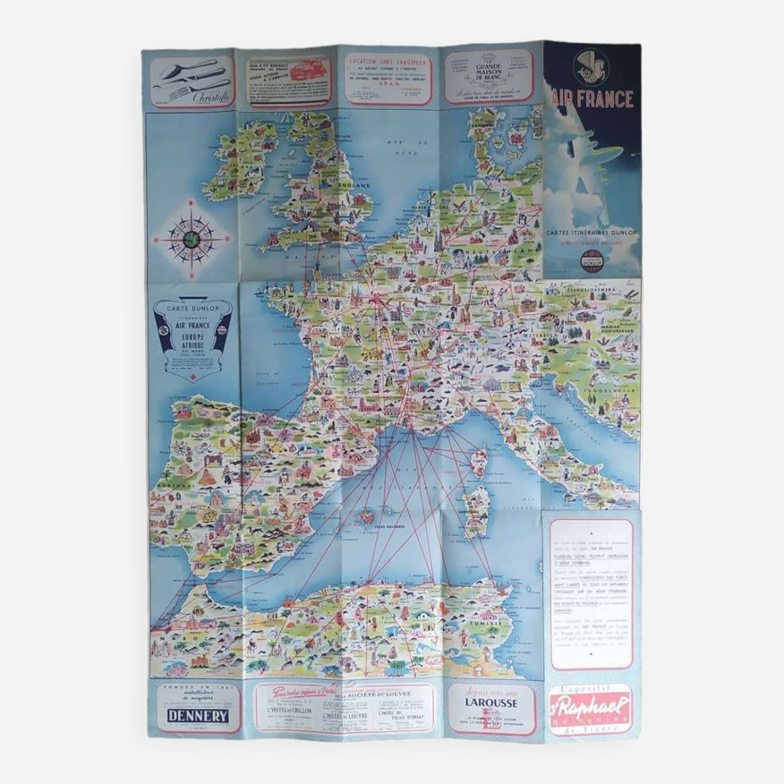
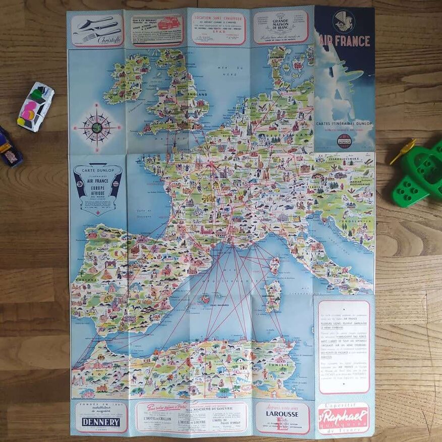
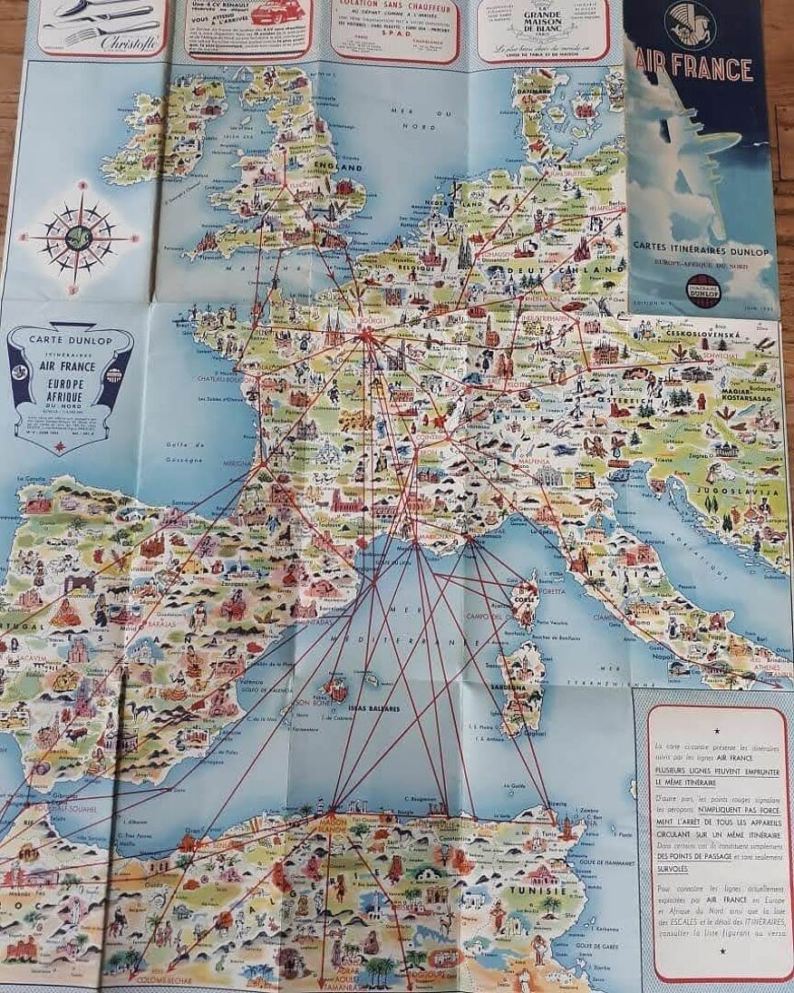
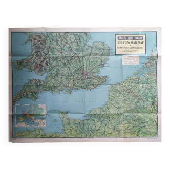
Map of Europe
€125
- H76 x W55
- paper
- multicolour
Mathieu A.
5 ()
Description
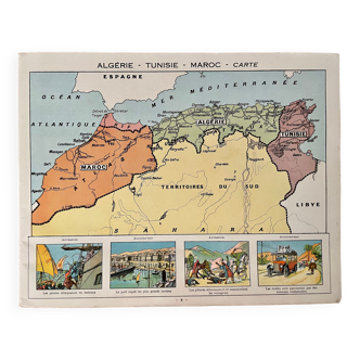
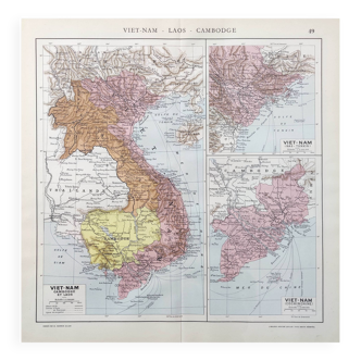
The pictorial map shows connecting routes from the british isles and western europe as far north as denmark to the mediterranean with north africa. Dimension: 55*76cm. Status: b+ Date: 1950.
Ref. : RWJPBDTU
- Dimensions :
- H76 x W55
- Color :
- multicolour
- Material :
- paper
- Style :
- vintage
Return your item within 14 days
Cherry-picked items
Carrefully selected sellers
100% secured payment