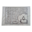
Antique engraving of the map of the southern part of Languedoc France from the
- Dimensions :
- H45 x W63
- Color :
- pink
- Material :
- paper
- Style :
- classic
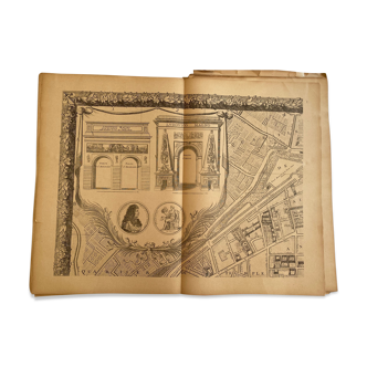
Antique engraving of the map of the southern part of languedoc france after the original from 1630. Engraving from the original book from 1647 "map of the new atlas or theater of the world, including the tables" with description of france, switzerland and the netherlands. By johannes jansson this historical piece represents in great detail the geography of languedoc in the 17th century, with exquisite cartography and fine engravings that reflect the precision and elegance of the time. Printed on high quality period paper, it retains its authenticity and artistic value. It is in perfect condition. Shipped without frame. Dimensions: 63x45 cm approximately. As these are vintage items, they may show signs of age. The photographs are part of the description and condition. *orders will be sent to the nearest collection point, if there is none, they will be sent to your home. As these are vintage items, they may show signs of age. The photographs are part of the description and condition.