
Page 1 of 5
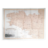
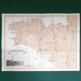
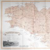
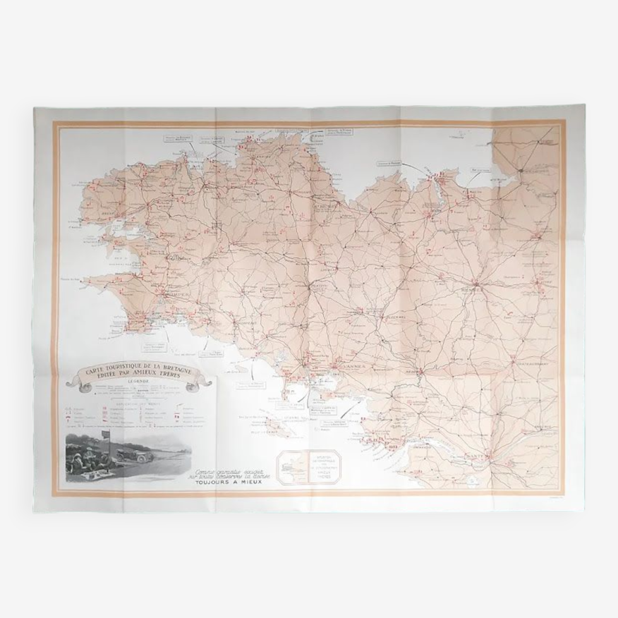
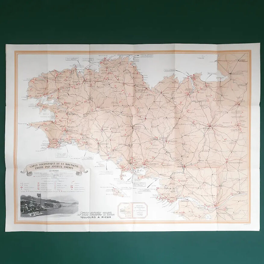
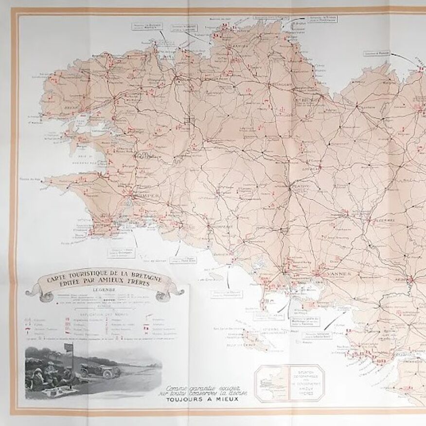
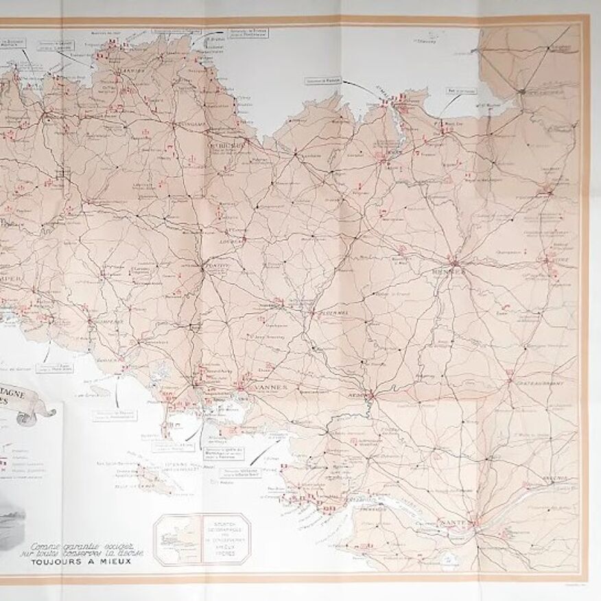
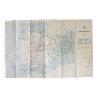
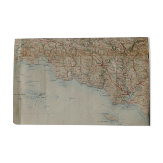
Map of brittany
€100 €120
- H54 x W78
- paper
- multicolour
Mathieu A.
5 ()
Description
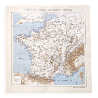
Very nice map of the 40s of brittany with the main roads of the time. Edited on behalf of the nantes cannery of the amieux brothers. Status: tb+ Date: 1940. Dimension: 78*54 cm. Visit my shop for more posters/cards.
Ref. : Q11EE543
- Dimensions :
- H54 x W78
- Color :
- multicolour
- Material :
- paper
- Style :
- vintage
Return your item within 14 days
Cherry-picked items
Carrefully selected sellers
100% secured payment