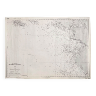
Sold out


Page 1 of 11
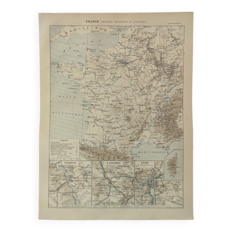
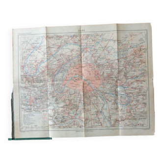
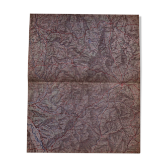
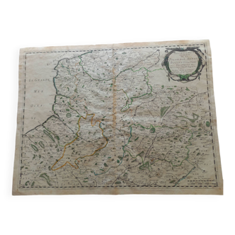
Comparative map of France 1789 and 1815
€75 €100
🙈 Oops, this product is already sold or unavailable. Discover our 1500 new products or products similar to this item !
- Dimensions :
- H52 x W70
- Color :
- multicolour
- Material :
- paper
- Style :
- classic
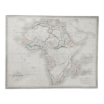
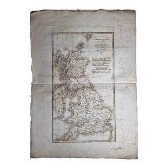
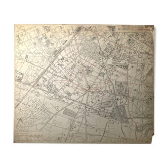
Old card numbered 175. Paris 1830. A fold in the middle. Good condition. Drawn by m l. Lapie and m. Lapie fils géographes du roi et du dauphin. Printed by eymery fruger et cie. Mazarine street no. 50. Paper size: 70 cm X 52 cm. Stored on cardboard and covered with cellophane foil.