Page 1 of 9
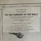
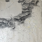
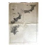
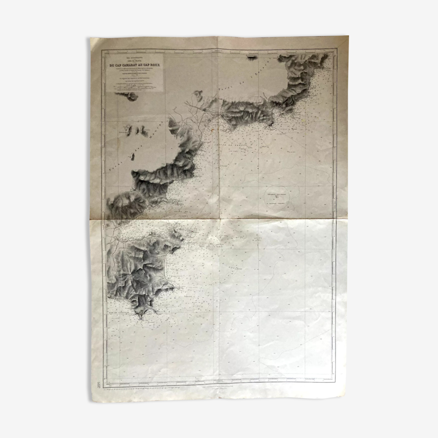
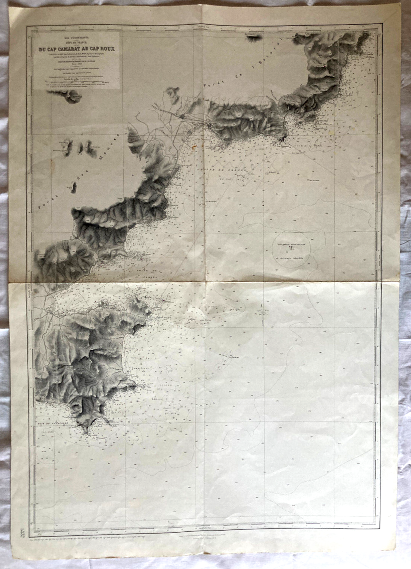
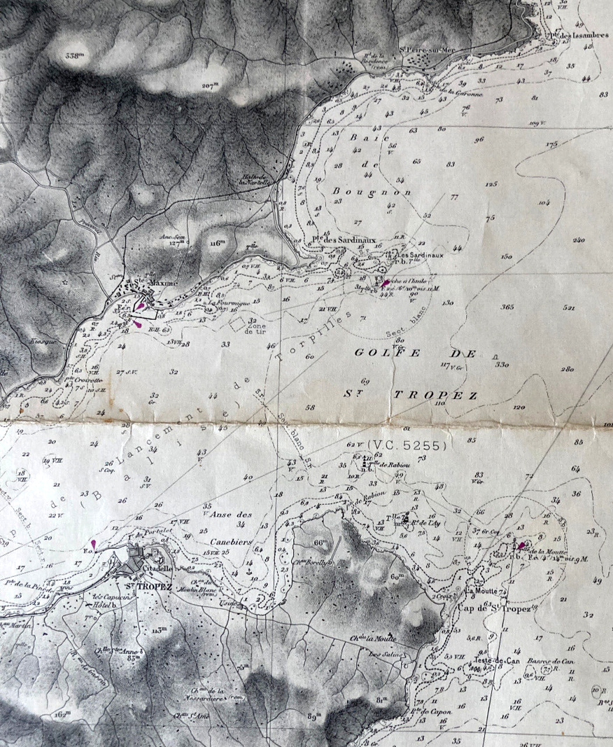
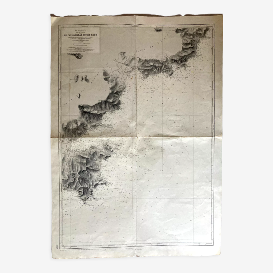
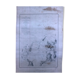
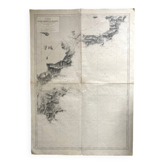
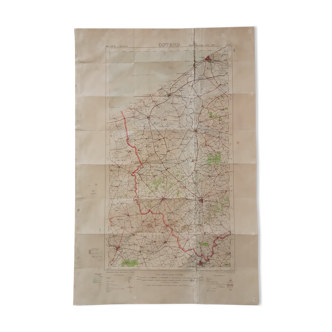
Map from Cap Camarat to Cap Roux: Gulf of St Tropez Ste Maxime Fréjus Côte d'Azur
€100 €120
- H106 x W75 x D1
- paper
- white
Professional
This seller has been carefully selected for their reliability and unique items. Let yourself be tempted.
4.62 ()
Description
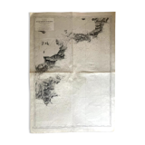
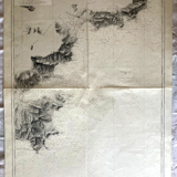
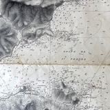
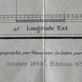
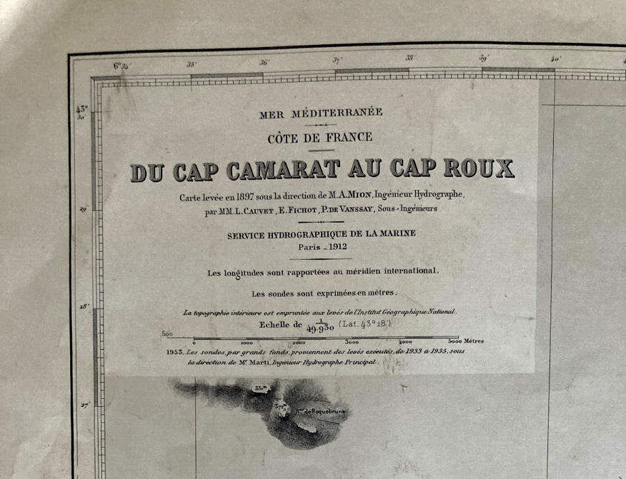
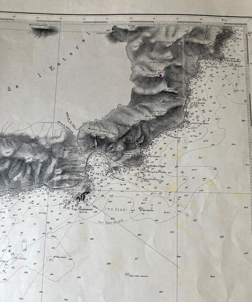
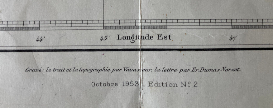
Map from cap camarat to cap roux, map released in 1897 (publication of 1953, edition n°2), hydrographic service of the navy: forest of the maures, forest of the esterel, gulf of st tropez, bay of cavalaire, ste maxime, st tropez, fréjus, circuit of the esquillon (106 X 74.5) traces of use.
Ref. : GZZRS3XV
- Dimensions :
- H106 x W75 x D1
- Color :
- white
- Material :
- paper
- Style :
- vintage
Raphael A.
Professional
This seller has been carefully selected for their reliability and unique items. Let yourself be tempted.
348 sales
4.62 ()
Return your item within 14 days
Cherry-picked items
Carrefully selected sellers
100% secured payment