


Page 1 of 11
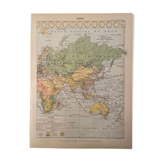
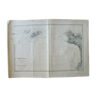
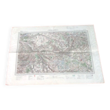
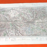
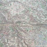
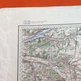
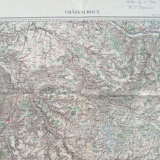
Châteauroux (Indre) Old Geographical Map drawn up, engraved, published...
€40

Châteauroux (Indre) Old Geographical Map drawn up, engraved, published...
€40
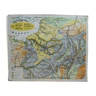
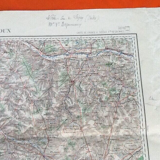
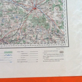
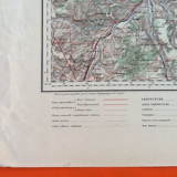
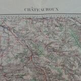
- Dimensions :
- H57 x W80
- Color :
- multicolour
- Material :
- paper
- Style :
- classic
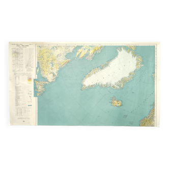
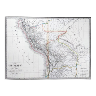
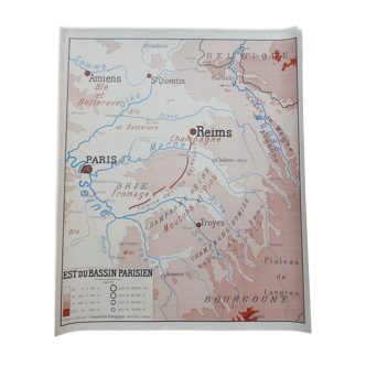
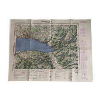
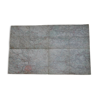
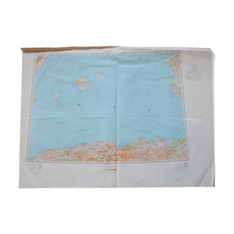
(item sold as is, used condition see all the photos) châteauroux (indre) old geographical map drawn up, engraved, published by the geographical service of the army. Scale 1/200000th sheet n°39 (800x575)mm weight: 65grs.
🇫🇷
Stéphane D.
Professional
This seller has been carefully selected for their reliability and unique items. Let yourself be tempted.
246 sales
4.89 ()