
Page 1 of 11
School map 50s
€100 €200
- H120 x W100 x D2
- paper
- white
Laurence G.
6 sales
Description
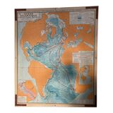
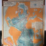
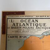
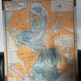
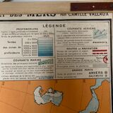
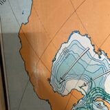
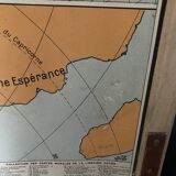
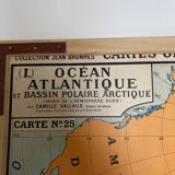
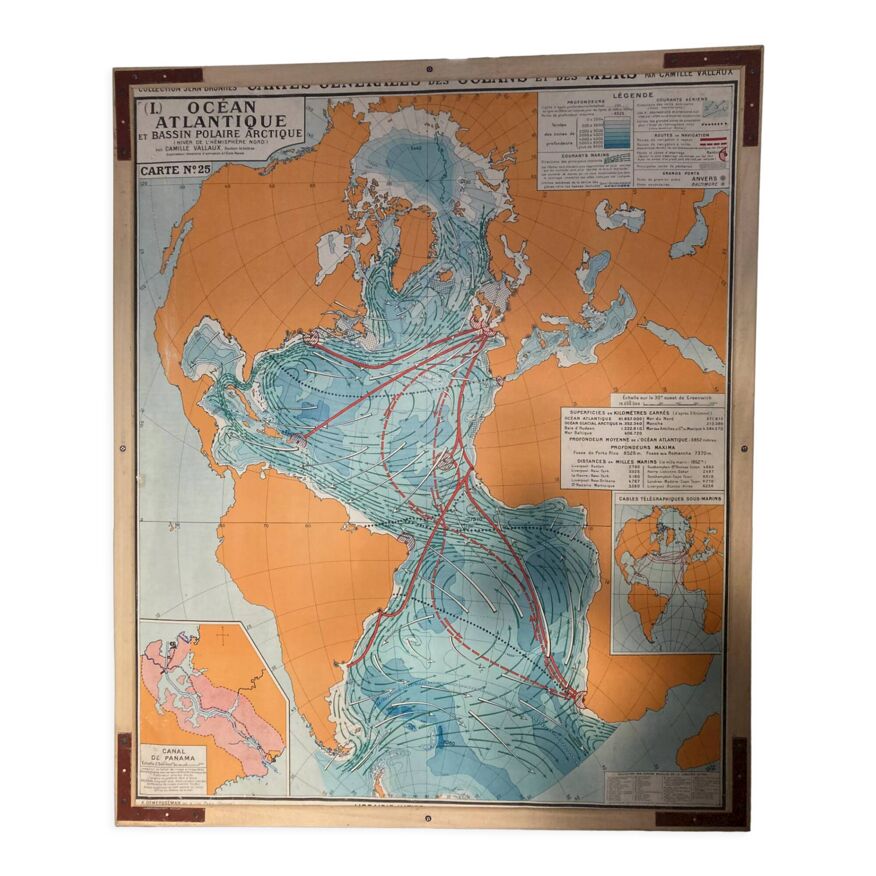
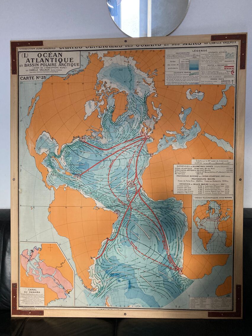
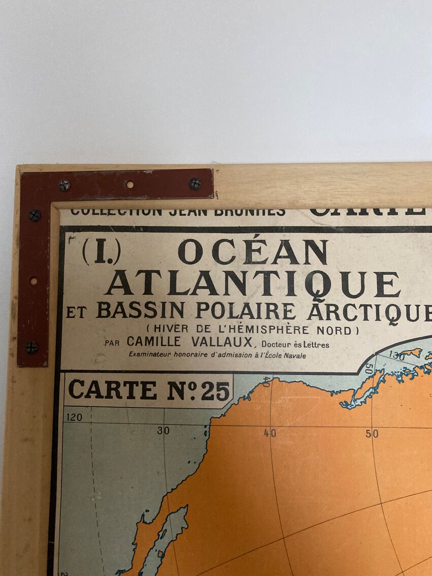
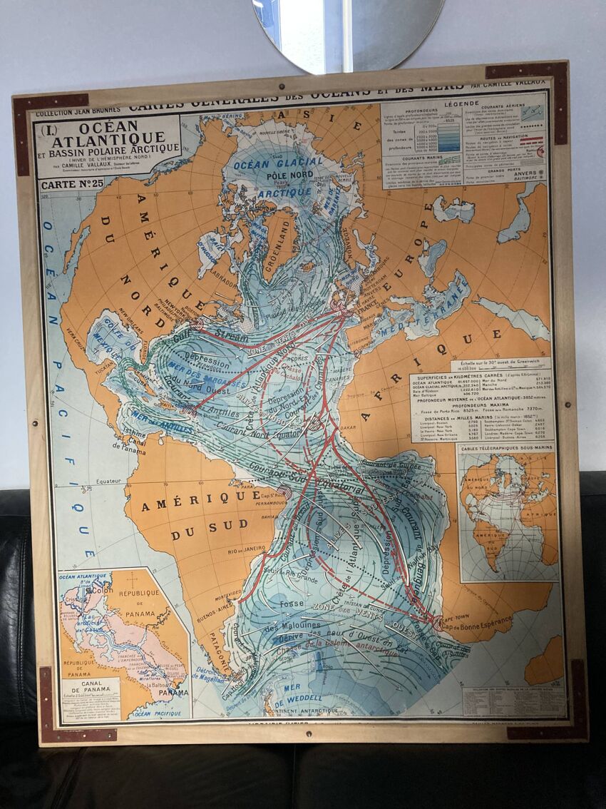
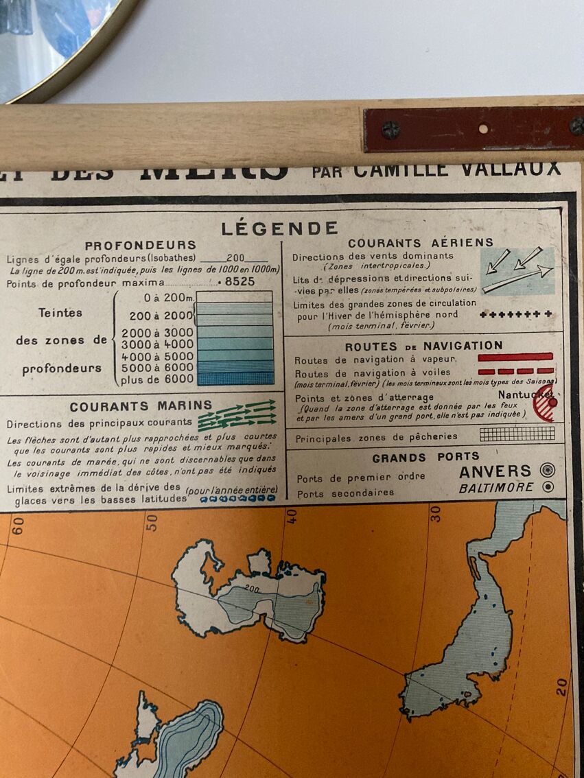
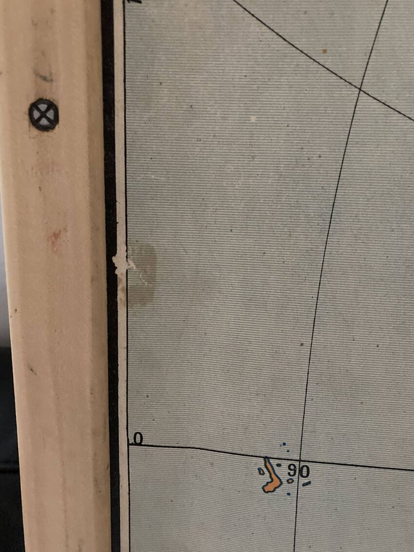
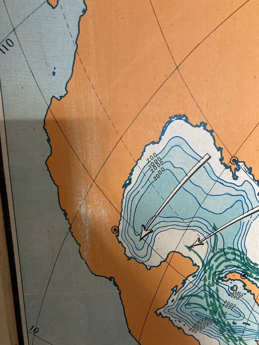
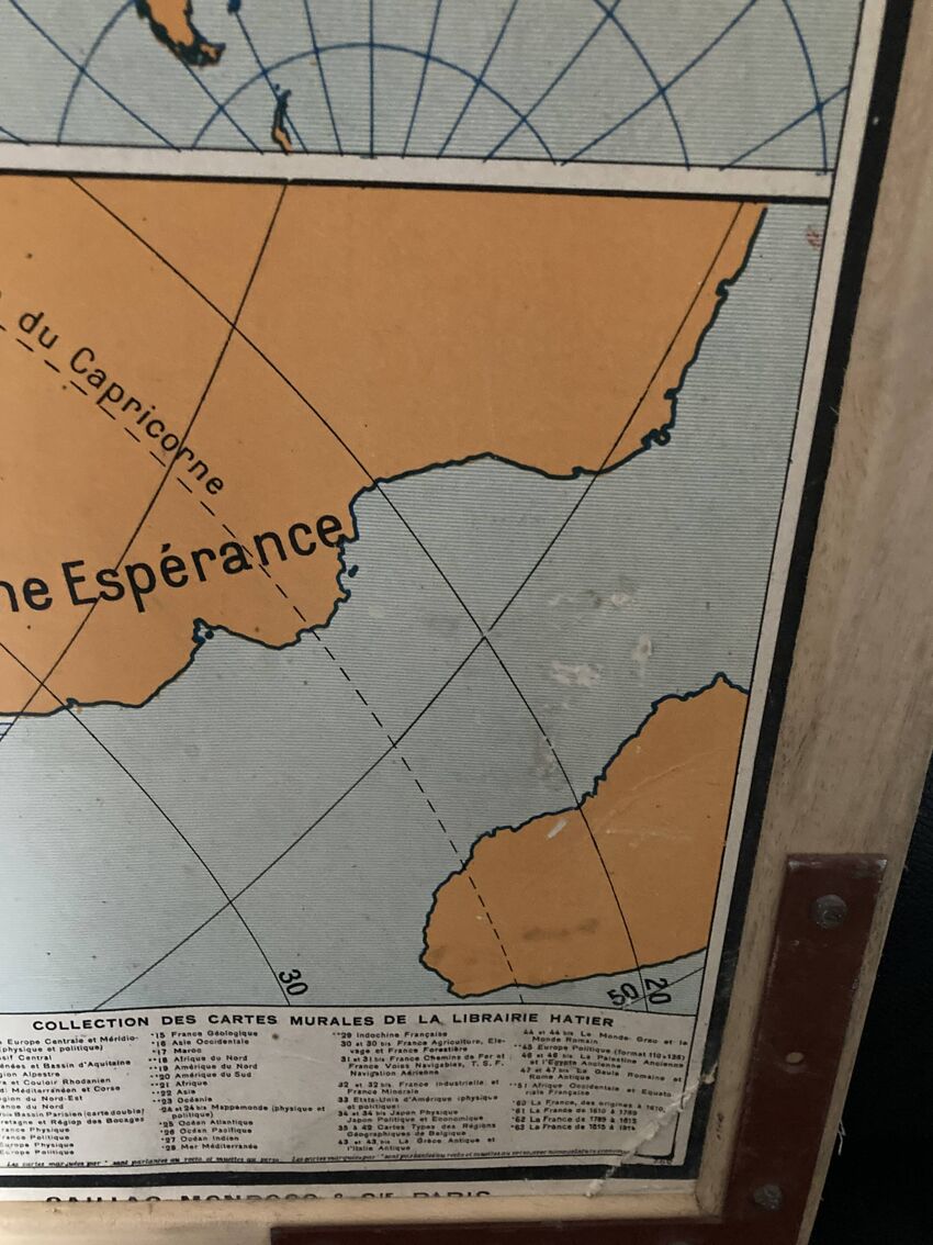
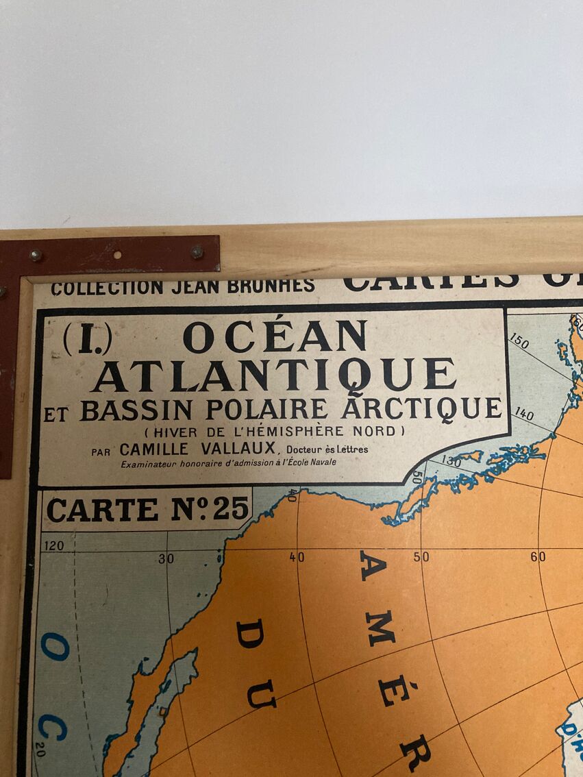
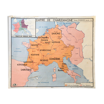
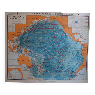
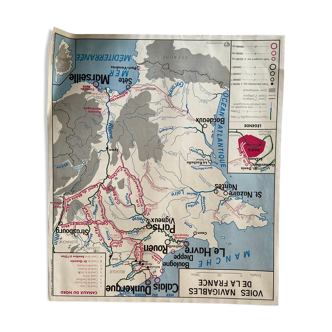
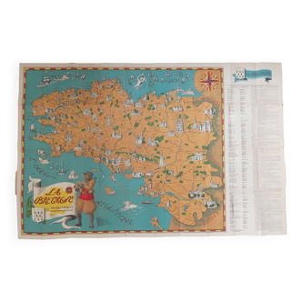
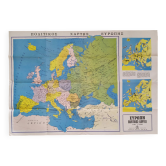
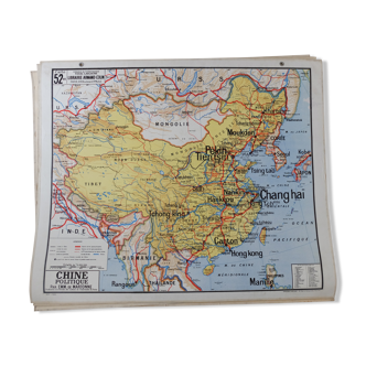
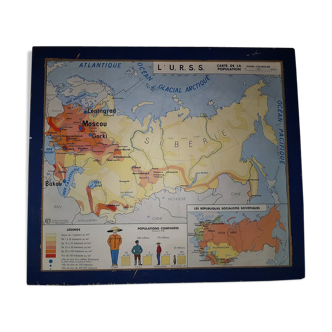
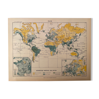
Old school geography map showing the atlantic ocean and the arctic polar basin. Scale 1: 18, 500, 000. Original brunhes collection, series "general maps of the oceans and seas". By camille vallaux, années 1950/60, éditions hatier. Polychrome cardboard poster, atlantic ocean and arctic basin, double-sided, one side with mentions and the other silent. Dimensions: 120 × 100 cm. Good condition for its age, some friction and traces, no holes or visible stains. Framed period map to facilitate the handling of teachers.
Ref. : FFXX7962
- Dimensions :
- H120 x W100 x D2
- Color :
- white
- Material :
- paper
- Style :
- vintage
Return your item within 14 days
Cherry-picked items
Carrefully selected sellers
100% secured payment