Sold out


Page 1 of 11
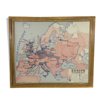
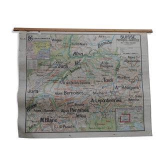
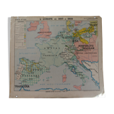
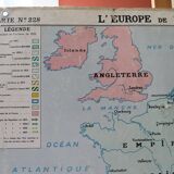
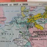
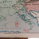
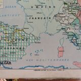
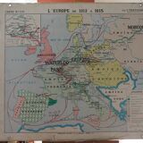
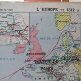
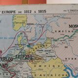
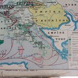
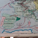
Ancient school map No.229 "Europe from 1803 to 1809"/ No.228 "Europe from 1812 to 1815"
€120 €150
🙈 Oops, this product is already sold or unavailable. Discover our 1500 new products or products similar to this item !
- Dimensions :
- H88 x W100 x D1
- Color :
- multicolour
- Material :
- paper
- Style :
- vintage
Ancient school map no. 229 "europe from 1803 to 1809" on both sides / no.228 "europe from 1812 to 1815" back; by y. Trotignon. Hatier bookstore - michard printing - 1950-60s. Dimensions: 88x100 cm. General condition: pretty good but wear marks and some tears including one in the middle (map used in class) and patina of time. Correct edges, hooked eyebeds ok. Some traces of pens (see photos details). Notice to collectors/enthusiasts of the napoleon period. Careful sending, slightly rolled card. Mondial relay or colissimo.