


Page 1 of 7
Poster map of Alaska
€340 €380
- H56 x W74
- paper
- yellow
Mathieu A.
5 ()
Description
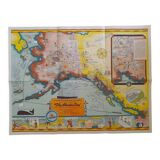
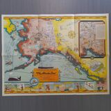
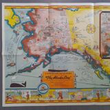
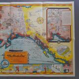
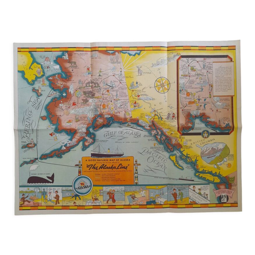
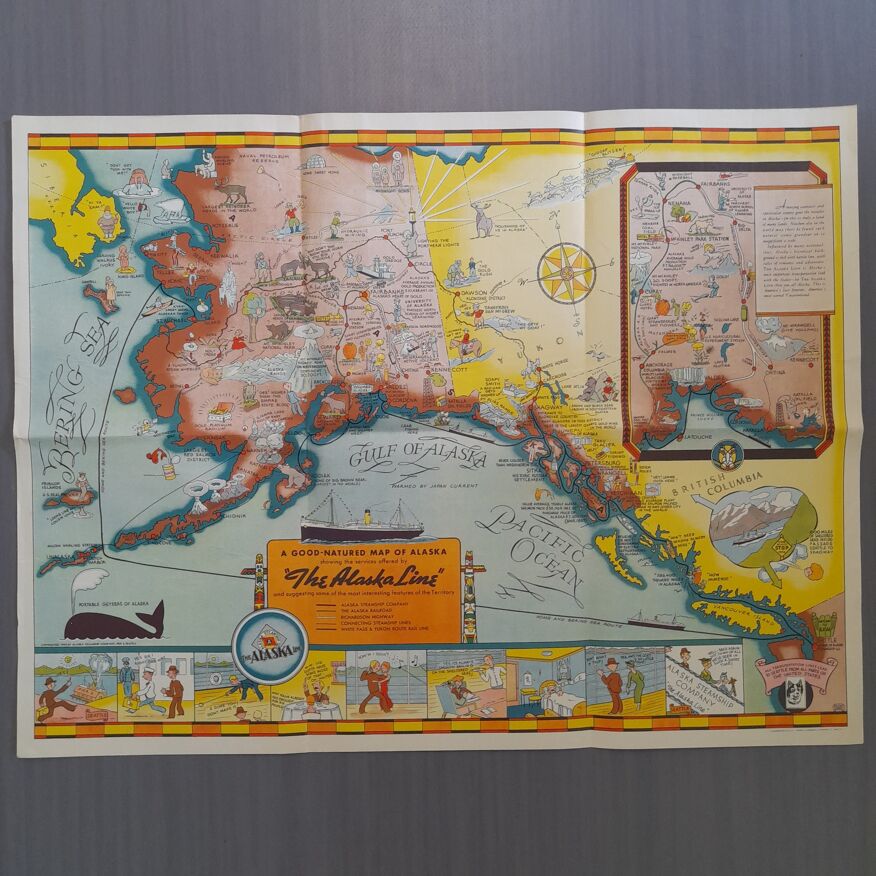
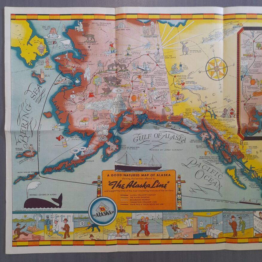
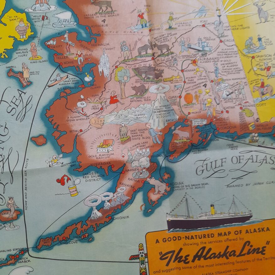
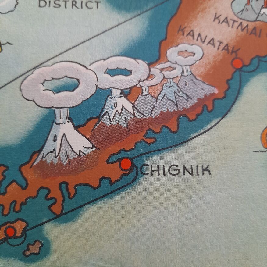
This map of alaska was designed to help change public opinion of "the last frontier" through its bright colors, funny illustrations, and light commentary. It shows the routes taken by the alaska line along the coast and in the bering sea, as well as the inland railroads and the richardson highway. First published in 1934, it was reissued in 1939 and 1940 with a new steamboat route around dutch harbor. The 1940 version is similar to the 1939 version, except for this new road. 56*74 cm.
Ref. : F1E1RXAR
- Dimensions :
- H56 x W74
- Color :
- yellow
- Material :
- paper
- Style :
- vintage
Return your item within 14 days
Cherry-picked items
Carrefully selected sellers
100% secured payment