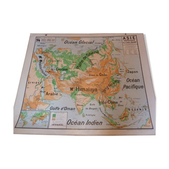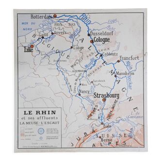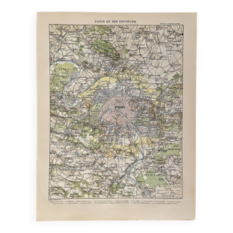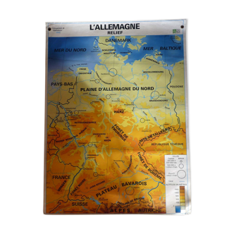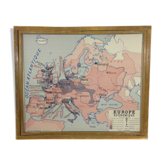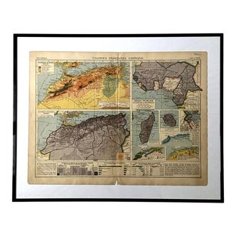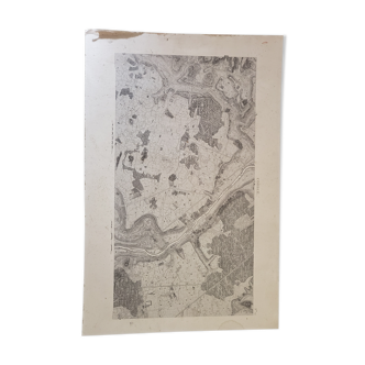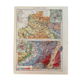
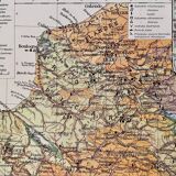
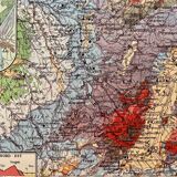

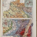


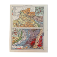
Old map of North and East of the France from 1945
- Color :
- multicolour
- Material :
- paper
- Style :
- vintage
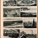
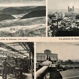
Lithograph displays old map of the north and east of the france (original), taken from an old atlas. 💎 all lithographs and maps in this account are originals and not copies. Illustrated on both sides and back (photographic board of landscapes and emblematic cities of the region) Other maps (especially illustrated) the other french regions also available on this account. Date: publication of the book between 1945 and 1950. Dimensions: 26 X 33 cm. To be framed. Deco, decoration, vintage, gift idea and country house. World travel mapping planisphere economy sea maritime country coasts picardy film and cinema setting geography guest house history cartography passion calais boulogne sur mer amiens artois roubaix lille flandre soissonnais reims rouen alsace lorraine mulhouse fribourg nancy strasbourg verdun moselle santerre vexin ardenne.
4.97 ()