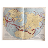
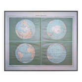
Old map Communications — Northern Hemisphere | Maritime routes & p

- Dimensions :
- H65 x W63 x D1
- Color :
- multicolour
- Material :
- linen
- Style :
- vintage
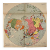
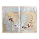
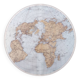
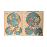
Original map sheet, printed in France. Map of communications in the Northern Hemisphere in polar projection — a rare layout that reveals at a glance the major maritime routes connecting North America, Europe, and the USSR. The ocean currents are represented in blue, with thickness proportional to the volume of traffic — an elegant and immediately readable graphic technique. The commercial ports are ranked by tonnage, from Glasgow to Yokohama, including New York and Rotterdam. Sober and strong graphic composition, very effective when framed in large format. Trilingual legends (French, English, Spanish). Condition: very good, light shades well preserved, slight signs of age-related wear. Careful and protected delivery, or free collection in Paris and Lyon.
Earth globes & geographical maps: other similar vintage pieces
Discover more similar items