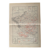
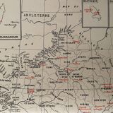
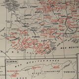
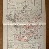

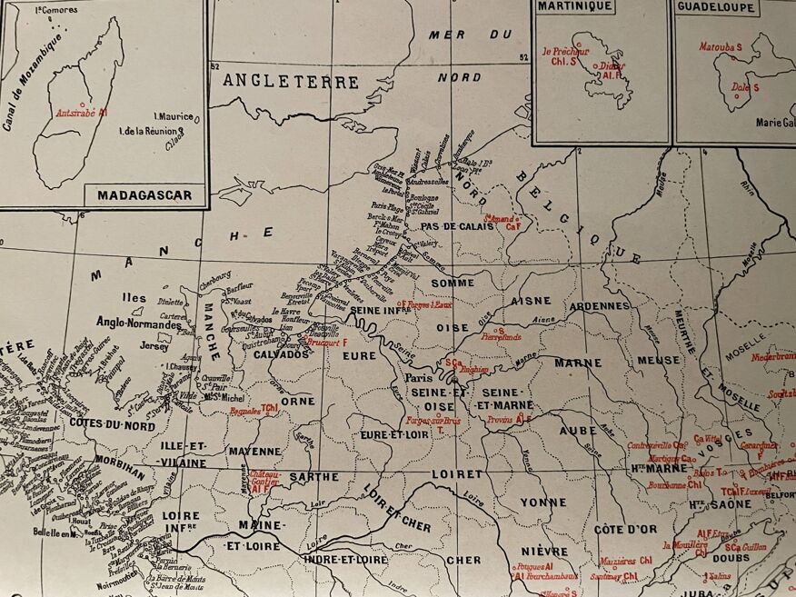

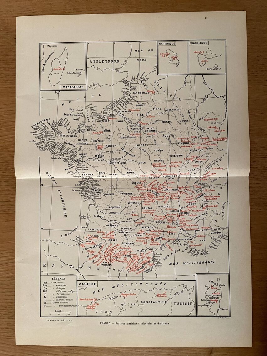
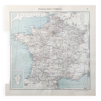
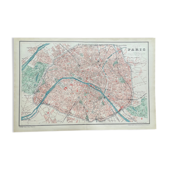
Old map of thermal, maritime, mineral and altitude resorts – 1950
- Great deal
- H38 x W26
- paper
- multicolour
4.96
Description
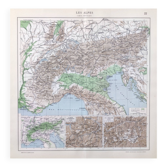
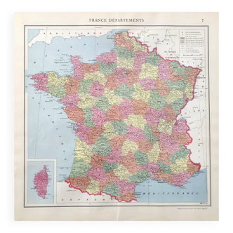
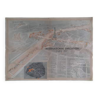
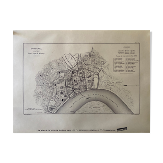
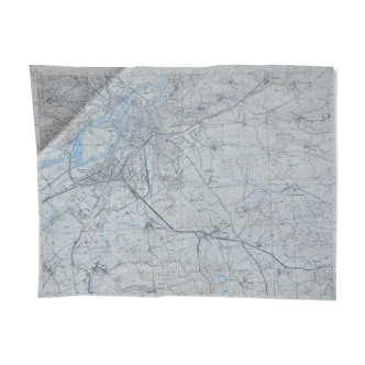
Old map of france with maritime, mineral and altitude stations taken from an old encyclopedia. 💎 all lithographs and maps on this account are originals and not copies date: publication of the work in the 1950s dimensions: 26.3 X 38 cm to be framed decoration, country house decoration, vintage, gift idea geography cartography regions of france film and cinema setting passion travel tourist office vittel luchon in the pyrenees cambo-les-bains balaruc-les-bains avène-les-bains châteauneuf-les-bains challes-les-eaux villefranche-sur-mer.
Ref. : BR5Q1DTE
- Dimensions :
- H38 x W26
- Color :
- multicolour
- Material :
- paper
- Style :
- vintage
4.96
Our suggestion of similar items
Discover more similar items

Return your item within 14 days
Cherry-picked items
Carrefully selected sellers
100% secured payment