Sold out


Page 1 of 8
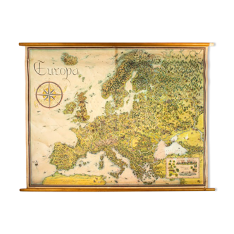
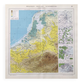
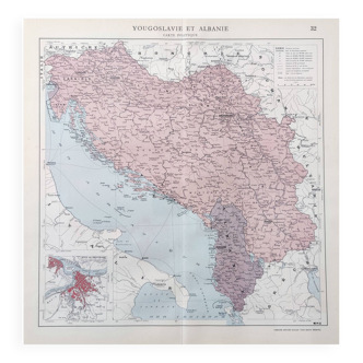
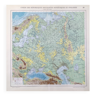
Ancient school map of Europe from 1812 to 1815 - No.228 /229
€120
🎁 30€ off on your first order with the code SELENCY30.
Learn more
Enjoy €30 off with a minimum order value of €300 (delivery cost excluded).
🙈 Oops, this product is already sold or unavailable. Discover our 1500 new products or products similar to this item !
- Dimensions :
- H88 x W100
- Color :
- multicolour
- Material :
- paper
- Style :
- vintage
Ancient and rare double-sided wall school map of l'europe from 1812 to 1815 by hatier's y. Trotignon. Recto: no.228: map of europe from 1803 to 1809. Verso: no.229: map of europe from 1812 to 1815. Old map of the 50s and 60s made and printed in france. Good condition, traces of use and some alterations to note (see photos). Thick cardboard with edges protected by a canvas binding. Hanging eyedilles. Beautiful patina and pretty details. Sent rolled. Dimensions: 100 cm / 88 cm.
🇫🇷
Maggie D.
Professional
This seller has been carefully selected for their reliability and unique items. Let yourself be tempted.
436 sales
5