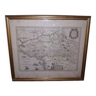
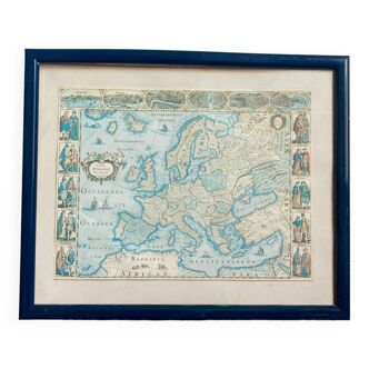
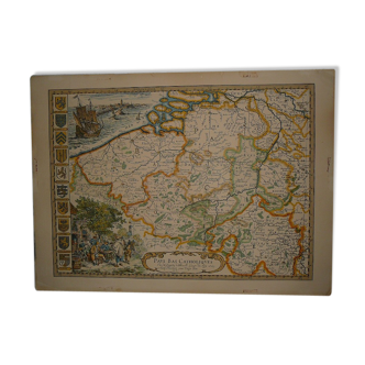
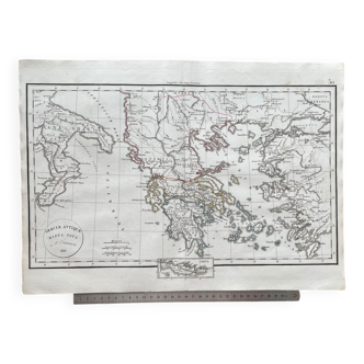
Map General Government Orléans Maine Perche Beauce Gastinois Sanson
🙈 Oops, this product is already sold or unavailable. Discover our 1500 new products or products similar to this item !
- Dimensions :
- H54 x W59 x D1
- Color :
- multicolour
- Material :
- paper
- Style :
- classic
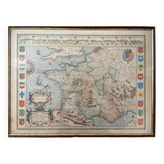
This engraved map by nicolas sanson d'abbeville dates from 1651. Nicolas sanson (1600-1667), sometimes called nicolas sanson d'abbeville or sanson d'abbeville, was the most important french cartographer of the 17th century. He began making maps in late 1620, and in 1630 he worked with melchior tavernier. Subsequently, sanson worked in concert with the editor-in-chief of the press pierre mariette, with whom he published his large atlas: general maps of all parts of the world (1658). The map has a 20th century pitch pine frame. We report traces, bites, an accident on the glass, marks on the map. However, everything remains in an acceptable general condition. Our numerous photos allow you to appreciate the quality of the object. L4015 for the condition, please provide detailed photos. Feel free to zoom in. The photos are an integral part of the description. Dimensions: frame height: 54.5 cm width: 59.5 cm thickness: 1.5 cm card height: 50 cm width: 65 cm.
4.99 ()