Great deal

Page 1 of 8
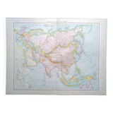
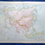
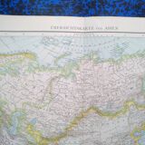
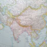
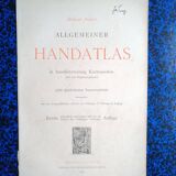
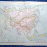
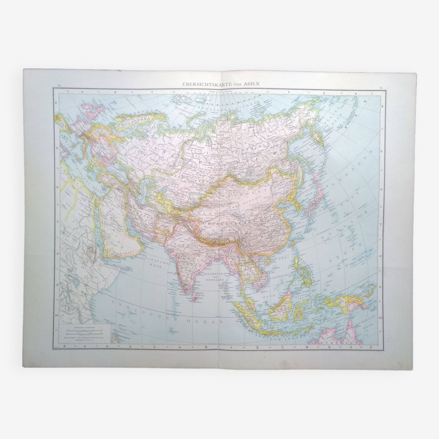
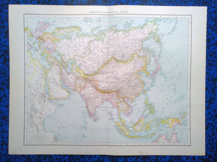
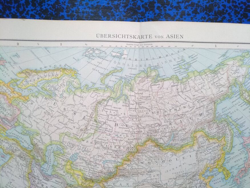
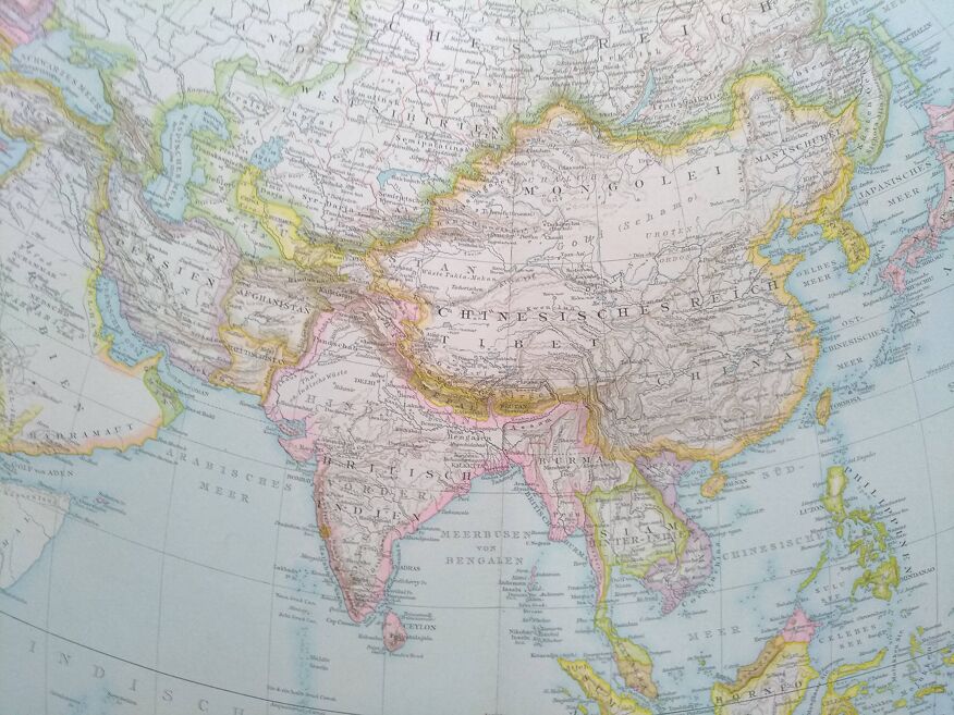
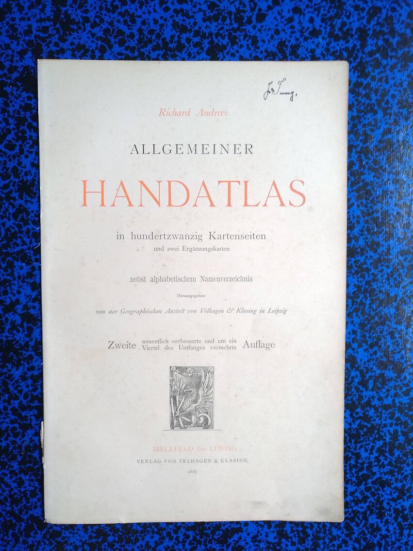
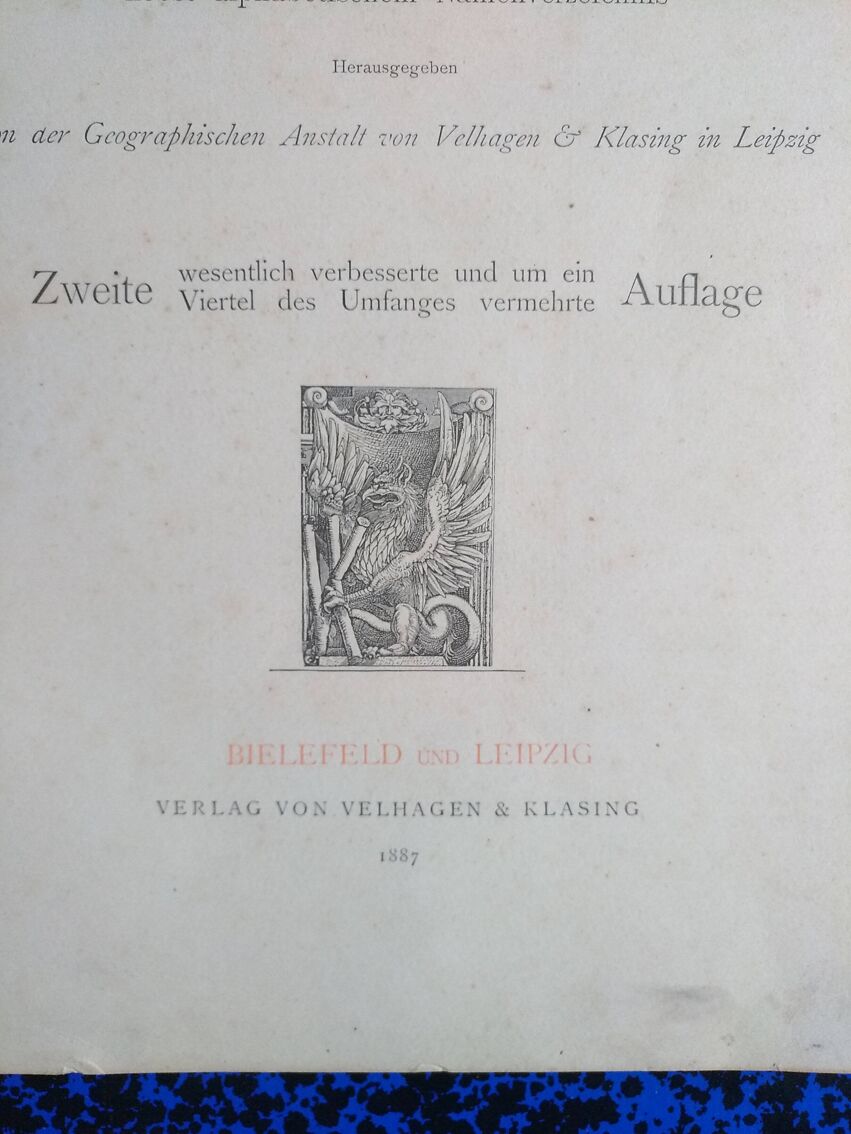
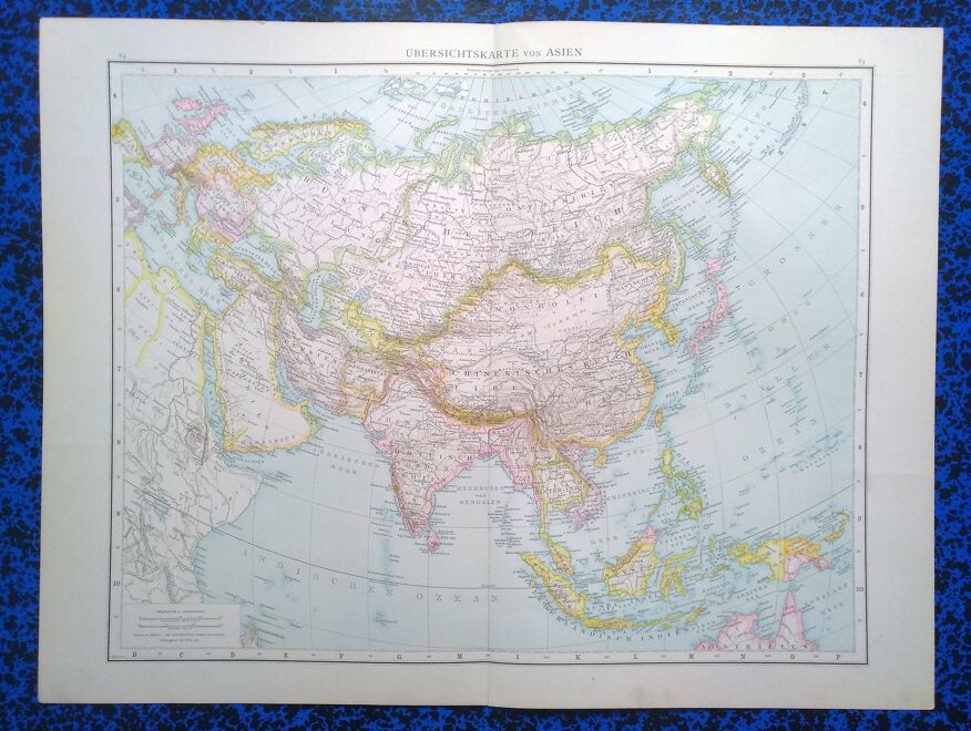
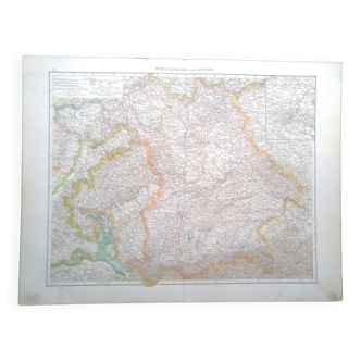
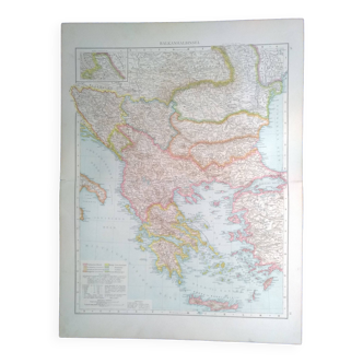
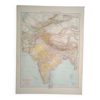
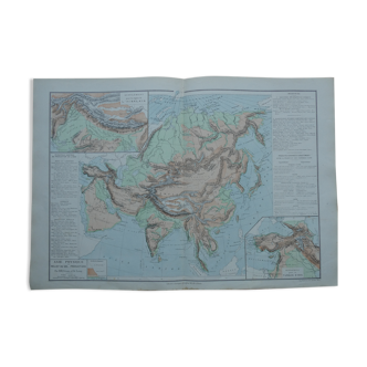
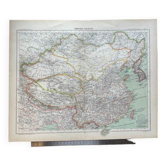
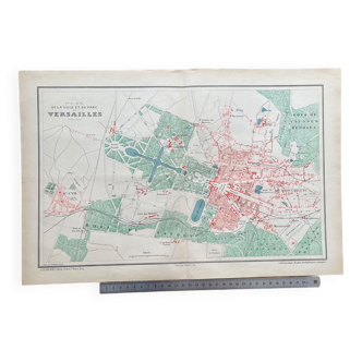
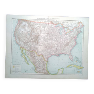
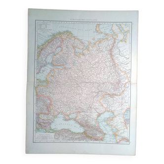
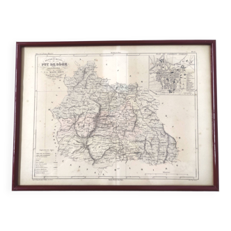
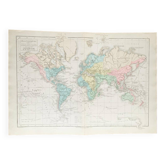
A geographical map from the Richard Andrees atlas year 1887 Asia Ubersichtskarte Asien
€27
- Great deal
- H56 x W42
- paper
- multicolour
tony M.
5 ()
Description
This map comes from a richard andrees atlas from 1887 and is folded. On the back on each half of a card there is a palestine & afghanistan map. There is a photo of the cover page to justify its origin; it is not sold with it. This card is sent in a large reinforced envelope. The format given is that of the unfolded card. The card support is relatively thick, therefore good support for possible framing. Several maps available.
Ref. : 8KTYAZKR
- Dimensions :
- H56 x W42
- Color :
- multicolour
- Material :
- paper
- Style :
- vintage
Return your item within 14 days
Cherry-picked items
Carrefully selected sellers
100% secured payment